
Fort Frances in Rainy River District, Ontario — Central Canada (North America)
Establishing the Fur Trade
| — | Discover Fort Frances | — |
Photographed by Cosmos Mariner, June 17, 2024
1. Establishing the Fur Trade Marker
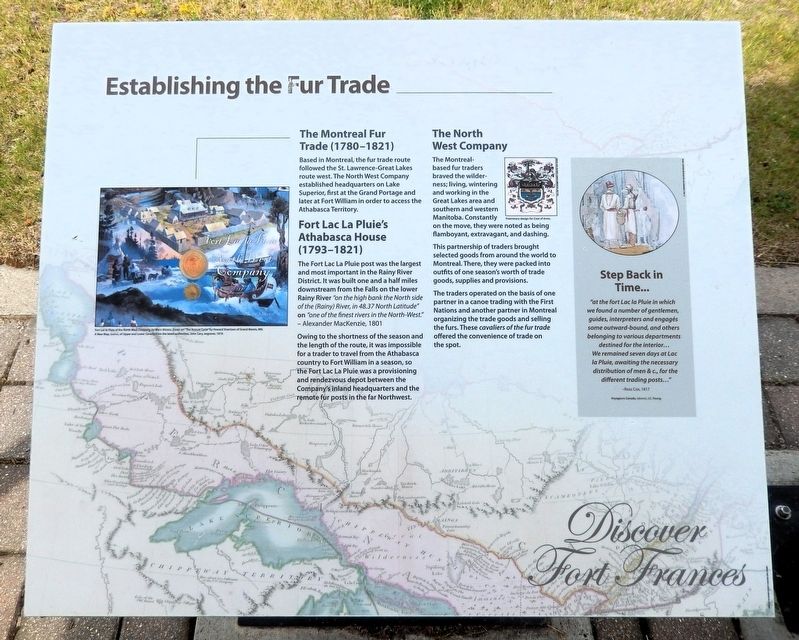
The Montreal Fur Trade (1780-1821)
Based in Montreal, the fur trade route followed the St. Lawrence-Great Lakes route west. The North West Company established headquarters on Lake Superior, first at the Grand Portage and later at Fort William in order to access the Athabasca Territory.
Fort Lac La Pluie's Athabasca House (1793-1821)
The Fort Lac La Pluie post was the largest and most important in the Rainy River District. It was built one and a half miles downstream from the Falls on the lower Rainy River “on the high bank the North side of the (Rainy) River, in 48.37 North Latitude” on “one of the finest rivers in the North-West.”
—Alexander MacKenzie, 1801
Owing to the shortness of the season and the length of the route, it was impossible for a trader to travel from the Athabasca country to Fort William in a season, so the Fort Lac La Pluie was a provisioning and rendezvous depot between the Company’s inland headquarters and the remote fur posts in the far Northwest.
The North West Company
The Montreal-based fur traders braved the wilderness; living, wintering and working in the Great Lakes area and southern and western Manitoba.
this page online
This partnership of traders brought selected goods from around the world to Montreal. There, they were packed into outfits of one season's worth of trade goods, supplies and provisions.
The traders operated on the basis of one partner in a canoe trading with the First Nations and another partner in Montreal organizing the trade goods and selling the furs. These cavaliers of the fur trade offered the convenience of trade on the spot.
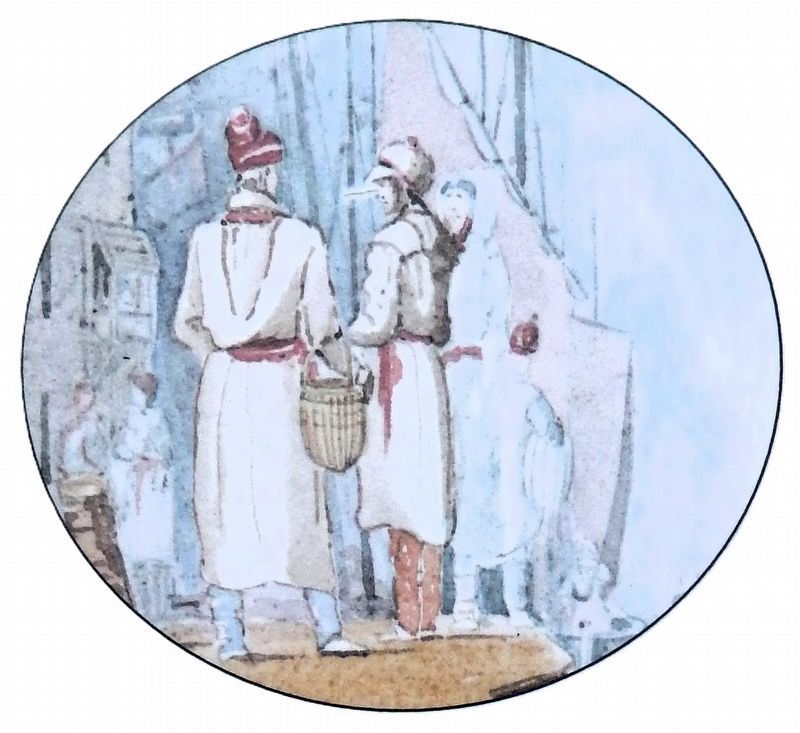
Step Back in Time...
“at the fort Lac la Pluie in which we found a number of gentlemen, guides, interpreters and engagés some outward-bound, and others belonging to various departments destined for the interior... We remained seven days at Lac la Pluie, awaiting the necessary distribution of men & c., for the different trading posts...”
—Ross Cox, 1817
[background image caption] A New Map of Upper and Lower Canada from the latest authorities, John Cary, engraver, 1819.
Topics. This historical marker is listed in these topic lists: Forts and Castles • Industry & Commerce • Waterways & Vessels.
Location. 48° 36.665′ N,

2. Marker detail: Fort Lac la Pluie of the North West Company by Merv Ahrens
Cover art “The Annual Cycle” by Howard Siverston of Grand Marais, MN.

Regionally, this marker is in Northern Ontario and specifically in Northwest Ontario. It is also in Central Canada. Globally, it is in North America, the Great North Woods, the Western Hemisphere, the Western World, and the Anglosphere. Historically, it finds itself in what was once a British colony, the Viceroyalty of New France, the Haudenosaunee (Iroquois) Confederacy, and Rupert’s Land.
Other nearby markers. At least 8 other markers are within walking distance of this marker: Pelts, Paddles and Portages (here, next to this marker); The Fur Trade Competition (approx. 0.4 kilometers away); a different marker also named Pelts, Paddles and Portages
Courtesy Royal Ontario Museum
3. Marker detail: Voyageurs Canada, J.C. Young
Also see . . . Fort Lac la Pluie (Wikipedia).
Excerpt: Fort Lac la Pluie was a fur trade depot established by the North West Company sometime between 1775 and 1787. It was located on a high bank on the west side of modern Fort Frances, Ontario across from International Falls, Minnesota on the Rainy River downstream (west) of some rapids (Chaudière portage) where the river flows out of Rainy Lake.(Submitted on September 4, 2026, by Cosmos Mariner of Cape Canaveral, Florida.)The place was a depot rather than a trading post and served two purposes. By this time the trade had reached the rich Lake Athabasca country which was too far to reach from Montreal in one season. Each May, when the ice broke up, boats with trade goods would head west from Montreal and winterers with canoe loads of fur would head east. They
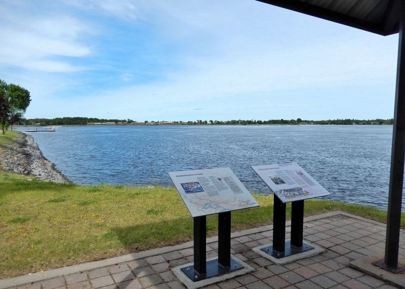
would meet at Grand Portage on Lake Superior, exchange goods and head back before the freeze-up. To further save time goods and furs would be shuttled between Grand Portage and Lac la Pluie. Second, it was a source of food. The voyageurs had no time to hunt and it was difficult to haul food from Montreal. Rainy Lake produced wild rice and fish. The fort also built kegs and canoes.Photographed by Cosmos Mariner, June 17, 20244. Establishing the Fur Trade MarkerLooking northeast across the Rainy River. This marker is the leftmost of two interpretive panels on the north side of the picnic shelter.With the growth of pemmican production around Lake Winnipeg its importance as a food source diminished. It declined further when the two companies merged and trade shifted from Montreal to Hudson Bay. With the merger of the two firms in 1821 it was taken over by the Hudson's Bay Company. In 1830 it was named Fort Frances in honor of Governor Simpson's new wife.
Credits. This page was last revised on September 4, 2026. It was originally submitted on September 3, 2026, by Cosmos Mariner of Cape Canaveral, Florida. This page has been viewed 4 times since then. Photos: 1, 2, 3, 4. submitted on September 4, 2026, by Cosmos Mariner of Cape Canaveral, Florida.
