Lakeside At Frisco Bridges in Collin County, Texas — The American South (West South Central)
Twin Wells
Photographed by James Hulse, September 3, 2026
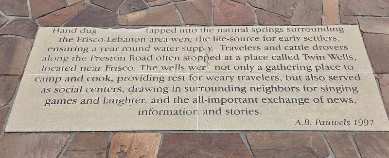
1. Twin Wells Marker
Hand dug wells tapped into the natural springs surrounding the Frisco-Lebanon area were the life-source for early settlers, ensuring a year round water supply. Travelers and cattle drovers along the Preston Road often stopped at a place called Twin Wells, located near Frisco. The wells were not only a gathering place to camp and cook, providing rest for weary travelers, but also served as social centers, drawing in surrounding neighbors for singing games and laughter, and the all-important exchange of news, information and stories.
A.B. Pauwels 1997
Topics. This historical marker is listed in these topic lists: Roads & Vehicles • Settlements & Settlers. A significant historical year for this entry is 1997.
Location. 33° 6.242′ N, 96° 49.007′ W. Marker is in Frisco, Texas, in Collin County. It is in Lakeside At Frisco Bridges. It is at the intersection of Parkwood Boulevard and Seei Cir, on the right when traveling south on Parkwood Boulevard. Touch for map. Marker is at or near this postal address: 3155 Parkwood Blvd, Frisco TX 75034, United States of America. Touch for directions.

Regionally, this marker is in the
this page online
Other nearby markers. At least 8 other markers are within walking distance of this marker: Tribes and Trails (within shouting distance of this marker); a different marker also named Tribes and Trails (within shouting distance of this marker); Mayor Kathy A. Seei (about 300 feet away, measured in a direct line); The Trail Drive Company (approx. 0.2 miles away); Trail Driving Prior to 1845 (approx. 0.4 miles away); The Texas Longhorn (approx. 0.4 miles away); The Cow Camp (approx. 0.4 miles away); The Trail Crew (approx. 0.4 miles away). Touch for a list and map of all markers in Frisco.
Photographed by James Hulse, September 3, 2026
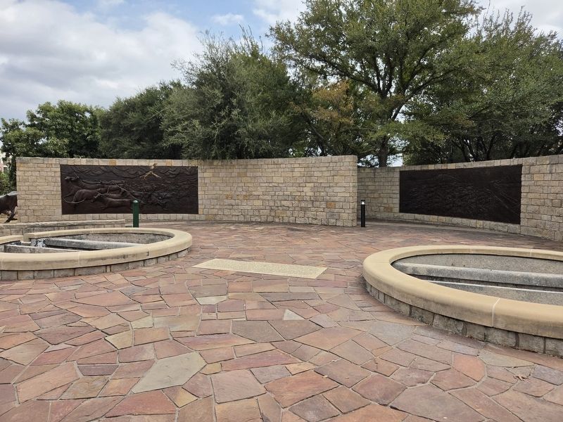
2. Twin Wells Marker
The marker is located in between the Twin Wells.
Photographed by James Hulse, September 3, 2026
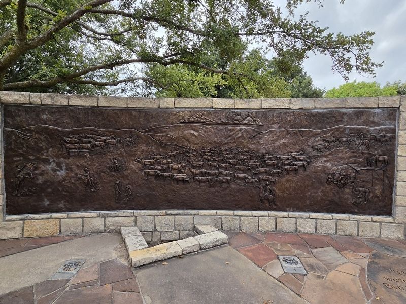
3. Twin Wells Marker
Bronze relief of cattle and trail
Photographed by James Hulse, September 3, 2026
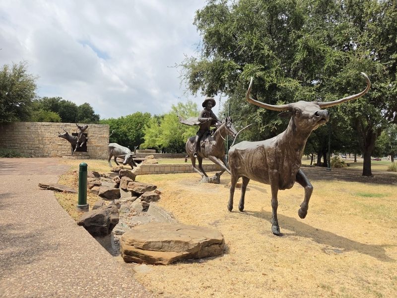
4. Twin Wells Marker
Bronze relief of longhorns and cowboys.
Credits. This page was last revised on September 4, 2026. It was originally submitted on September 3, 2026, by James Hulse of Medina, Texas. This page has been viewed 10 times since then. Photos: 1, 2, 3, 4. submitted on September 4, 2026, by James Hulse of Medina, Texas.
