Near North Bonneville in Skamania County, Washington — The American West (Northwest)
Forts Lugenbeel, Rains, and Cascade
Blockhouses in the Gorge
Photographed by Barry Swackhamer, June 12, 2026
1. Forts Lugenbeel, Rains, and Cascade Marker
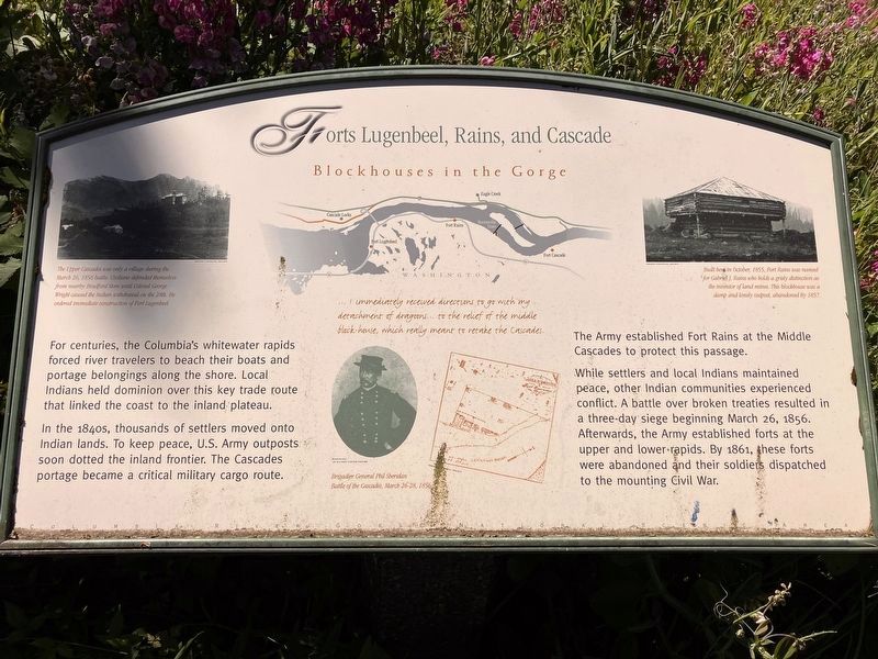
Caption: (oval, bottom center) ... I immediately received directions to go with my detachment of dragoons... to the relief of the middle block-house, which really meant to retake the Cascade. Brigadier General Phil Sheridan, Battle of the Cascade, March 26-28, 1856
In the 1840s, thousands of settlers moved onto Indian lands. To keep peace, U.S. Army outposts soon dotted the inland frontier. The Cascades portage became a critical military cargo route.
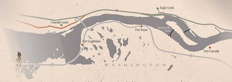
The Army established Fort Rains at the middle Cascades to protect this passage.
While settlers and local Indians maintained peace, other Indian communities experienced conflict. A battle over broken treaties resulted in a three-day siege beginning March 26, 1856. Afterwards, the Army established forts at the upper and lower rapids. By 1861, these forts were abandoned and their soldiers dispatched to the mounting Civil War.
Topics. This historical marker is listed in these topic lists: Forts and Castles • Wars, US Indian. A significant historical date for this entry is March 26, 1856.
Location. 45° 39.182′ N, 121° 55.128′ W. Marker is near North Bonneville, Washington, in Skamania County. It is at the intersection
this page online

Regionally, this marker is in the Columbia River Gorge and in Southwest Washington State. It is also on the American Pacific Coast, in the Pacific Northwest, and in the Lewis & Clark Corridor. Globally, it is in North America, in the Cascade Range, on the Ring of Fire, on the Pacific Rim, in the Western Hemisphere, in the Western World, and in the Anglosphere.
Other nearby markers. At least 8 other markers are within 3 miles of this marker, measured as the crow flies: The North Bank Railroad (here, next to this marker); The Bridge of the Gods (approx. one mile away); a different marker also named The Bridge of the Gods (approx. 1.2 miles away in Oregon); This Old Turbine (approx. 1.4 miles away in Oregon); Bradford Island Fishway (approx. 1.4 miles away in Oregon); Cascade Falls Portage (approx. 1½ miles away in Oregon); the Oregon Pony (approx. 1.6 miles away in Oregon);
Photographed by Barry Swackhamer, June 12, 2026
2. Fort Lugenbeel
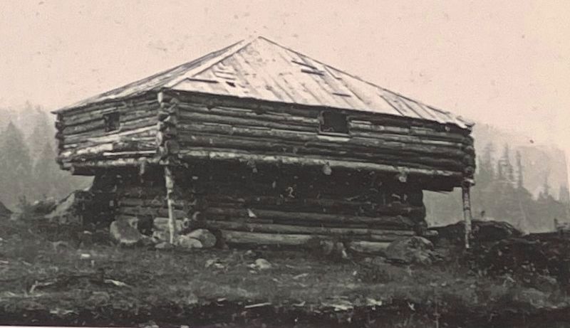
Built here in October, 1855, Fort Rains was named for Gabriel J. Rains who holds a grisly distinction as the inventor of land mines. This blockhouse was a damp and lonely outpost, abandoned in 1857.;
Photographed by Barry Swackhamer, June 12, 2026
3. Forts Lugenbeel, Rains, and Cascade Marker
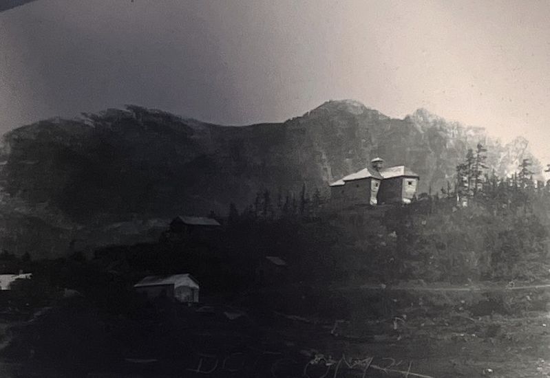
The upper Cascades was only a village during the March 26, 1856 battle. Civilians defended themselves from nearby Bradford Store until Colonel George Wright caused the Indian withdrawal on the 28th. He ordered immediate construction of Fort Lugenbeel.;
Photographed by Barry Swackhamer, June 12, 2026
4. Map of the Cascades blockhouses
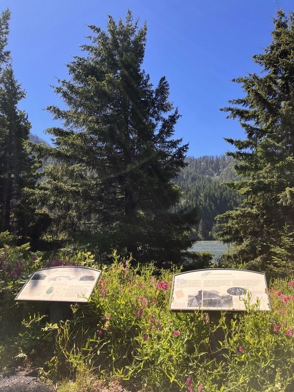
Photographed by Barry Swackhamer, June 12, 2026
5. Forts Lugenbeel, Rains, and Cascade Marker
Marker on the left
Credits. This page was last revised on September 4, 2026. It was originally submitted on September 4, 2026, by Barry Swackhamer of Brentwood, California. This page has been viewed 20 times since then. Photos: 1, 2, 3, 4, 5. submitted on September 4, 2026, by Barry Swackhamer of Brentwood, California.
