Princeton in Collin County, Texas — The American South (West South Central)
Princeton Cemetery
Photographed by James Hulse, September 4, 2026
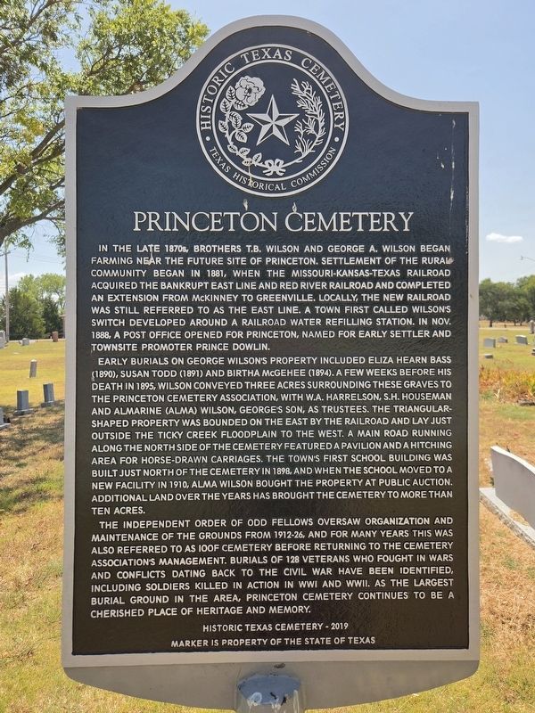
1. Princeton Cemetery Marker
In the late 1870s, brothers T.B. Wilson and George A. Wilson began farming near the future site of Princeton. Settlement of the rural community began in 1881, when the Missouri-Kansas-Texas Railroad acquired the bankrupt East Line and Red River Railroad and completed an extension from McKinney to Greenville. Locally, the new railroad was still referred to as the East Line. A town first called Wilson's Switch developed around a railroad water refilling station. In Nov. 1888, a post office opened for Princeton, named for early settler and townsite promoter Prince Dowlin.
Early burials on George Wilson's property included Eliza Hearn Bass (1890), Susan Todd (1891) and Birtha McGehee (1894). A few weeks before his death in 1895, Wilson conveyed three acres surrounding these graves to the Princeton Cemetery Association, with W.A. Harrelson, S.H. Houseman and Almarine (Alma) Wilson, George's son, as trustees. The triangular-shaped property was bounded on the east by the railroad and lay just outside the Ticky Creek floodplain to the west. A main road running along the north side of the cemetery featured a pavilion and a hitching
this page online
The Independent Order of Odd Fellows oversaw organization and maintenance of the grounds from 1912-26, and for many years this was also referred to as IOOF Cemetery before returning to the cemetery association's management. Burials of 128 veterans who fought in wars and conflicts dating back to the Civil War have been identified, including soldiers killed in action in WWI and WWII. As the largest burial ground in the area, Princeton Cemetery continues to be a cherished place of heritage and memory.
Erected 2019 by Texas Historical Commission. (Marker Number 22847.)
Topics. This historical marker is listed in this topic list: Cemeteries & Burial Sites. A significant historical month for this entry is October 1888.
Location. 33° 10.692′ N, 96° 30.104′ W. Marker is in Princeton, Texas, in Collin County. It is at the intersection
Photographed by James Hulse, September 4, 2026
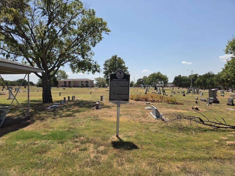
2. Princeton Cemetery Marker

Regionally, this marker is in the Prairies & Lakes Region and in the Dallas-Fort Worth Metropolitan Area. Globally, it is in North America, a Gulf of Mexico state, the Western Hemisphere, the Western World, and the Anglosphere. Historically, it finds itself in what was once New Spain, the Republic of Texas, one of the Confederate States of America, and the Antebellum South.
Other nearby markers. At least 8 other markers are within 7 miles of this marker, measured as the crow flies: Site of World War II Prisoner of War Camp (approx. 0.6 miles away); Van Winkle Cemetery (approx. 3.3 miles away); Altoga Cemetery (approx. 4.8 miles away); Pleasant Grove Cemetery (approx. 5.1 miles away); Stiff Chapel Cemetery (approx. 5.8 miles away); Old Settlers Park (approx. 6.1 miles away); Glass-Chapman Cemetery (approx. 6.3 miles away); Verona Methodist Church (approx. 6.4 miles away). Touch for a list and map
Photographed by James Hulse, September 4, 2026
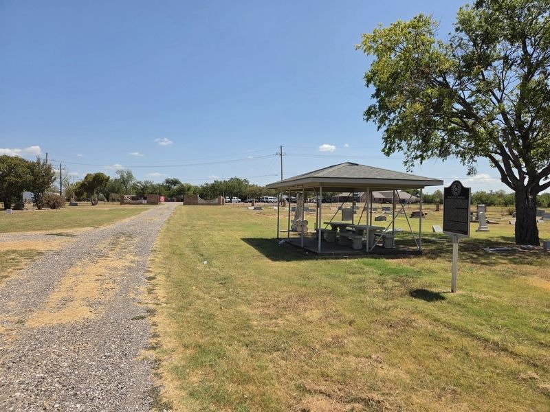
3. Princeton Cemetery Marker
The view looking back at the east entrance gate.
Credits. This page was last revised on September 4, 2026. It was originally submitted on September 4, 2026, by James Hulse of Medina, Texas. This page has been viewed 15 times since then. Photos: 1, 2, 3. submitted on September 4, 2026, by James Hulse of Medina, Texas.
