
Home Valley, Washington — The American West (Northwest)
The Sunken Forest
Photographed by Barry Swackhamer, June 12, 2026
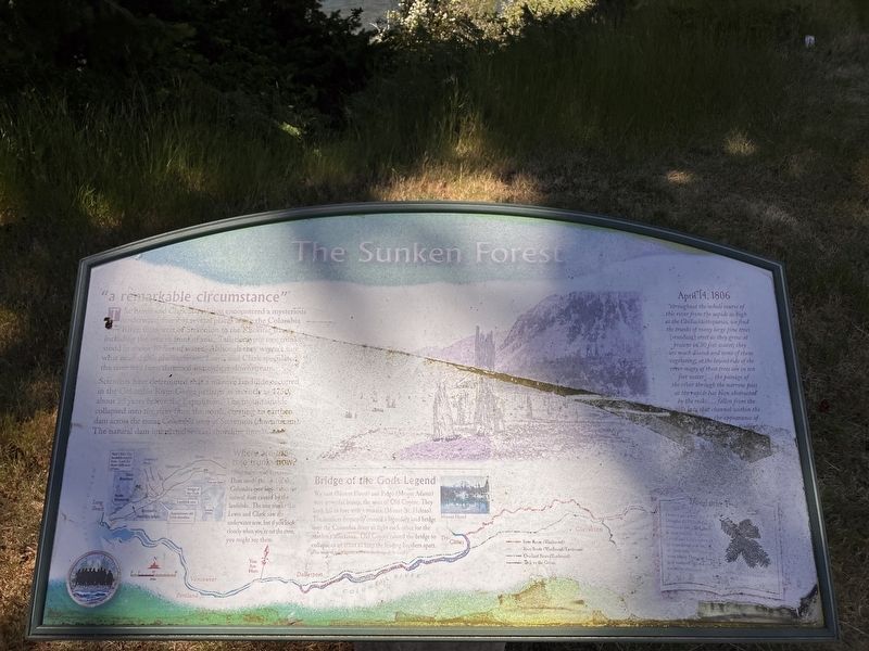
1. The Sunken Forest Marker
"a remarkable circumstance"
The Lewis and Clark Expedition encountered a mysterious underwater forest at several places along the Columbia River; from west of Stevenson to the Kackitat River including the area in front of you. Tall, decaying tree trunks stood in about 30 feet of water. Although they weren't sure what caused this phenomenon, Lewis and Clark speculated the river had been dammed somewhere down stream.
Scientists have determined that a massive land slide occurred in the Columbia River Gorge perhaps as recently as 1750, about 55 years before the expedition. The mountainside collapsed into the river from the north, creating an earthen dam across the entire Columbia west of Stevenson (downstream), The natural dam inundated several shoreline forests.
Bridge of the Gods Legend
Wy east (Mount Hood) and Pahto (Mount Adams) were powerful braves, the sons of Old Coyote. The both fell in love with a maiden (Mount St. Helens). The brothers frequently crossed a legendary land bridge over the Columbia River to fight each other for the maiden's affections. Old Coyote caused the bridge to collapse in an
this page online
(This is one of many legends related to the Bridge of the Gods.).
"throughout the whole course of this river from the rapids as high as the Cilluckkittequawa, we find the trunks of many large pine trees [standing] erect as they grew at present in 30 feet water; they are much doated and none of them vegetating; at the lowest tide of the river many of these trees are in ten feet water ... the passage of the river through the narrow pass at the rapids has been obsroctrd by the rocks ... fallen from the hills into that channel within the (missing) the appearance of (missing)
Erected by Washington Lewis & Clark Expedition Bicentennial Commission.
Topics. This historical marker is listed in these topic lists: Exploration • Natural Features. A significant historical date for this entry is April 14, 1806.
Location. 45° 42.514′ N,
Photographed by Barry Swackhamer, June 12, 2026
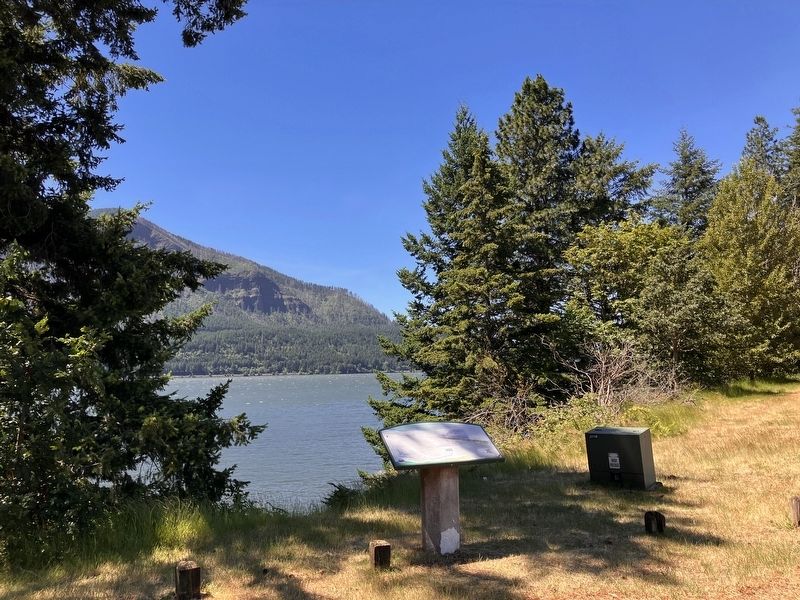
2. The Sunken Forest Marker

Regionally, this marker is in the American Lewis & Clark Corridor. Globally, it is in North America, the Pacific Rim, the Western Hemisphere, the Western World, and the Anglosphere.
Other nearby markers. At least 8 other markers are within 6 miles of this marker, measured as the crow flies: Construction of the Columbia River Highway (approx. 4.3 miles away in Oregon); Wind Mountain (approx. 5.1 miles away); Bretz Floods (approx. 5.2 miles away); Steamboats Docked at Stevenson (approx. 5.3 miles away); "The Great Shoote" (approx. 5.3 miles away); Stevenson Washington (approx. 5.3 miles away); "White Lightning" In The Back Alley (approx. 5.3 miles away); "Stump Lifter" Elected First Mayor (approx. 5.3 miles away).
Credits. This page was last revised on September 4, 2026. It was originally submitted on September 4, 2026, by Barry Swackhamer of Brentwood, California. Photos: 1, 2. submitted on September 4, 2026, by Barry Swackhamer of Brentwood, California.
