Wantirna South in Knox, Victoria, Australia — Oceania
The Opperman Trails
Photographed by Dean Barton-Ancliffe, July 26, 2026
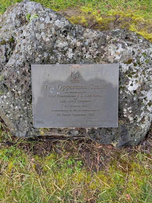
1. The Opperman Trails Marker
The Opperman Trails
were officially named by
Chief Commissioner J. L. (Lyn) Davies
and
Lady Mavys Opperman
on 3 November 1996
to commemorate the life and cycling career of
Sir Hubert Opperman, OBE
Chief Executive Officer
Chief Commissioner J. L. (Lyn) Davies
Commissioner Douglas Geekie
Commissioner Patricia Cotton
Erected 1996 by Knox City Council.
Topics. This historical marker is listed in these topic lists: Parks & Recreational Areas • Sports. A significant historical date for this entry is November 3, 1996.
Location. 37° 52.041′ S, 145° 14.478′ E. Marker is in Wantirna South, Victoria, in Knox. It is on Blind Creek Trail 0.2 kilometers east of Stud Road (Victoria Route 9), on the right when traveling north. Touch for map. Marker is at or near this postal address: Burwood Highway, Wantirna South VIC 3152, Australia. Touch for directions.

Regionally, it is in Oceania, in Australasia, in the Pacific Ocean, in South Pacific, on the Pacific Rim, in the Western World, and in the Anglosphere. Historically, it finds itself in what was once a British colony.
Other nearby markers. At least 8
this page online
Also see . . . Explore the Oppy Route. State Government Victoria Pamphlet<blockquote>The Oppy Route is a tribute to one of Australia’s greatest cyclists, Sir Hubert Opperman, who lived and died in the City of Knox. He enthralled Australians during the late 1920s with his strength and stamina in bicycle riding.
In fact, “Oppy”, as he was better known, was well known for once riding 1000kms in just over 24 hours. A very impressive effort that would require you to complete 40 laps of the Oppy Route 2 without stopping!
A great advocate for physical health, Oppy sadly passed away in 1996 at the age of 92 but his legacy lives on in
Photographed by Dean Barton-Ancliffe, July 26, 2026
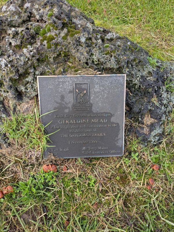
2. Geraldine Mead Marker
Photographed by Dean Barton-Ancliffe, July 26, 2026
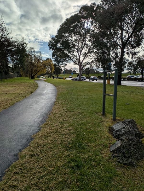
3. The Opperman Trails Marker along Blind Creek Trail
Credits. This page was last revised on September 21, 2026. It was originally submitted on September 4, 2026, by Dean Barton-Ancliffe of Rowville, Victoria. This page has been viewed 11 times since then. Photos: 1, 2, 3. submitted on September 4, 2026, by Dean Barton-Ancliffe of Rowville, Victoria. • Andrew Ruppenstein was the editor who published this page.
