
Southwest Portland in Multnomah County, Oregon — The American West (Northwest)
November 23, 1963
| — | The Oregonian | — |
Photographed by Ian Lefkowitz, June 26, 2026
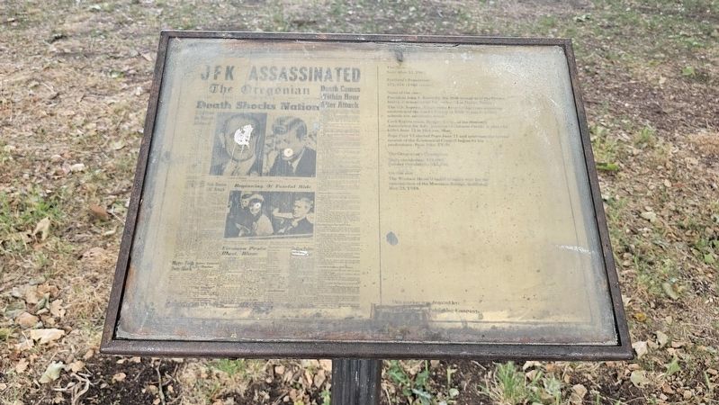
1. November 23, 1963 Marker
November 23, 1963.
Portland’s Population:
372,676 (1960 census).
News of the year:
President John F. Kennedy, the 36th president of the United States, is assassinated November 22 in Dallas, Texas. The U.S. Supreme Court rules June 17 that laws requiring recitation of the Lord’s Prayer or Bible verses in public schools are unconstitutional. Civil Rights crisis: Medgar Evers, of the National Association for Advancement of Colored People, is shot and killed June 12 in Jackson, Miss. Pope Paul VI elected Pope June 21 and convenes the second session of the Ecumenical Council begun by his predecessor, Pope John XXIII.
The Oregonian’s Circulation:
Daily circulation: 219,080.
Sunday circulation: 357,586.
On this site:
The Windsor Hotel is razed to make way for the construction of the Morrison Bridge, dedicated May 25, 1958.
This marker was donated by:
The Oregonian Publishing Company.
Erected 1983 by The Oregonian.
Topics. This historical marker is listed in these topic lists: Communications • Notable Events. A significant historical date for this entry is November 22, 1963.
Location. 45° 31.069′ N, 122° 40.401′ W. Marker is in Portland,
this page online

Regionally, this marker is in Oregon’s Columbia River Gorge and in the Willamette Valley. It is also on the American Pacific Coast, in the Pacific Northwest, and in the Lewis & Clark Corridor. Globally, it is in North America, on the Ring of Fire, in the Pacific Rim, in the Western Hemisphere, in the Western World, and in the Anglosphere.
Other nearby markers. At least 8 other markers are within walking distance of this marker: November 11, 1918 (here, next to this marker); August 15, 1945 (here, next to this marker); December 4, 1850 (here, next to this marker); July 21, 1969 (here, next to this marker); May 19, 1980 (here, next to this marker); First Issue of The Oregonian (here, next to this marker); Centennial Block, 1878 (about 500 feet away, measured in a direct line);
Photographed by Ian Lefkowitz, June 26, 2026
2. November 23, 1963 Marker
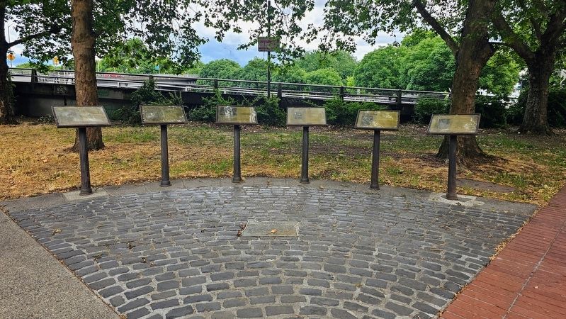
This marker is the third from the right in Oregonian Printing Press Park.
Credits. This page was last revised on September 5, 2026. It was originally submitted on September 4, 2026, by Ian Lefkowitz of New York, New York. This page has been viewed 5 times since then. Photos: 1, 2. submitted on September 4, 2026, by Ian Lefkowitz of New York, New York. • Andrew Ruppenstein was the editor who published this page.
