Conroe in Montgomery County, Texas — The American South (West South Central)
Lake Conroe Dam and Reservoir
Photographed by James Hulse, September 5, 2026
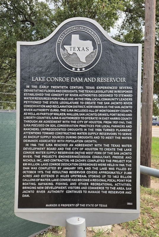
1. Lake Conroe Dam and Reservoir Marker
In the early twentieth century, Texas experienced several devastating floods and droughts. The Texas Legislature in response established the concept of river authorities designed to steward water resources for public use. In the 1930s, local community leaders petitioned the State Legislature to create the San Jacinto River Conservation and Reclamation District, now known as the San Jacinto River Authority (SJRA). The SJRA included all of Montgomery County, as well as parts of Walker, Waller, San Jacinto, Grimes, Fort Bend and Liberty counties. SJRA is authorized to operate in east Harris County through an agreement with the City of Houston. From 1937–1941, the SJRA focused on soil conservation practices for local farmers and ranchers. Unprecedented droughts in the 1950s turned planners’ attentions toward constructing water supply reservoirs to serve as backup supply sources during droughts and to meet the water demands associated with population growth.
In 1968, the SJRA reached an agreement with the Texas Water Development Board and the City of Houston to create the Lake Conroe Water Supply Reservoir on the West Fork of the San Jacinto River. The project’s engineering design consultant, Freese and Nichols, Inc., and contractor, HB Zachry, completed the project for $30 million. Lake Conroe dedication ceremonies were held in 1969. The dam was completed by January 1973, and the lake was filled by October 1973. The resulting reservoir covers approximately 21,000 acres and extends 21 miles upstream, storing up to 140.2 billion gallons of water. Lake Conroe has become a regional focal point for boating, kayaking, fishing, and other recreational activities, bringing new development, visitors and commerce to the area. San Jacinto River Authority continues to manage the reservoir and dam.
Erected 2024 by Texas
this page online
Topics. This historical marker is listed in these topic lists: Disasters • Waterways & Vessels. A significant historical month for this entry is January 1973.
Location. 30° 21.179′ N, 95° 34.764′ W. Marker is in Conroe, Texas, in Montgomery County. It is at the intersection of U.S. 105 and Sandy Beach Drive (Private), on the right when traveling west on U.S. 105. The marker is located in a small parking lot near the Coast Guard Auxiliary building. Touch for map. Marker is at or near this postal address: 14336 Hwy 105 W, Conroe TX 77304, United States of America. Touch for directions.

Regionally, this marker is in the Houston Metropolitan Area. It is also on the American Gulf Coast. Globally, it is in North America, a Gulf of Mexico state, the Western Hemisphere, the Western World, and the Anglosphere. Historically, it finds itself in what was once New Spain, the Republic of Texas, one of the Confederate States of America, and the Antebellum South.
Other nearby markers. At least 8 other markers are within 7 miles of this marker, measured as the crow flies: West Fork of The San Jacinto River
Photographed by James Hulse, September 5, 2026
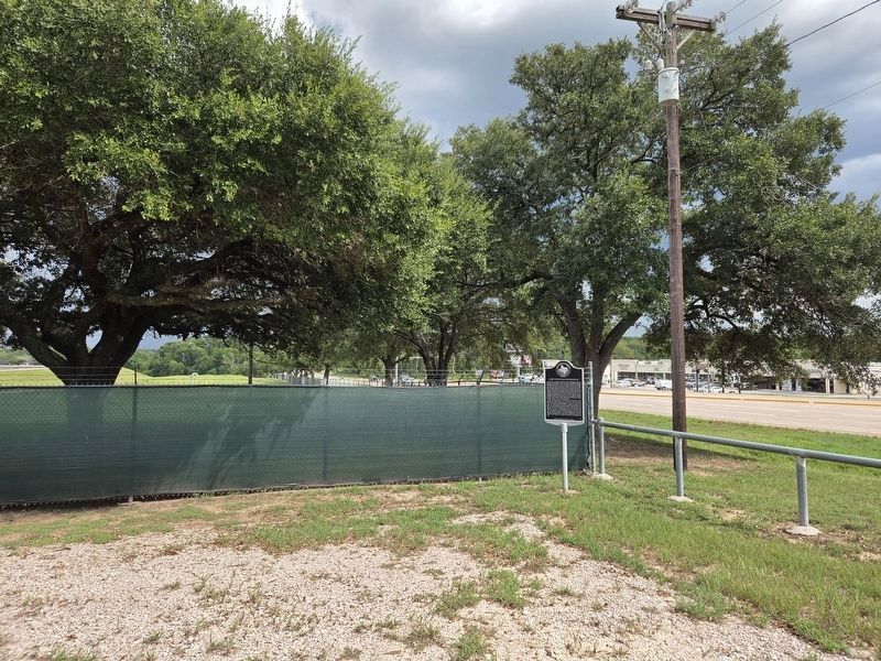
2. Lake Conroe Dam and Reservoir Marker
The view of the marker with Hwy 105 in the background.
More about this marker. The marker was dedicated on April 16, 2026.
Photographed by James Hulse, September 5, 2026
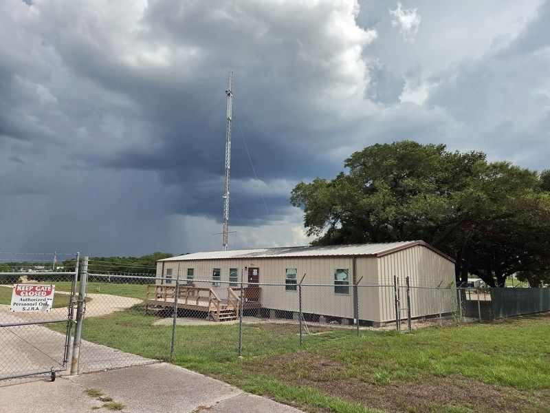
3. Coast Guard Auxiliary Building near marker
Credits. This page was last revised on September 6, 2026. It was originally submitted on September 5, 2026, by James Hulse of Medina, Texas. This page has been viewed 104 times since then. Photos: 1, 2, 3. submitted on September 6, 2026, by James Hulse of Medina, Texas.
