Near Kerens in Navarro County, Texas — The American South (West South Central)
Bazette Baptist Church and Cemetery
Photographed by Jeff Leichsenring, August 31, 2026
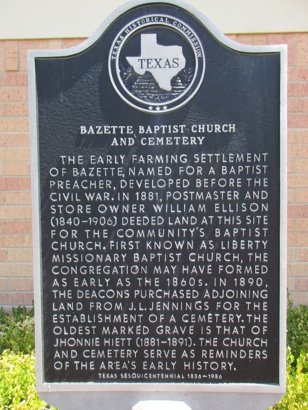
1. Bazette Baptist Church & Cemetery Marker
The early farming settlement of Bazette, named for a Baptist preacher, developed before the Civil War. In 1881, postmaster and store owner William Ellison (1840-1906) deeded land at this site for the community's Baptist church. First known as Liberty Missionary Baptist Church, the congregation may have formed as early as the 1860s. In 1890, the deacons purchased adjoining land from J. L. Jennings for the establishment of a cemetery. The oldest marked grave is that of Jhonnie Hiett (1881-1891). The church and cemetery serve as reminders of the area's early history.
Erected 1986 by Texas Historical Commission. (Marker Number 8272.)
Topics. This historical marker is listed in these topic lists: Cemeteries & Burial Sites • Religion & Religious Structures. A significant historical year for this entry is 1881.
Location. 32° 10.833′ N, 96° 15.757′ W. Marker is near Kerens, Texas, in Navarro County. It is on Independence School Road (County Road 3090) 0.1 miles south of Morgan Springs Rd (County Road 3120), on the left when traveling south. Touch for map. Marker is at or near this postal
this page online

Regionally, this marker is in the Prairies & Lakes Region. It is also in the American South. Globally, it is in North America, a Gulf of Mexico state, the Western Hemisphere, the Western World, and the Anglosphere. Historically, it finds itself in what was once New Spain, the Republic of Texas, and one of the Confederate States of America.
Other nearby markers. At least 8 other markers are within 10 miles of this marker, measured as the crow flies: Prairie Point Church and Cemetery (approx. 1.1 miles away); The Powell Oil Field (approx. 5.7 miles away); Roane Baptist Church (approx. 6.9 miles away); Providence Baptist Church of Tool (approx. 8 miles away); Durham Avant (approx. 8.1 miles away); William P. Avant (approx. 8.1 miles away); Chatfield United Methodist Church (approx. 9½ miles away); Last Review Of The Confederacy (approx. 9½ miles away).

Photographed by Jeff Leichsenring, August 31, 2026
2. Bazette Baptist Church, Cemetery and marker

Photographed by Jeff Leichsenring, August 31, 2026
3. Bazette Baptist Church & Cemetery Marker
Credits. This page was last revised on September 7, 2026. It was originally submitted on September 1, 2026, by Jeff Leichsenring of Garland, Texas. This page has been viewed 24 times since then. Last updated on September 6, 2026, by Joe Lotz of Flower Mound, Texas. Photos: 1, 2, 3. submitted on September 1, 2026, by Jeff Leichsenring of Garland, Texas. • James Hulse was the editor who published this page.
