Near Waxahachie in Ellis County, Texas — The American South (West South Central)
Smith Cemetery
Established in 1852
Photographed by Craig Baker, April 6, 2024
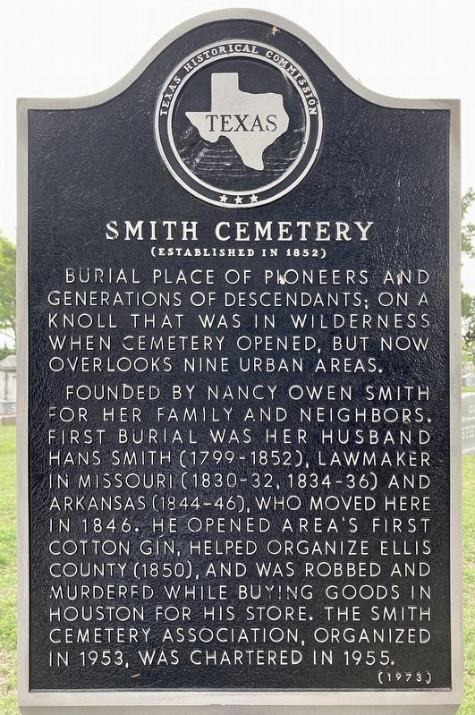
1. Smith Cemetery Marker
Burial place of pioneers and generations of descendants; on a knoll that was in wilderness when cemetery opened, but now overlooks nine urban areas.
Founded by Nancy Owen Smith for her family and neighbors. First burial was her husband Hans Smith (1799-1852), lawmaker in Missouri (1830-32, 1834-36) and Arkansas (1844-46), who moved here in 1846. He opened area's first cotton gin, helped organize Ellis County (1850), and was robbed and murdered while buying goods in Houston for his store. The Smith Cemetery Association, organized in 1953, was chartered in 1955.
Erected 1973 by Texas Historical Commission. (Marker Number 15483.)
Topics. This historical marker is listed in these topic lists: Cemeteries & Burial Sites • Government & Politics. A significant historical year for this entry is 1846.
Location. 32° 26.505′ N, 96° 44.341′ W. Marker is near Waxahachie, Texas, in Ellis County. It is on Smith Cemetery Road 0.2 miles west of Rutherford Road, on the left when traveling west. Touch for map. Marker is at or near this postal address: 300 Smith Cemetery Rd, Waxahachie TX 75165, United States of America. Touch for directions.

Regionally, this marker is in the Prairies & Lakes Region and in the Dallas-Fort Worth Metropolitan Area. Globally, it is in North America, a Gulf of Mexico state, the Western Hemisphere, the Western World, and the Anglosphere. Historically, it finds itself in what was once New Spain, the Republic of Texas, and one of the Confederate States of America.
Other nearby markers. At least 8 other markers are within 5 miles of this marker, measured as the crow flies: Rutherford's Crossing Bridge (approx. half a mile away); Site of Grady School (approx. one mile away); Rockett Christian Church (approx. 2.4 miles away); Graves Cemetery (approx. 2.6 miles away); Bell's Chapel Cemetery
this page online
Photographed by Craig Baker, April 6, 2024
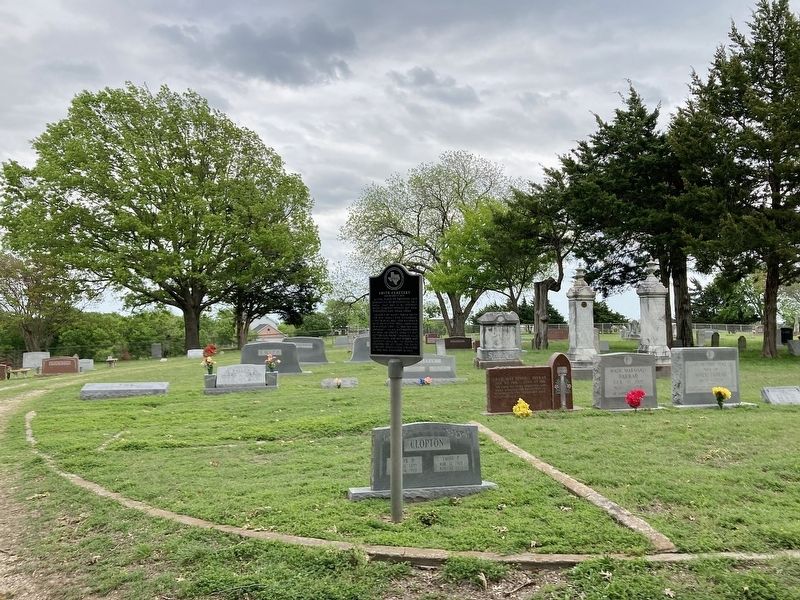
2. Smith Cemetery and Marker
Photographed by Craig Baker, April 6, 2024
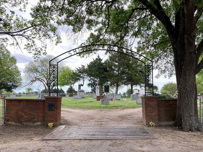
3. Smith Cemetery and Marker
Credits. This page was last revised on September 7, 2026. It was originally submitted on April 8, 2024, by Craig Baker of Sylmar, California. This page has been viewed 500 times since then and 116 times this year. Last updated on September 6, 2026, by Joe Lotz of Flower Mound, Texas. Photos: 1, 2, 3. submitted on April 8, 2024, by Craig Baker of Sylmar, California. • James Hulse was the editor who published this page.
