Allen in Collin County, Texas — The American South (West South Central)
Corn Sheller
Lynge & Stacy Grain Co.
| — | ca 1935-1957 | — |
Photographed by James Hulse, September 4, 2026
1. Corn Sheller Marker
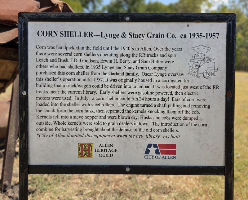
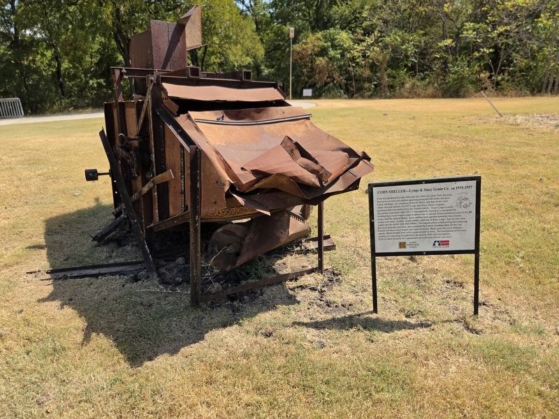
Corn was handpicked in the field until the 1940’s in Allen. Over the years there were several corn shellers operating along the RR tracks and spur; Leach and Bush, J.D. Goodson, Erwin H. Berry, and Sam Butler were others who had shellers. In 1935 Lynge and Stacy Grain Company purchased this corn sheller from the Garland family. Oscar Lynge oversaw this sheller’s operation until 1957. It was originally housed in a corrugated tin building that a truck/wagon could be driven into to unload. It was located just west of the RR tracks, near the current library. Early shellers were gasoline powered, then electric motors were used. In July, a corn sheller could run 24 hours a day! Ears of corn were loaded into the sheller with steel rollers. The engine turned a shaft pulling and removing the shuck from the corn husk, then separated the kernels knocking them off the cob. Kernels fell into a sieve hopper and were blown dry. Husks and cobs were dumped outside. Whole kernels were sold to grain dealers in town. The introduction of the corn combine for harvesting brought about the demise of the old corn shellers.
*City of Allen donated
this page online
Erected by City of Allen and Allen Heritage Guild.
Topics. This historical marker is listed in this topic list: Agriculture. A significant historical year for this entry is 1935.
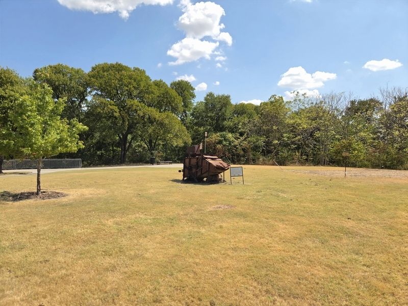
Location. 33° 6.297′ N, 96° 39.843′ W. Marker is in Allen, Texas, in Collin County. It is on Saint Mary Drive 0.1 miles N Cedar Drive, on the right when traveling east. The marker is located on the grounds of the Allen Heritage Village. Touch for map. Marker is at or near this postal address: 460 St Mary Dr, Allen TX 75002, United States of America. Touch for directions.

Regionally, this marker is in the Prairies & Lakes Region and in the Dallas-Fort Worth Metropolitan Area. Globally, it is in North America, a Gulf of Mexico state, the Western Hemisphere, the Western World, and the Anglosphere. Historically, it finds itself in what was once New Spain, the Republic of Texas, one of the Confederate States of America, and the Antebellum South.
Other nearby markers. At least 8 other markers are within walking distance of this marker: Farm Animals (a few steps from this marker); Agriculture in Allen
Photographed by James Hulse, September 4, 2026
2. Corn Sheller Marker
Photographed by James Hulse, September 4, 2026
3. Corn Sheller Marker
Credits. This page was last revised on September 6, 2026. It was originally submitted on September 6, 2026, by James Hulse of Medina, Texas. This page has been viewed 13 times since then. Photos: 1, 2, 3. submitted on September 6, 2026, by James Hulse of Medina, Texas.
