
Altavista in Campbell County, Virginia — The American South (Mid-Atlantic)
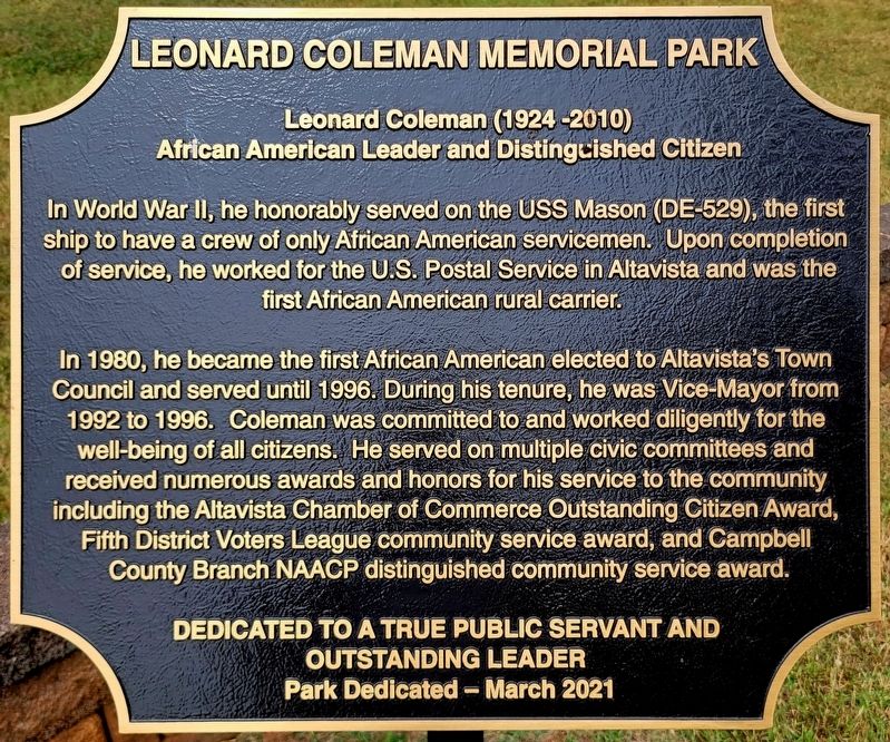
Leonard Coleman Memorial Park
Photographed by C. Ryan Dodson, September 5, 2026
1. Leonard Coleman Memorial Park Marker
African American Leader and Distinguished Citizen
In World War II he honorably served on the USS Mason (DE-529), the first ship to have a crew of only African American servicemen. Upon completion of service, he worked for the U.S. Postal Serice in Altavista and was the first African American rural carrier.
In 1980, he became the first African American elected to Altavista's Town Council and served until 1996. During his tenure, he was Vice-Mayor from 1992 to 1996. Coleman was committed to and worked diligently for the well-being of all citizens. He served on multiple civic committees and received numerous awards and honors for his service to the community including the Altavista Chamber of Commerce Outstanding Citizen Award, Fifth District Voters League community service award, and Campbell County Branch NAACP distinguished community service award.
Dedicated to a true public servant and outstanding leader
Park Dedicated - March 2021
Erected 2021 by Town of Altavista.
Topics. This historical marker is listed in these topic lists: African Americans • Charity & Public Work
this page online
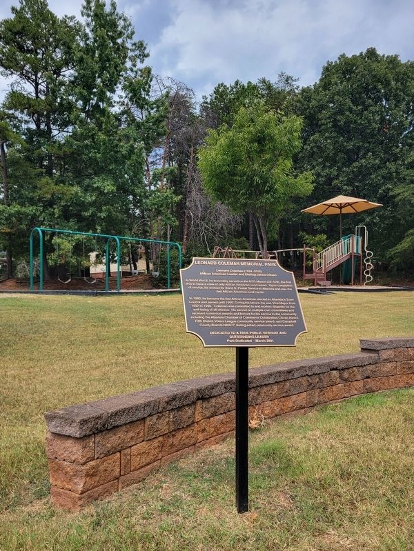
Location. 37° 7.258′ N, 79° 17.59′ W. Marker is in Altavista, Virginia, in Campbell County. It can be reached from the intersection of School Street and 15th Street, on the right when traveling west. The Marker is located in Leonard Coleman Memorial Park. Touch for map. Marker is in this post office area: Altavista VA 24517, United States of America. Touch for directions.

Regionally, this marker is in the Piedmont and in Central Virginia. It is also in the American South and specifically in the Upper South. Globally, it is in North America, the Western Hemisphere, the Western World, and the Anglosphere. Historically, it finds itself in what was once the territory of the Mississippian Culture, one of the original Thirteen Colonies, one of the Confederate States of America, and the Antebellum South.
Other nearby markers. At least 8 other markers are within 2 miles of this marker, measured as the crow flies: War Memorial Building (approx. half a mile away); Route of Old "97" (approx. 0.6 miles away); War Memorial Park (approx.
Photographed by C. Ryan Dodson, September 5, 2026
2. Leonard Coleman Memorial Park Marker
Photographed by C. Ryan Dodson, September 5, 2026
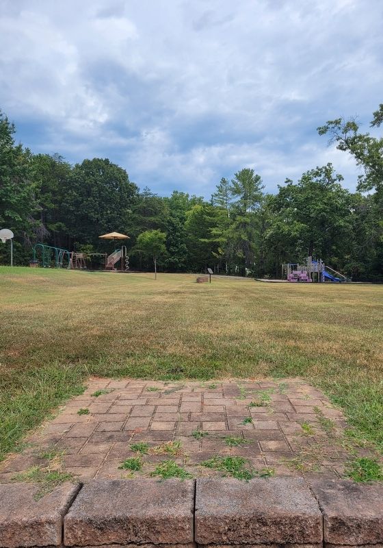
3. Leonard Coleman Memorial Park Marker
Photographed by C. Ryan Dodson, September 5, 2026
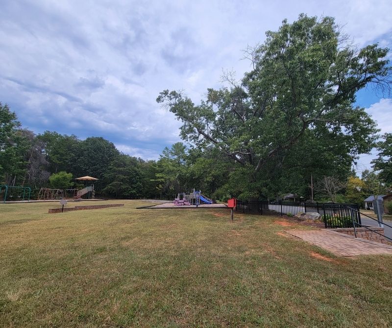
4. Leonard Coleman Memorial Park
Credits. This page was last revised on September 11, 2026. It was originally submitted on September 6, 2026, by C. Ryan Dodson of Danville, Virginia. This page has been viewed 9 times since then. Photos: 1, 2, 3, 4. submitted on September 6, 2026, by C. Ryan Dodson of Danville, Virginia. • Andrew Ruppenstein was the editor who published this page.
