De Leon in Comanche County, Texas — The American South (West South Central)
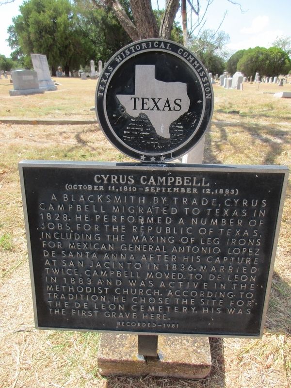
Cyrus Campbell
(October 11, 1810 - September 12, 1883)
Photographed by Jeff Leichsenring, September 6, 2026
1. Cyrus Campbell Marker
A blacksmith by trade, Cyrus Campbell migrated to Texas in 1828. He performed a number of jobs for the Republic of Texas, including the making of leg irons for Mexican General Antonio Lopez de Santa Anna after his capture at San Jacinto in 1836. Married twice, Campbell moved to De Leon in 1883 and was active in the Methodist Church. According to tradition, he chose the site for the De Leon Cemetery. His was the first grave here.
Erected 1981 by Texas Historical Commission. (Marker Number 1139.)
Topics. This historical marker is listed in these topic lists: Cemeteries & Burial Sites • War, Texas Independence. A significant historical year for this entry is 1828.
Location. 32° 6.607′ N, 98° 32.677′ W. Marker is in De Leon, Texas, in Comanche County. It is on W Reynosa Ave east of S Cato St. Touch for map. Marker is in this post office area: De Leon TX 76444, United States of America. Touch for directions.

Regionally, this marker is in Big Country. Globally, it is in North America, a Gulf of Mexico state, the Western Hemisphere, the Western World, and the Anglosphere. Historically, it finds itself in what
this page online
Other nearby markers. At least 8 other markers are within 6 miles of this marker, measured as the crow flies: De Leon World War II Memorial (approx. 0.4 miles away); Laura Valenta (approx. 0.4 miles away); Texas Central Railroad (approx. half a mile away); De Leon Peanut Company (approx. half a mile away); Old De Leon Cemetery (approx. 1.1 miles away); Frances Marie Sparks Brown (approx. 1.1 miles away); Community of Comyn-Theney (approx. 5 miles away); Round Grove Baptist Church (approx. 5.4 miles away). Touch for a list and map of all markers in De Leon.
Photographed by Jeff Leichsenring, September 6, 2026
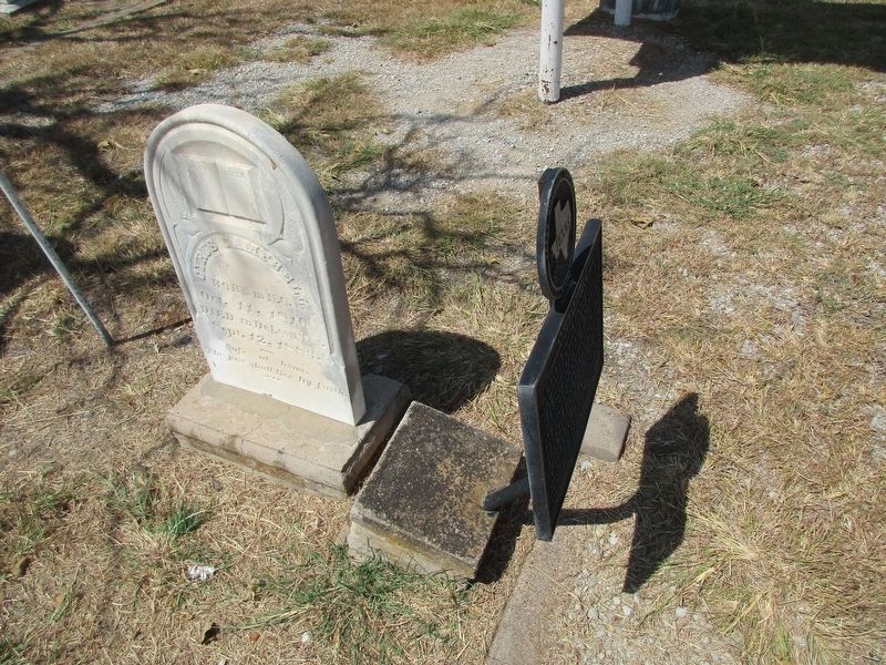
2. Cyrus Campbell Marker and head stone
Photographed by Jeff Leichsenring, September 6, 2026
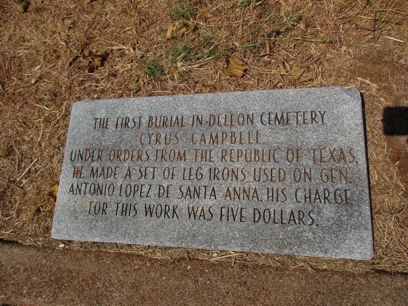
3. Cyrus Campbell informational sign at foot of grave
Photographed by Jeff Leichsenring, September 6, 2026
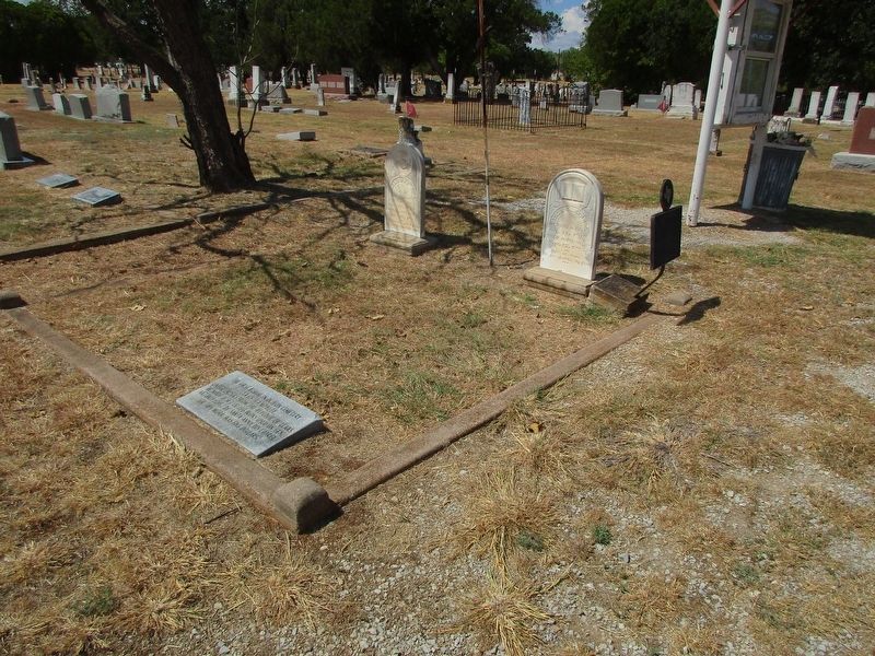
4. Cyrus Campbell Marker

Photographed by Jeff Leichsenring, September 6, 2026
5. Cyrus Campbell Marker
Credits. This page was last revised on September 7, 2026. It was originally submitted on September 6, 2026, by Jeff Leichsenring of Garland, Texas. This page has been viewed 10 times since then. Photos: 1, 2, 3, 4, 5. submitted on September 6, 2026, by Jeff Leichsenring of Garland, Texas. • James Hulse was the editor who published this page.
