
Near De Leon in Comanche County, Texas — The American South (West South Central)
Downing Cemetery
Photographed by Jeff Leichsenring, September 6, 2026
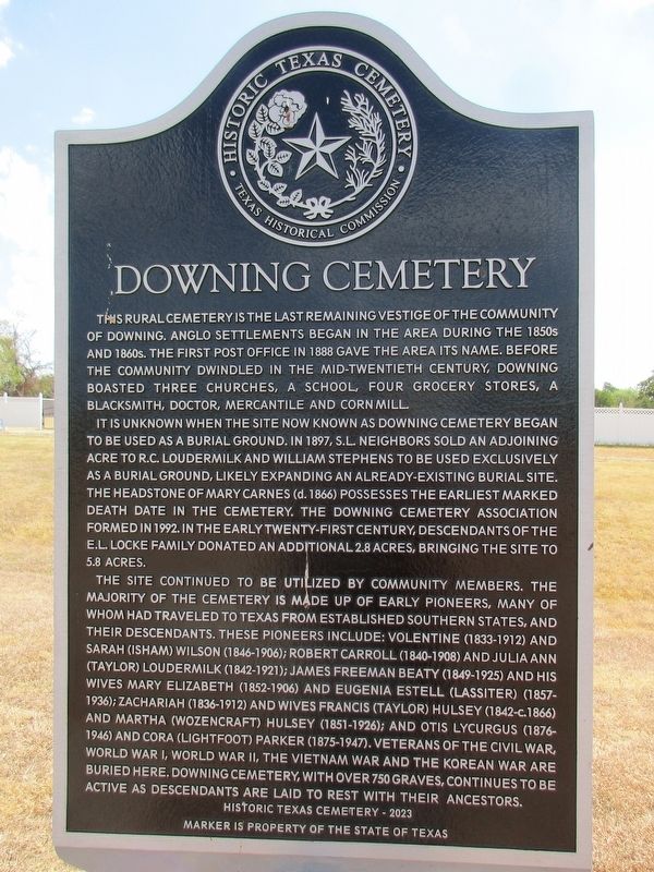
1. Downing Cemetery Marker
This rural cemetery is the last remaining vestige of the Community of Downing. Anglo settlements began in the area during the 1850s and 1860s. The first post office in 1888 gave the area its name. Before the community dwindled in the mid-twentieth century, Downing boasted three churches, a school, four grocery stores, a blacksmith, doctor, mercantile and corn mill.
It is unknown when the site now known as Downing Cemetery began to be used as a burial ground. In 1897, S.L. Neighbors sold an adjoining acre to R.C. Loudermilk and William Stephens to be used exclusively as a burial ground, likely expanding an already-existing burial site. The headstone of Mary Carnes (d. 1866) possesses the earliest marked death date in the cemetery. The Downing Cemetery Association formed in 1992. In the early twenty-first century, descendants of the E.L. Locke family donated an additional 2.8 acres, bringing the site to 5.8 acres.
The site continued to be utilized by community members. The majority of the cemetery is made up of early pioneers, many of whom had traveled to Texas from established southern states, and their
this page online
Erected 2023 by Texas Historical Commission. (Marker Number 24154.)
Topics. This historical marker is listed in this topic list: Cemeteries & Burial Sites. A significant historical year for this entry is 1888.
Location. 32° 1.037′ N, 98° 33.274′ W. Marker is near De Leon, Texas, in Comanche County. It is on Farm to Market Road 2318 south of State Highway 16, on the right when traveling south. Touch for map. Marker
Photographed by Jeff Leichsenring, September 6, 2026
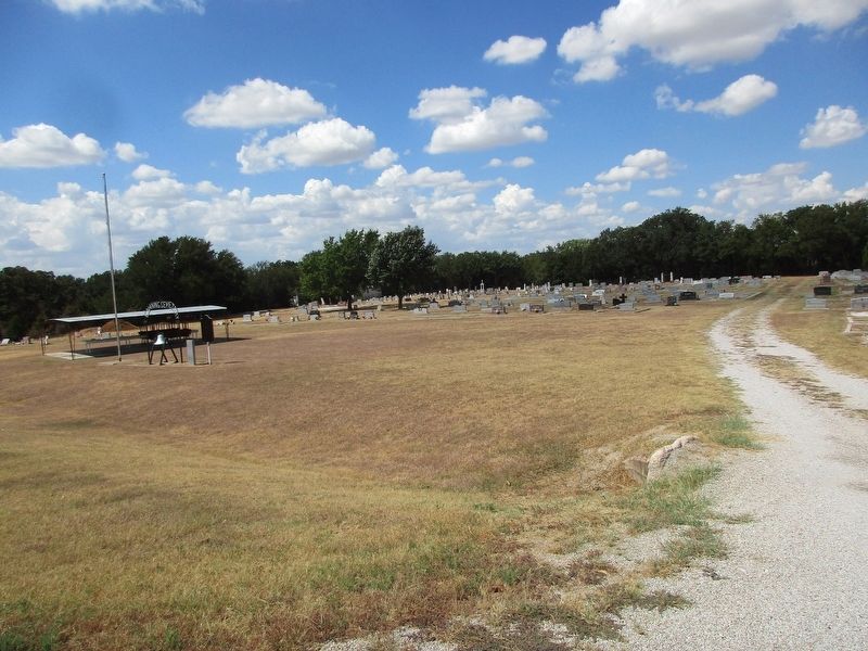
2. Downing Cemetery and marker

Regionally, this marker is in Big Country. Globally, it is in North America, a Gulf of Mexico state, the Western Hemisphere, the Western World, and the Anglosphere. Historically, it finds itself in what was once New Spain, the Comanchería, the Republic of Texas, and one of the Confederate States of America.
Other nearby markers. At least 8 other markers are within 7 miles of this marker, measured as the crow flies: Zion Hill Cemetery (approx. 2.8 miles away); Zion Hill Baptist Church (approx. 3.1 miles away); Site of Old Gill Farm (approx. 4.4 miles away); Community of Comyn-Theney (approx. 6.2 miles away); Hasse Community (approx. 6.4 miles away); Laura Valenta (approx. 6.4 miles away); De Leon World War II Memorial (approx. 6.4 miles away); Cyrus Campbell (approx. 6.4 miles away). Touch for a list and map of all markers in De Leon.
Photographed by Jeff Leichsenring, September 6, 2026
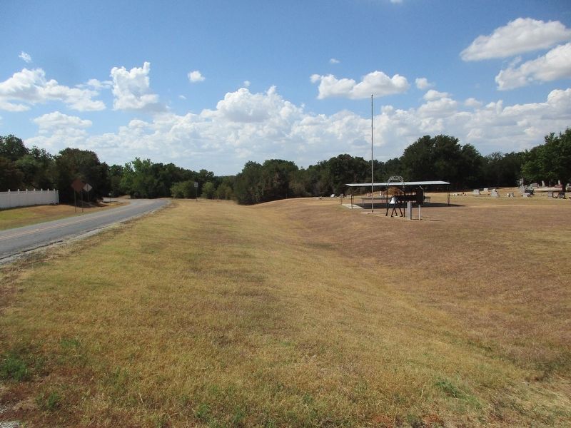
3. Downing Cemetery Marker
Credits. This page was last revised on September 7, 2026. It was originally submitted on September 6, 2026, by Jeff Leichsenring of Garland, Texas. This page has been viewed 6 times since then. Photos: 1, 2, 3. submitted on September 6, 2026, by Jeff Leichsenring of Garland, Texas. • James Hulse was the editor who published this page.
