Altavista in Campbell County, Virginia — The American South (Mid-Atlantic)
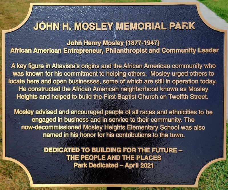
John H. Mosley Memorial Park
Photographed by C. Ryan Dodson, September 5, 2026
1. John H. Mosley Memorial Park Marker
African American Entrepreneur, Philanthropist and Community Leader
A key figure in Altavista's origins and the African American community who was known for his commitment to helping others. Mosley urged others to locate here and open businesses, some of which are still in operation today. He constructed the African American neighborhood known as Mosley Heights and helped to build the First Baptist Church on Twelfth Street.
Mosley advised and encouraged people of all races and ethnicities to be engaged in business and in service to their community. The now-decommissioned Mosley Heights Elementary School was also named in his honor for his contributions to the town.
Dedicated to building for the future - the people and the places
Park Dedicated - April 2021
Erected 2021 by Town of Altavista.
Topics. This historical marker is listed in these topic lists: African Americans • Industry & Commerce • Parks & Recreational Areas • Religion & Religious Structures. A significant historical year for this entry is 1914.
Location. 37° 7.342′ N, 79° 17.346′ W. Marker is in Altavista,
this page online

Regionally, this marker is in the Piedmont and in Central Virginia. It is also in the American South and specifically in the Upper South. Globally, it is in North America, the Western Hemisphere, the Western World, and the Anglosphere. Historically, it finds itself in what was once the territory of the Mississippian Culture, one of the original Thirteen Colonies, one of the Confederate States of America, and the Antebellum South.
Other nearby markers. At least 8 other markers are within walking distance of this marker: Leonard Coleman Memorial Park (approx. ¼ mile away); a different marker also named Leonard Coleman Memorial Park (approx. ¼ mile away); War Memorial Building (approx. 0.6 miles away); Route of Old "97" (approx. 0.7 miles away); War Memorial Park (approx. 0.7 miles away); Purple Heart Monument
Photographed by C. Ryan Dodson, September 5, 2026
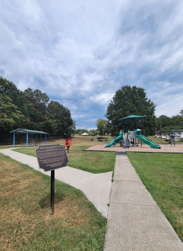
2. John H. Mosley Memorial Park Marker
Photographed by C. Ryan Dodson, September 5, 2026
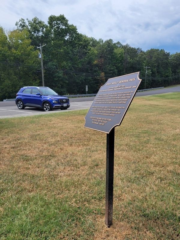
3. John H. Mosley Memorial Park Marker
Photographed by C. Ryan Dodson, September 5, 2026
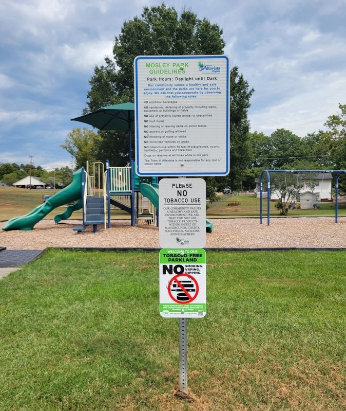
4. John H. Mosley Memorial Park
Credits. This page was last revised on September 15, 2026. It was originally submitted on September 6, 2026, by C. Ryan Dodson of Danville, Virginia. This page has been viewed 5 times since then. Photos: 1, 2, 3, 4. submitted on September 6, 2026, by C. Ryan Dodson of Danville, Virginia. • Bernard Fisher was the editor who published this page.
