Near Stephenville in Erath County, Texas — The American South (West South Central)
Ramsey Cemetery
Photographed by Jeff Leichsenring, September 6, 2026
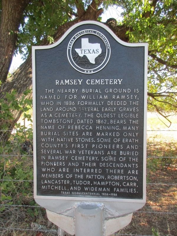
1. Ramsey Cemetery Marker
The nearby burial ground is named for William Ramsey, who in 1886 formally deeded the land around several early graves as a cemetery. The oldest legible tombstone, dated 1862, bears the name of Rebecca Henning. Many burial sites are marked only with native stones. Some of Erath County's first pioneers and several war veterans are buried in Ramsey Cemetery. Some of the pioneers and their descendants who are interred there are members of the Patton, Robertson, Lancaster, Tudor, Hampton, Carr, Mitchell, and Wideman families.
Erected 1986 by Texas Historical Commission. (Marker Number 4175.)
Topics. This historical marker is listed in this topic list: Cemeteries & Burial Sites. A significant historical year for this entry is 1886.
Location. 32° 13.893′ N, 98° 17.387′ W. Marker is near Stephenville, Texas, in Erath County. It is on West Lingleville Road (Farm to Market Road 8) 0.8 miles west of County Road 417, on the right when traveling west. Touch for map. Marker is at or near this postal address: 8325 W Lingleville Rd, Stephenville TX 76401, United States of America. Touch for directions.

Regionally,
this page online
Other nearby markers. At least 8 other markers are within 5 miles of this marker, measured as the crow flies: Corinth Cemetery (approx. one mile away); Audie Murphy Arena (approx. 3.6 miles away); President's House (approx. 4.4 miles away); John Tarleton (approx. 4½ miles away); Oak Dale Cemetery (approx. 4½ miles away); Brick Streets of Stephenville (approx. 4.6 miles away); Kiker's Gin (approx. 4.9 miles away); First Christian Church (approx. 4.9 miles away). Touch for a list and map of all markers in Stephenville.

Photographed by Jeff Leichsenring, September 6, 2026
2. Ramsey Cemetery Marker
Photographed by Jeff Leichsenring, September 6, 2026
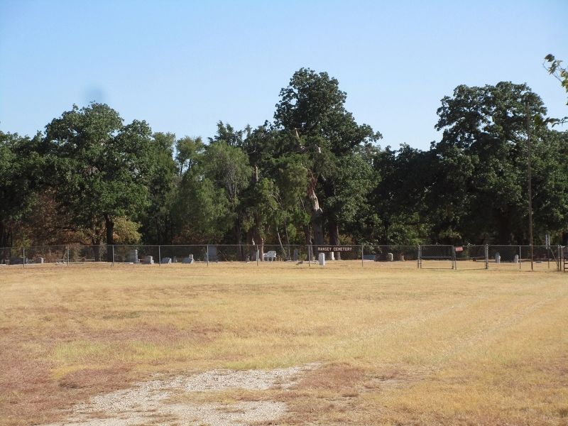
3. Ramsey Cemetery
Credits. This page was last revised on September 7, 2026. It was originally submitted on September 6, 2026, by Jeff Leichsenring of Garland, Texas. This page has been viewed 7 times since then. Photos: 1, 2, 3. submitted on September 6, 2026, by Jeff Leichsenring of Garland, Texas. • James Hulse was the editor who published this page.
