Fredericksburg, Virginia — The American South (Mid-Atlantic)
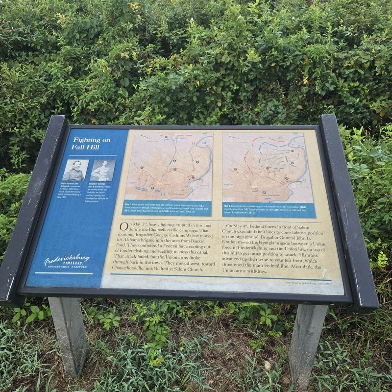
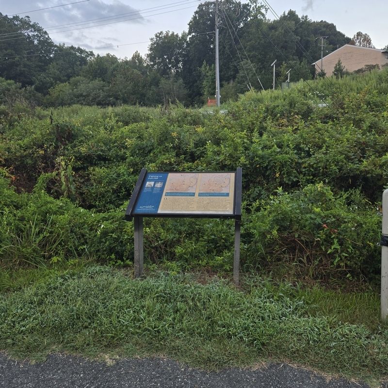
Fighting on Fall Hill
Photographed by Mike McKeown, September 7, 2026
1. Fighting on Fall Hill Marker
On May 3rd, heavy fighting erupted in this area during the Chancellorsville campaign. That morning, Brigadier General Cadmus Wilcox moved his Alabama brigade into this area from Banks' Ford. They confronted a Federal force coming out of Fredericksburg and seeking to cross this canal. That attack failed, but the Union army broke through back in the town. They moved west, toward Chancellorsville, until halted at Salem Church.
On May 4th, Federal forces in front of Salem Church extended their lines to consolidate a position on the high ground. Brigadier General John B. Gordon moved his Georgia brigade between a Union force in Fredericksburg and the Union line on top of this hill to get into a position to attack. His units advanced up the ravine to your left front, which threatened the main Federal line. After dark, the Union army withdrew.
(captions)
Major General John Sedgwick commanded the Union Sixth Corps, which fought the second battle of Fredericksburg in May 1863.
Brigadier General John B. Gordon had been an attorney before the Civil War. He had no military training, but developed an aptitude for field command.
Map 1: Wilcox arrives from Banks' Ford and confronts Federal forces at this canal (1&2) Union army breaks through at Fredericksburg and Confederates retreat down Lafayette Blvd (3&4). Wilcox delays Federals moving west (5&6). Battle at Salem Church (7).
Map 2: Confederate forces retake heights and isolate Federals in Fredericksburg (13&9). Confederates attack (1 0). Gordon advances up ravine (11). Union army falls back and crosses Rappahannock (12&13).
Erected by Fredericksburg
this page online
Topics. This historical marker is listed in this topic list: War, US Civil. A significant historical date for this entry is May 3, 1863.
Location. 38° 18.976′ N, 77° 29.158′ W. Marker is in Fredericksburg in , Virginia. It is at the intersection of Fall Hill Avenue (Virginia Route 639) and Normandy Avenue, on the left when traveling south on Fall Hill Avenue. Located along the Rappahannock Canal Path. Touch for map. Marker is at or near this postal address: 3219 Fall Hill Ave, Fredericksburg VA 22401, United States of America. Touch for directions.

Regionally, this marker is in the American South and specifically in the Upper South. Globally, it is in North America, the Western Hemisphere, the Western World, and the Anglosphere. Historically, it finds itself in what was once the territory of the Mississippian Culture, one of the original Thirteen Colonies, one of the Confederate States of America, and the Antebellum South.
Other nearby markers. At least 8 other markers are within walking distance of this marker: Confederate Defenses in December 1862 (within shouting distance of this marker); Rappahannock River Heritage Trail
Photographed by Mike McKeown, September 7, 2026
2. Fighting on Fall Hill Marker
Other markers no longer nearby. Confederate and Federal Defenses in May 1863 (was here, next to this marker but has been permanently removed); Civil War Defenses (was a few steps from this marker but has been replaced with another marker now near it); A Navigation Canal Becomes a Raceway (was a few steps from this marker but has been replaced with another marker now near it).
Also see . . . Second Battle of Fredericksburg (Wikipedia). (Submitted on September 7, 2026, by Mike McKeown of Baltimore, Maryland.)
Credits. This page was last revised on September 12, 2026. It was originally submitted on September 7, 2026, by Mike McKeown of Baltimore, Maryland. This page has been viewed 12 times since then. Photos: 1, 2. submitted on September 7, 2026, by Mike McKeown of Baltimore, Maryland. • Bernard Fisher was the editor who published this page.
