Goleta in Santa Barbara County, California — The American West (Pacific Coastal)
Gaviota Timeline: 3) Expeditions by Land
Photographed by Adam Margolis, May 31, 2026
1. Expeditions by Land Marker
Inscription.
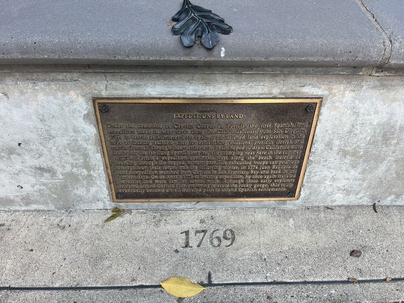
Under the command of Captain Gaspar de Portola, the first Spanish land
expedition made its way north along the California coast from San Diego in 1769, in search of Monterey Bay. Spain commissioned land exploration in the
hope of locating suitable sites for establishing missions, presidios (forts), and pueblos (towns). Through these settlements, Spain hoped to draw California more firmly into the far-flung Spanish empire. After camping near here in the summer of 1769, Portola's expedition continued west, along the beach instead of
threading through the rugged narrow pass. His exhausted troops camped near
here again on their return trek following winter. In 1774 Juan Bautista de
Anza's expedition marched from Gaviota to San Francisco Bay and back in just
fourteen days. On de Anza's 1776 colonizing expedition, he once again traveled
the easier and more familiar coastal route. Although these early explorers
detoured around Gaviota Pass preferring to avoid the rocky gorge, this route
eventually became a well traveled path to inland Spanish settlements.
Topics and series. This historical marker is listed in these
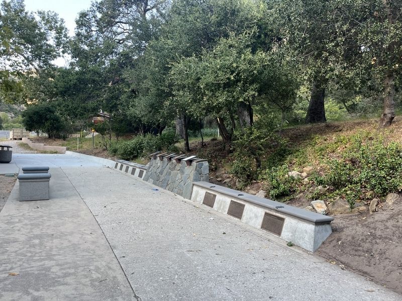
Location. 34° 29.111′ N, 120° 13.706′ W. Marker is in Goleta, California, in Santa Barbara County. It is on U.S. 101, on the right when traveling north. The marker is located in the northbound rest area. Touch for map. Marker is at or near this postal address: 1595 US-101, Goleta CA 93117, United States of America. Touch for directions.
Regionally, this marker is on the Central Coast, specifically on the Coast Ranges, and specifically in the Transverse Ranges. It is also on the American Pacific Coast. Globally, it is in North America, on the Ring of Fire, on the Pacific Rim, in the Western Hemisphere, in the Western World, and in the Anglosphere. Historically, it finds itself in what was once New Spain and also Mexico’s Alta California.
Credits. This page was last revised on September 17, 2026. It was originally submitted on September 7, 2026, by Adam Margolis of Mission Viejo, California. This page has been viewed 15 times since then. Photos:1, 2. submitted on September 7, 2026, by Adam Margolis of Mission Viejo, California. • Andrew Ruppenstein was the editor who published this page.