Near Eustace in Henderson County, Texas — The American South (West South Central)
Goshen Cemetery
Photographed by Jeff Leichsenring, September 7, 2026
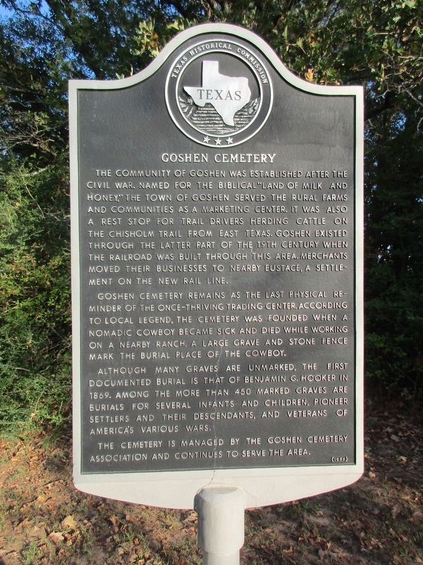
1. Goshen Cemetery Marker
The community of Goshen was established after the Civil War. Named for the Biblical "land of milk and honey," the town of Goshen served the rural farms and communities as a marketing center. It was also a rest stop for trail drivers herding cattle on the Chisholm Trail from East Texas. Goshen existed through the latter part of the 19th century when the railroad was built through this area. Merchants moved their businesses to nearby Eustace, a settlement on the new rail line.
Goshen Cemetery remains as the last physical reminder of the once-thriving trading center. According to local legend, the cemetery was founded when a nomadic cowboy became sick and died while working on a nearby ranch. A large grave and stone fence mark the burial place of the cowboy.
Although many graves are unmarked, the first documented burial is that of Benjamin G. Hooker in 1869. Among the more than 450 marked graves are burials for several infants and children, pioneer settlers and their descendants, and veterans of America's various wars.
The cemetery is managed by the Goshen Cemetery Association and continues to serve the area.
Erected 1996
this page online
Topics. This historical marker is listed in these topic lists: Cemeteries & Burial Sites • Settlements & Settlers. A significant historical year for this entry is 1869.
Location. 32° 21.187′ N, 96° 0.791′ W. Marker is near Eustace, Texas, in Henderson County. It is on County Road 2938 0.1 miles east of County Road 2816, on the left when traveling west. Touch for map. Marker is in this post office area: Eustace TX 75124, United States of America. Touch for directions.

Regionally, this marker is in the American South and in the Piney Woods. Globally, it is in North America, a Gulf of Mexico state, the Western Hemisphere, the Western World, and the Anglosphere. Historically, it finds itself in what was once New Spain, the Republic of Texas, one of the Confederate States of America, and the Antebellum South.
Other nearby markers. At least 8 other markers are within 6 miles of this marker, measured as the crow flies: Moorehead-Melton Cemetery (approx. 2.4 miles away); Ham (Pauline) (approx. 2.9 miles away); Site of Centerville (approx. 4½ miles away); Phalba (approx.
Photographed by Jeff Leichsenring, September 7, 2026
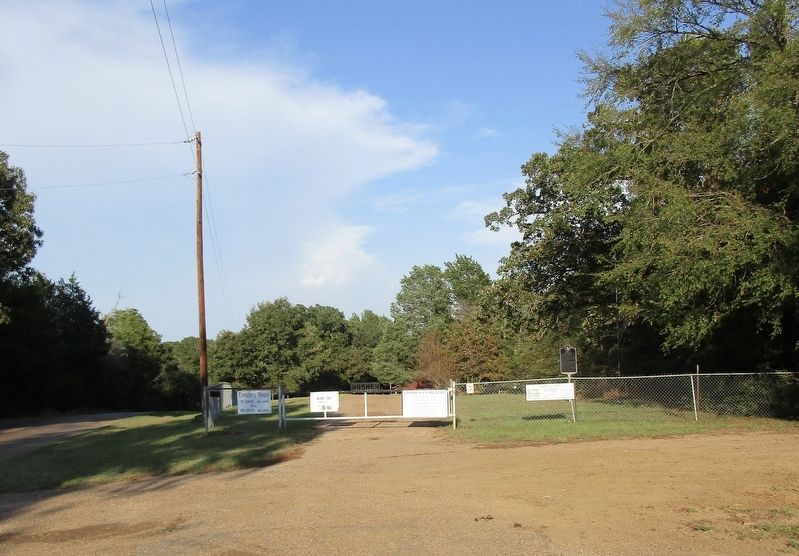
2. Goshen Cemetery and marker
Credits. This page was last revised on September 11, 2026. It was originally submitted on September 8, 2026, by Jeff Leichsenring of Garland, Texas. This page has been viewed 5 times since then. Photos: 1, 2. submitted on September 8, 2026, by Jeff Leichsenring of Garland, Texas. • James Hulse was the editor who published this page.
