
Payne Springs in Henderson County, Texas — The American South (West South Central)
Payne Springs Methodist Church and Cemetery
Photographed by Jeff Leichsenring, September 7, 2026
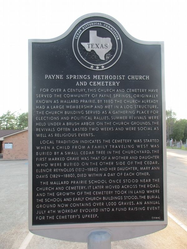
1. Payne Springs Methodist Church and Cemetery Marker
For over a century, this church and cemetery have served the community of Payne Springs, originally known as Mallard Prairie. By 1880 the church already had a large membership and met in a log structure. The church building served as a gathering place for elections and political rallies. Summer revivals were held under a brush arbor on the church grounds. The revivals often lasted two weeks and were social as well as religious events.
Local tradition indicates the cemetery was started when a child from a family traveling west was buried by a small cedar tree in the churchyard. The first marked grave was that of a mother and daughter who were buried on the other side of the cedar. Elenor Reynolds (1812-1880) and her daughter, Mary Ann Davis (1829-1880), died within a day of each other.
The Mallard Prairie School once stood near the church and cemetery. It later moved across the road, and the growth of the cemetery took in land where the school and early church buildings stood. The burial ground now contains over 1,000 graves. An annual July 4th workday evolved into a fund raising event for the cemetery's upkeep.
Erected 1984
this page online
Topics. This historical marker is listed in these topic lists: Cemeteries & Burial Sites • Religion & Religious Structures. A significant historical date for this entry is July 4, 1880.
Location. 32° 16.732′ N, 96° 4.19′ W. Marker is in Payne Springs, Texas, in Henderson County. It is at the intersection of State Highway 198 and County Road 2530, on the right when traveling south on State Highway 198. Touch for map. Marker is at or near this postal address: 9667 TX-198, Mabank TX 75156, United States of America. Touch for directions.

Regionally, this marker is in the American South and in the Piney Woods. Globally, it is in North America, a Gulf of Mexico state, the Western Hemisphere, the Western World, and the Anglosphere. Historically, it finds itself in what was once New Spain, the Republic of Texas, one of the Confederate States of America, and the Antebellum South.
Other nearby markers. At least 8 other markers are within 7 miles of this marker, measured as the crow flies: Lee Powell Simpson (about 300 feet away, measured in a direct line); Site of Centerville (approx.
Photographed by Jeff Leichsenring, September 7, 2026
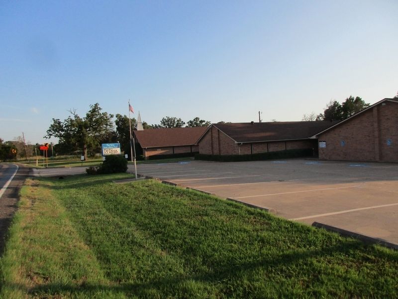
2. Payne Springs Methodist Church and marker
Photographed by Jeff Leichsenring, September 7, 2026
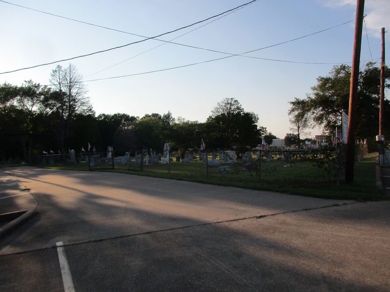
3. Payne Springs Methodist Church Cemetery
Credits. This page was last revised on September 11, 2026. It was originally submitted on September 8, 2026, by Jeff Leichsenring of Garland, Texas. This page has been viewed 4 times since then. Photos: 1, 2, 3. submitted on September 8, 2026, by Jeff Leichsenring of Garland, Texas. • James Hulse was the editor who published this page.
