Near Edom in Van Zandt County, Texas — The American South (West South Central)
Frontier Red Hill Cemetery
Photographed by Jeff Leichsenring, September 7, 2026
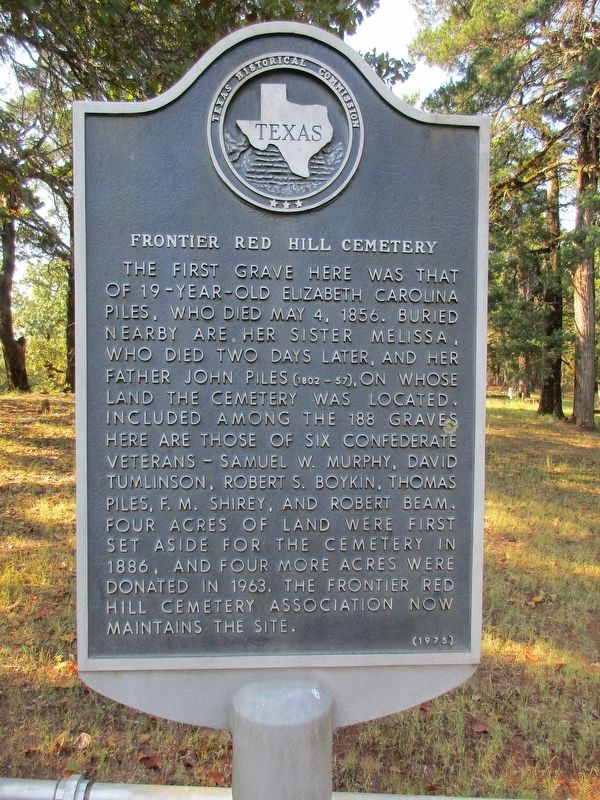
1. Frontier Red Hill Cemetery Marker
The first grave here was that of 19-year-old Elizabeth Carolina Piles, who died May 4, 1856. Buried nearby are her sister Melissa, who died two days later, and her father John Piles (1802-57), on whose land the cemetery was located. Included among the 188 graves here are those of six Confederate veterans - Samuel W. Murphy, David Tumlinson, Robert S. Boykin, Thomas Piles, F. M. Shirey, and Robert Beam. Four acres of land were first set aside for the cemetery in 1886, and four more acres were donated in 1963. The Frontier Red Hill Cemetery Association now maintains the site.
Erected 1975 by Texas Historical Commission. (Marker Number 11414.)
Topics. This historical marker is listed in this topic list: Cemeteries & Burial Sites. A significant historical date for this entry is May 4, 1856.
Location. 32° 24.651′ N, 95° 33.438′ W. Marker is near Edom, Texas, in Van Zandt County. It can be reached from the intersection of County Road 4915 and County Road 4929, on the right when traveling south. Touch for map. Marker is in this post office area: Ben Wheeler TX 75754, United States of America. Touch for directions.

Regionally, this
this page online
Other nearby markers. At least 8 other markers are within 4 miles of this marker, measured as the crow flies: Cherokee Chief Bowles (approx. 2.8 miles away); Primrose-Sexton Community (approx. 3.1 miles away); Roseland Plantation Home (approx. 3.3 miles away); Ingram Cemetery (approx. 3.6 miles away); First Baptist Church of Edom (approx. 3.8 miles away); Site of C.W. Morris Cotton Gin (approx. 3.9 miles away); Mt. Zion C. M. E. Church (approx. 4 miles away); Edom Methodist Church (approx. 4 miles away). Touch for a list and map of all markers in Edom.
Photographed by Jeff Leichsenring, September 7, 2026
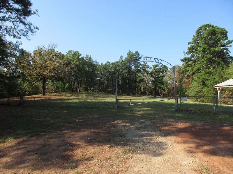
2. Frontier Red Hill Cemetery and marker
Credits. This page was last revised on September 12, 2026. It was originally submitted on September 8, 2026, by Jeff Leichsenring of Garland, Texas. This page has been viewed 6 times since then. Photos: 1, 2. submitted on September 8, 2026, by Jeff Leichsenring of Garland, Texas. • James Hulse was the editor who published this page.
