Near Edom in Van Zandt County, Texas — The American South (West South Central)
Ingram Cemetery
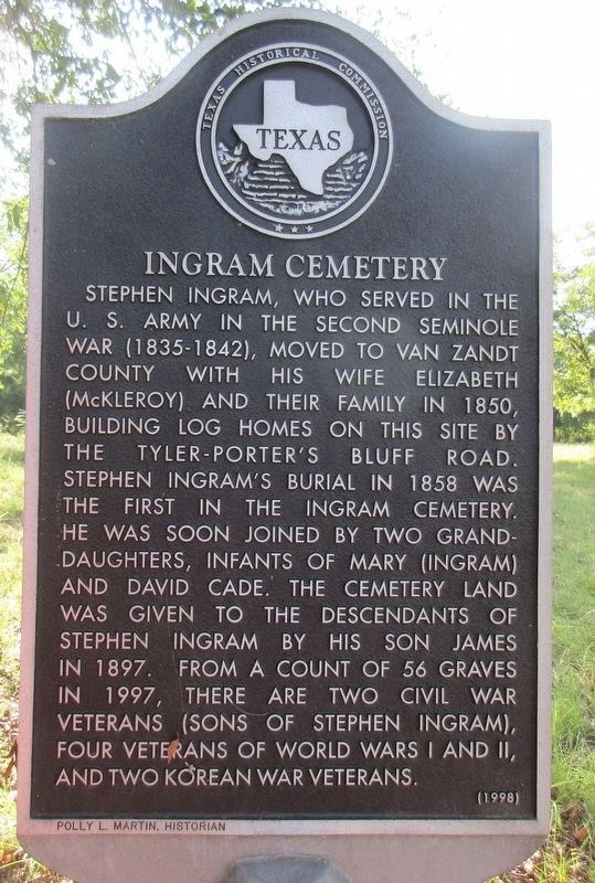
Photographed by Jeff Leichsenring, September 7, 2026
1. Ingram Cemetery Marker
Stephen Ingram, who served in the U.S. Army in the second Seminole War (1835-1842), moved to Van Zandt County with his wife Elizabeth (McKleroy) and their family in 1850, building log homes on this site by the Tyler-Porter's Bluff Road. Stephen Ingram's burial in 1858 was the first in the Ingram Cemetery. He was soon joined by two granddaughters, infants of Mary (Ingram) and David Cade. The cemetery land was given to the descendants of Stephen Ingram by his son James in 1897. From a count of 56 graves in 1997, there are two Civil War veterans (sons of Stephen Ingram), four veterans of World Wars I and II, and two Korean War veterans.
Erected 1998 by Texas Historical Commission. (Marker Number 12260.)
Topics. This historical marker is listed in this topic list: Cemeteries & Burial Sites. A significant historical year for this entry is 1850.
Location. 32° 21.845′ N, 95° 31.774′ W. Marker is near Edom, Texas, in Van Zandt County. It is on Farm to Market Road 279 1½ miles west of County Road 4818, on the right when traveling east. Touch for map. Marker is at or near this postal address: 13208 FM 279, Ben Wheeler TX 75754, United States of America. Touch for directions.

Regionally, this marker is in the American South and in the Piney Woods. Globally, it is in North America, a Gulf of Mexico state, the Western Hemisphere, the Western World, and the Anglosphere. Historically, it finds itself in what was once New Spain, the Republic of Texas, one of the Confederate States of America, and the Antebellum South.
Other nearby markers. At least 8 other markers are within 5 miles of this marker, measured as the crow flies: Roseland Plantation Home (approx. 1½ miles away); Mt. Zion C. M. E. Church (approx. 1.9 miles away); County Line Missionary Baptist Church (approx. 2.1 miles away); Cherokee Chief Bowles
this page online
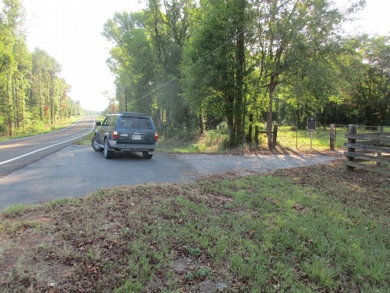
Photographed by Jeff Leichsenring, September 7, 2026
2. Ingram Cemetery Marker
Credits. This page was last revised on September 12, 2026. It was originally submitted on September 8, 2026, by Jeff Leichsenring of Garland, Texas. This page has been viewed 7 times since then. Photos: 1, 2. submitted on September 8, 2026, by Jeff Leichsenring of Garland, Texas. • James Hulse was the editor who published this page.
