
Near Athens in Henderson County, Texas — The American South (West South Central)
Sand Flat Cemetery
Photographed by Jeff Leichsenring, September 7, 2026
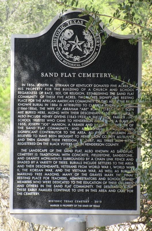
1. Sand Flat Cemetery Marker
In 1856, Joseph M. Stirman of Kentucky donated five acres of his property for the building of a church and school regardless of race, sex, or religion, establishing the Sand Flat community. Of these five acres, two acres signify the resting place for the African American community of this area. The first known burial in 1884 is attributed to Clarrisa Andrews Royall (1844-1884), the wife of Abraham "Abe" Royall (1835-1911). Both are buried here, along with their descendants. Notable burials also include Henry Givens (1843-1923), a successful farmer and school trustee who came to Henderson County as a slave in 1855, Joseph "Joe" Manion, a farmer and influential member of the Sand Flat community, and Abe Royall, a farmer and significant contributor to the area. All three gentlemen are believed to have been brought to Henderson County as slaves and then gained their freedom. By 1867, all three men were registered on the black voters list in Henderson County.
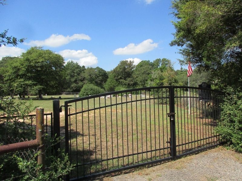
The landscape of the Sand Flat, also known as Sandflat, Cemetery is traditional with concrete, fieldstone, sandstone, and granite monuments surrounded by a chain link fence and shaded by a variety of trees. Burials include settlers to the area and their descendants, veterans from World War I, World War II, the Korean War, and the Vietnam War, as well as burials marking free masons. Many of the graves mark the final resting place for teachers, administrators and school board members who were dedicated to the education of their children and others in the Sand Flat community. The descendants of these early families continue to live in this area and care for the cemetery.
Erected 2010 by Texas Historical Commission. (Marker Number 16734.)
Topics. This historical marker is listed in these topic lists: African Americans
this page online
Location. 32° 16.307′ N, 95° 53.024′ W. Marker is near Athens, Texas, in Henderson County. It is on County Road 3907 1.3 miles north of Route 3918, on the left when traveling north. Touch for map. Marker is at or near this postal address: 8600 Co Rd 3907, Eustace TX 75124, United States of America. Touch for directions.

Regionally, this marker is in the American South and in the Piney Woods. Globally, it is in North America, a Gulf of Mexico state, the Western Hemisphere, the Western World, and the Anglosphere. Historically, it finds itself in what was once New Spain, the Republic of Texas, one of the Confederate States of America, and the Antebellum South.
Other nearby markers. At least 8 other markers are within 5 miles of this marker, measured as the crow flies: Cottonwood Cemetery (approx. 2.8 miles away); William Richardson (approx. 3 miles away); Site of Blackshear/Fisher School (approx. 4.3 miles away); Richard Columbus Fisher (approx. 4.4 miles away); Shelby Chapel Church and Cemetery (approx. 4.4 miles away); Mt. Providence Baptist Church
Photographed by Jeff Leichsenring, September 7, 2026
2. Sand Flat Cemetery and marker
Credits. This page was last revised on September 12, 2026. It was originally submitted on September 8, 2026, by Jeff Leichsenring of Garland, Texas. This page has been viewed 6 times since then. Photos: 1, 2. submitted on September 8, 2026, by Jeff Leichsenring of Garland, Texas. • James Hulse was the editor who published this page.
