Near Martin's Mill in Van Zandt County, Texas — The American South (West South Central)
Liberty Cemetery
Photographed by Jeff Leichsenring, September 7, 2026
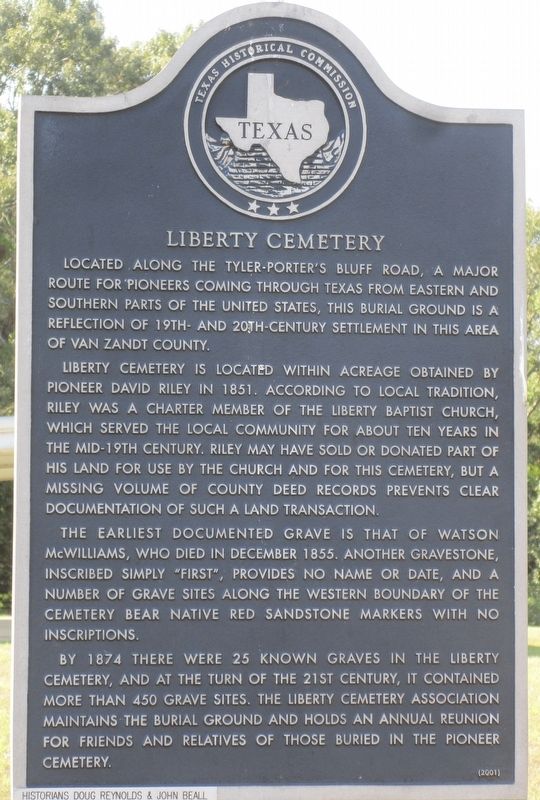
1. Liberty Cemetery Marker
Located along the Tyler-Porter's Bluff Road, a major route for pioneers coming through Texas from eastern and southern parts of the United States, this burial ground is a reflection of 19th- and 20th-century settlement in this area of Van Zandt County.
Liberty Cemetery is located within acreage obtained by pioneer David Riley in 1851. According to local tradition, Riley was a charter member of the Liberty Baptist Church, which served the local community for about ten years in the mid-19th century. Riley may have sold or donated part of his land for use by the church and for this cemetery, but a missing volume of county deed records prevents clear documentation of such a land transaction.
The earliest documented grave is that of Watson McWilliams, who died in December 1855. Another gravestone, inscribed simply "first", provides no name or date, and a number of grave sites along the western boundary of the cemetery bear native red sandstone markers with no inscriptions.
By 1874 there were 25 known graves in the Liberty Cemetery, and at the turn of the 21st century, it contained more than 450 grave sites. The Liberty Cemetery Association maintains the burial ground and holds an annual reunion for friends and relatives of those buried in the pioneer cemetery.
Erected 2001 by Texas Historical Commission. (Marker Number 12427.)
Topics. This historical marker is listed in this topic list: Cemeteries & Burial Sites. A significant historical month for this entry is December 1855.
Location. 32° 22.088′ N, 95° 47.251′ W. Marker is near Martin's Mill, Texas, in Van Zandt County. It is on Farm to Market Road 2339 0.6 miles east of Farm to Market Road 1861, on the left when traveling west. Touch for map. Marker is at or near this postal address: 11403 Farm to Market Rd 2339, Canton TX 75103, United States of America.
this page online

Regionally, this marker is in the American South and in the Piney Woods. Globally, it is in North America, a Gulf of Mexico state, the Western Hemisphere, the Western World, and the Anglosphere. Historically, it finds itself in what was once New Spain, the Republic of Texas, one of the Confederate States of America, and the Antebellum South.
Other nearby markers. At least 8 other markers are within 6 miles of this marker, measured as the crow flies: Tidmore Cemetery (approx. 1.1 miles away); Lexie Dean Robertson (approx. 3.3 miles away); Mars Community (approx. 3.7 miles away); Allen Cemetery (approx. 3.8 miles away); Holly Springs Cemetery (approx. 4.8 miles away); Holly Springs United Methodist Church (approx. 4.8 miles away); Meredith Campground and Tabernacle (approx. 5.2 miles away); Cox Cemetery (approx. 5.8 miles away).
Photographed by Jeff Leichsenring, September 7, 2026
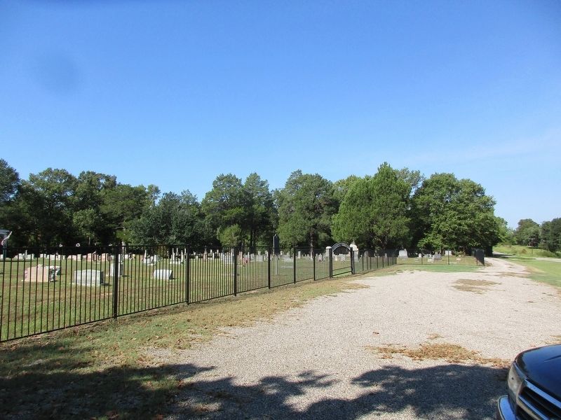
2. Liberty Cemetery and marker
Credits. This page was last revised on September 12, 2026. It was originally submitted on September 8, 2026, by Jeff Leichsenring of Garland, Texas. This page has been viewed 2 times since then. Photos: 1, 2. submitted on September 8, 2026, by Jeff Leichsenring of Garland, Texas. • James Hulse was the editor who published this page.
