Near Noonday in Smith County, Texas — The American South (West South Central)
Hawthorne Cemetery
Photographed by Jeff Leichsenring, September 7, 2026
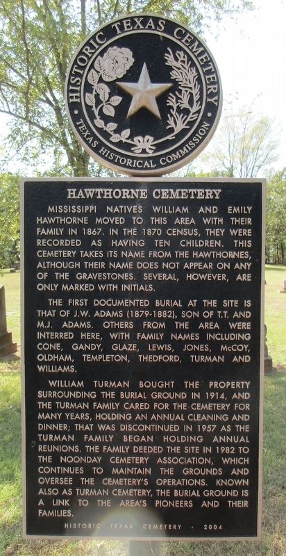
1. Hawthorne Cemetery Marker
Mississippi natives William and Emily Hawthorne moved to this area with their family in 1867. In the 1870 census, they were recorded as having ten children. This cemetery takes its name from the Hawthornes, although their name does not appear on any of the gravestones. Several, however, are only marked with initials.
The first documented burial at the site is that of J.W. Adams (1879-1882), son of T.T. and M.J. Adams. Others from the area were interred here, with family names including Cone, Gandy, Glaze, Lewis, Jones, McCoy, Oldham, Templeton, Thedford, Turman and Williams.
William Turman bought the property surrounding the burial ground in 1914, and the Turman family cared for the cemetery for many years, holding an annual cleaning and dinner; that was discontinued in 1957 as the Turman family began holding annual reunions. The family deeded the site in 1982 to the Noonday Cemetery Association, which continues to maintain the grounds and oversee the cemetery's operations. Known also as Turman Cemetery, the burial ground is a link to the area's pioneers and their families.
Erected 2004 by Texas Historical Commission. (Marker Number 13250.)
Topics. This historical marker is listed in this topic list: Cemeteries & Burial Sites. A significant historical year for this entry is 1867.
Location. 32° 14.275′ N, 95° 27.559′ W. Marker is near Noonday, Texas, in Smith County. It is on County Road 1194 0.4 miles west of Farm to Market Road 2661. West of Noonday on CR 1261, then north on FM 2661, then west on CR 1194 to end of road. Touch for map. Marker is at or near this postal address: 17294 County Rd 1194, Flint TX 75762, United States of America. Touch for directions.

Regionally, this marker is in the American South, specifically in the Deep South, and in the Piney Woods.
this page online
Other nearby markers. At least 8 other markers are within 6 miles of this marker, measured as the crow flies: Evans Chapel Cemetery (approx. 3 miles away); Noonday Cemetery (approx. 3.8 miles away); Yarborough Home (approx. 5 miles away); Cherokee Exodus from Texas (approx. 5 miles away); John Crane (approx. 5 miles away); First United Methodist Church (approx. 5.2 miles away); The Major John Dean House (approx. 5.9 miles away); Rock Hill Cemetery (approx. 6 miles away).
Photographed by Jeff Leichsenring, September 7, 2026
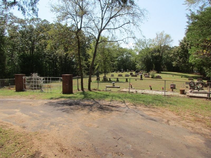
2. Hawthorne Cemetery and marker
Credits. This page was last revised on September 12, 2026. It was originally submitted on September 9, 2026, by Jeff Leichsenring of Garland, Texas. This page has been viewed 6 times since then. Photos: 1, 2. submitted on September 9, 2026, by Jeff Leichsenring of Garland, Texas. • James Hulse was the editor who published this page.
