
Noonday in Smith County, Texas — The American South (West South Central)
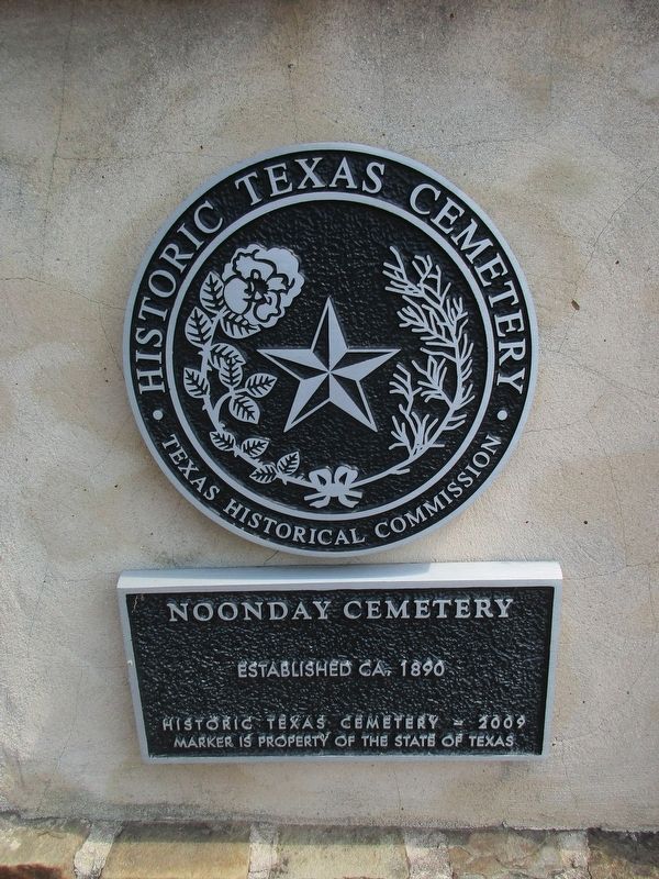
Noonday Cemetery
Photographed by Jeff Leichsenring, September 7, 2026
1. Noonday Cemetery Marker
Erected 2009 by Texas Historical Commission. (Marker Number 16774.)
Topics. This historical marker is listed in this topic list: Cemeteries & Burial Sites.
Location. 32° 14.755′ N, 95° 23.741′ W. Marker is in Noonday, Texas, in Smith County. It is on State Highway 155 0.3 miles south of Loop Highway 49. Touch for map. Marker is in this post office area: Flint TX 75762, United States of America. Touch for directions.

Regionally, this marker is in the American South, specifically in the Deep South, and in the Piney Woods. Globally, it is in North America, a Gulf of Mexico state, the Western Hemisphere, the Western World, and the Anglosphere. Historically, it finds itself in what was once New Spain, the Republic of Texas, one of the Confederate States of America, and the Antebellum South.
Other nearby markers. At least 8 other markers are within 7 miles of this marker, measured as the crow flies: Smith Cemetery (approx. 3.7 miles away); Hawthorne Cemetery (approx. 3.8 miles away); The Major John Dean House
this page online
Photographed by Jeff Leichsenring, September 7, 2026
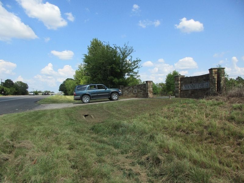
2. Noonday Cemetery Marker
Photographed by Jeff Leichsenring, September 7, 2026
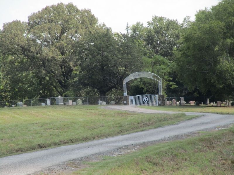
3. Noonday Cemetery
Credits. This page was last revised on September 12, 2026. It was originally submitted on September 9, 2026, by Jeff Leichsenring of Garland, Texas. This page has been viewed 4 times since then. Photos: 1, 2, 3. submitted on September 9, 2026, by Jeff Leichsenring of Garland, Texas. • James Hulse was the editor who published this page.
