
Chandler in Henderson County, Texas — The American South (West South Central)
Evans Chapel Cemetery
Photographed by Jeff Leichsenring, September 7, 2026
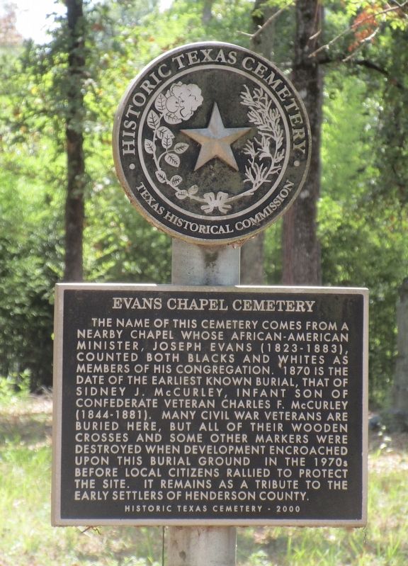
1. Evans Chapel Cemetery Marker
The name of this cemetery comes from a nearby chapel whose African-American minister, Joseph Evans (1823-1883), counted both blacks and whites as members of his congregation. 1870 is the date of the earliest known burial, that of Sidney J. McCurley, infant son of Confederate veteran Charles F. McCurley (1844-1881). Many Civil War veterans are buried here, but all of their wooden crosses and some other markers were destroyed when development encroached upon this burial ground in the 1970s before local citizens rallied to protect the site. It remains as a tribute to the early settlers of Henderson County.
Erected 2000 by Texas Historical Commission. (Marker Number 15176.)
Topics. This historical marker is listed in this topic list: Cemeteries & Burial Sites. A significant historical year for this entry is 1870.
Location. 32° 13.073′ N, 95° 30.275′ W. Marker is in Chandler, Texas, in Henderson County. It is at the intersection of Forest Grove Drive and Lonely Ln, on the left when traveling west on Forest Grove Drive. Touch for map. Marker is at or near this postal address: 20910
this page online

Regionally, this marker is in the American South and in the Piney Woods. Globally, it is in North America, a Gulf of Mexico state, the Western Hemisphere, the Western World, and the Anglosphere. Historically, it finds itself in what was once New Spain, the Republic of Texas, one of the Confederate States of America, and the Antebellum South.
Other nearby markers. At least 8 other markers are within 7 miles of this marker, measured as the crow flies: Hawthorne Cemetery (approx. 3 miles away); The Antioch Rosenwald School (approx. 3.7 miles away); Rock Hill Cemetery (approx. 5½ miles away); New Hope United Methodist Church (approx. 5.8 miles away); Yarborough Home (approx. 6.2 miles away); Cherokee Exodus from Texas (approx. 6.2 miles away); John Crane (approx. 6.2 miles away); First United Methodist Church (approx. 6½ miles away). Touch for a list and map of all markers in Chandler.
Photographed by Jeff Leichsenring, September 7, 2026
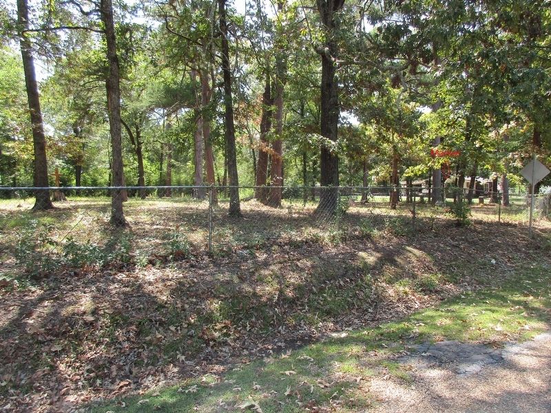
2. Evans Chapel Cemetery and marker
Credits. This page was last revised on September 12, 2026. It was originally submitted on September 9, 2026, by Jeff Leichsenring of Garland, Texas. This page has been viewed 5 times since then. Photos: 1, 2. submitted on September 9, 2026, by Jeff Leichsenring of Garland, Texas. • James Hulse was the editor who published this page.
