Near Murchison in Henderson County, Texas — The American South (West South Central)
Allen Cemetery
Photographed by Jeff Leichsenring, September 7, 2026
1. Allen Cemetery Marker
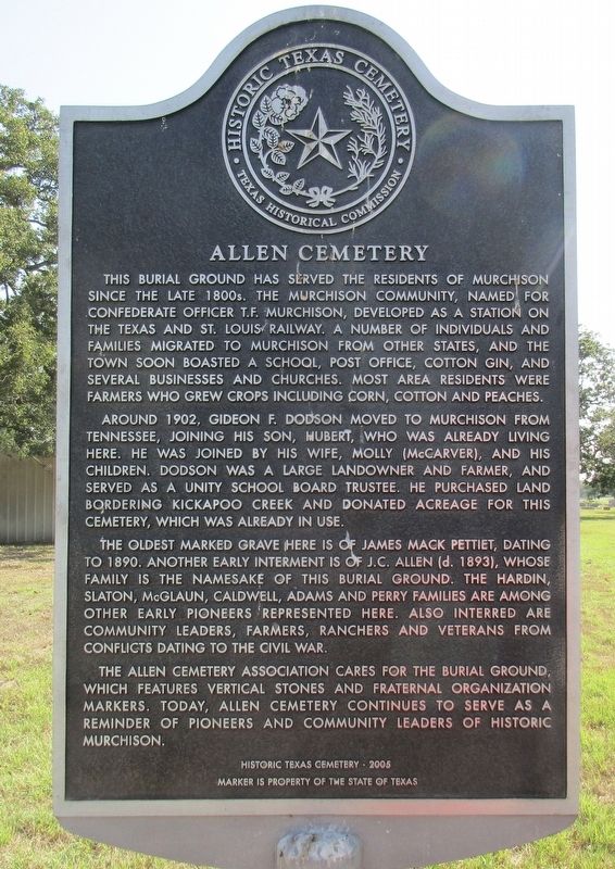
This burial ground has served the residents of Murchison since the late 1800s. The Murchison Community, named for Confederate officer T.F. Murchison, developed as a station on the Texas and St. Louis Railway. A number of individuals and families migrated to Murchison from other states, and the town soon boasted a school, post office, cotton gin, and several businesses and churches. Most area residents were farmers who grew crops including corn, cotton and peaches.
Around 1902, Gideon F. Dodson moved to Murchison from Tennessee, joining his son, Hubert, who was already living here. He was joined by his wife, Molly (McCarver), and his children. Dodson was a large landowner and farmer, and served as a unity school board trustee. He purchased land bordering Kickapoo Creek and donated acreage for this cemetery, which was already in use.
The oldest marked grave here is of James Mack Pettiet, dating to 1890. Another early interment is of J.C. Allen (d. 1893), whose family is the namesake of this burial ground. The Hardin, Slaton, McGlaun, Caldwell, Adams and Perry families are among other early pioneers represented here.
this page online
The Allen Cemetery Association cares for the burial ground, which features vertical stones and fraternal organization markers. Today, Allen Cemetery continues to serve as a reminder of pioneers.
Erected 2008 by Texas Historical Commission. (Marker Number 15326.)
Topics. This historical marker is listed in this topic list: Cemeteries & Burial Sites. A significant historical year for this entry is 1902.
Location. 32° 19.207′ N, 95° 45.375′ W. Marker is near Murchison, Texas, in Henderson County. It is on Farm to Market Road 773 0.1 miles north of County Road 3800, on the right when traveling north. Touch for map. Marker is at or near this postal address: 12260 FM773, Murchison TX 75778, United States of America. Touch for directions.

Regionally, this marker is in the American South and in the Piney Woods. Globally, it is in North America, a Gulf of Mexico state, the Western Hemisphere, the Western World, and the Anglosphere. Historically, it finds itself in what was once New Spain, the
Photographed by Jeff Leichsenring, September 7, 2026
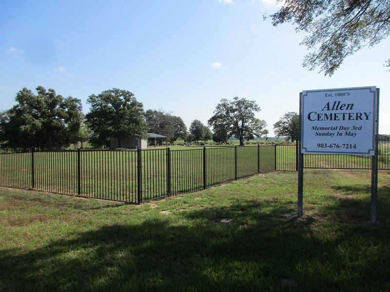
2. Allen Cemetery and marker
Other nearby markers. At least 8 other markers are within 6 miles of this marker, measured as the crow flies: Mars Community (approx. 3.1 miles away); Tidmore Cemetery (approx. 3½ miles away); Liberty Cemetery (approx. 3.8 miles away); Red Hill Cemetery (approx. 4.4 miles away); Arthur C. Horton, M.D. (approx. 4.4 miles away); Adren Anglin (approx. 5.1 miles away); Asbury Cemetery (approx. 5.1 miles away); Mount Zion Baptist Church (approx. 5½ miles away).
Photographed by Jeff Leichsenring, September 7, 2026
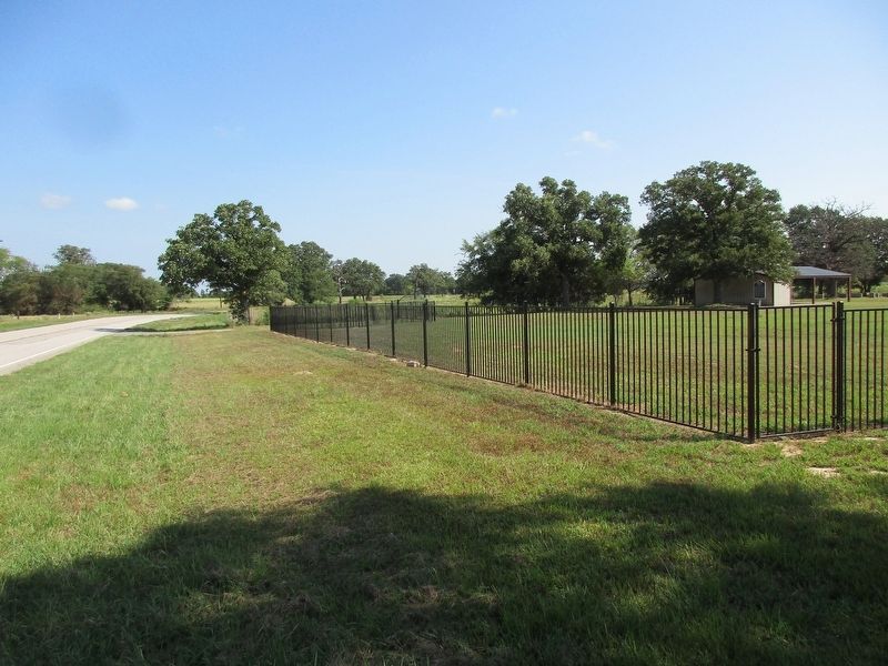
3. Allen Cemetery Marker
Credits. This page was last revised on September 12, 2026. It was originally submitted on September 9, 2026, by Jeff Leichsenring of Garland, Texas. This page has been viewed 3 times since then. Photos: 1, 2, 3. submitted on September 9, 2026, by Jeff Leichsenring of Garland, Texas. • James Hulse was the editor who published this page.
