Erie in Erie County, Pennsylvania — The American Northeast (Mid-Atlantic)
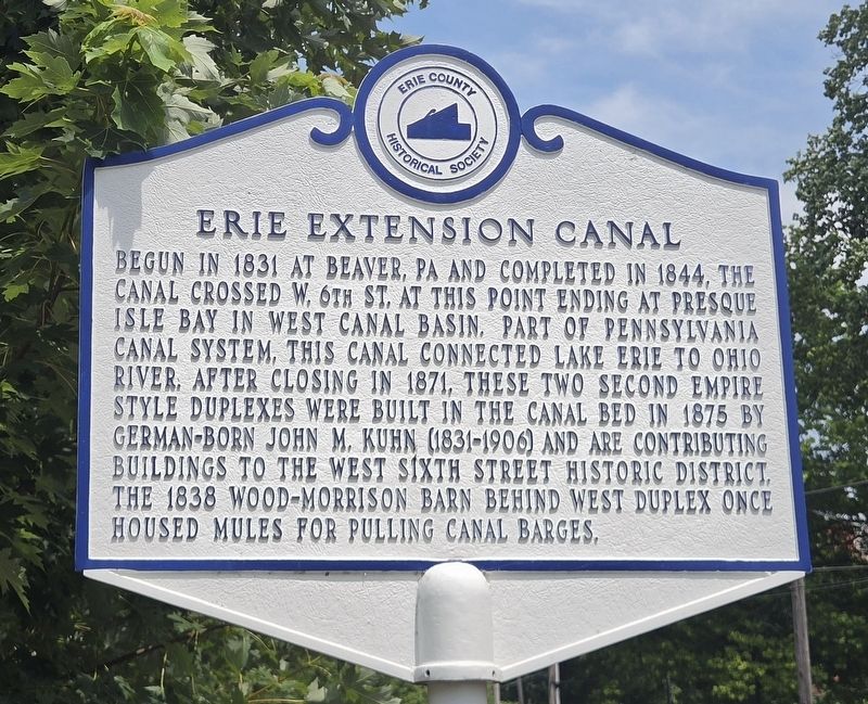
Erie Extension Canal
Photographed by Mark Parker, July 15, 2026
1. Erie Extension Canal Marker
Erected by Erie Historical Society.
Topics and series. This historical marker is listed in these topic lists: Architecture • Waterways & Vessels. In addition, it is included in the Ohio and Erie Canal series list. A significant historical year for this entry is 1831.
Location. 42° 7.613′ N, 80° 5.551′ W. Marker is in Erie, Pennsylvania, in Erie County. It is on West 6th Street (Alternate Pennsylvania Route 5) west of Myrtle Street, on the right when traveling west. Touch for map. Marker is at or near this postal address: 328 W 6th Street, Erie PA 16507, United States of America. Touch for directions.

Regionally,
this page online
Other nearby markers. At least 8 other markers are within walking distance of this marker: Canalside Townhouses (a few steps from this marker); a different marker also named Canalside Townhouses (a few steps from this marker); Wood-Morrison House (within shouting distance of this marker); a different marker also named Wood-Morrison House (within shouting distance of this marker); Selden House (within shouting distance of this marker); Commodore Oliver Hazard Perry (within shouting distance of this marker); Watson-Curtze Mansion (within shouting distance of this marker); James McBrier House (about 300 feet away, measured in a direct line). Touch for a list and map of all markers
Photographed by Mark Parker, July 15, 2026
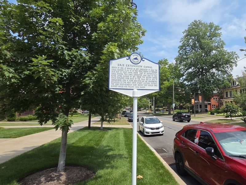
2. Erie Extension Canal Marker looking east on West 6th Street
Photographed by Mark Parker, July 15, 2026
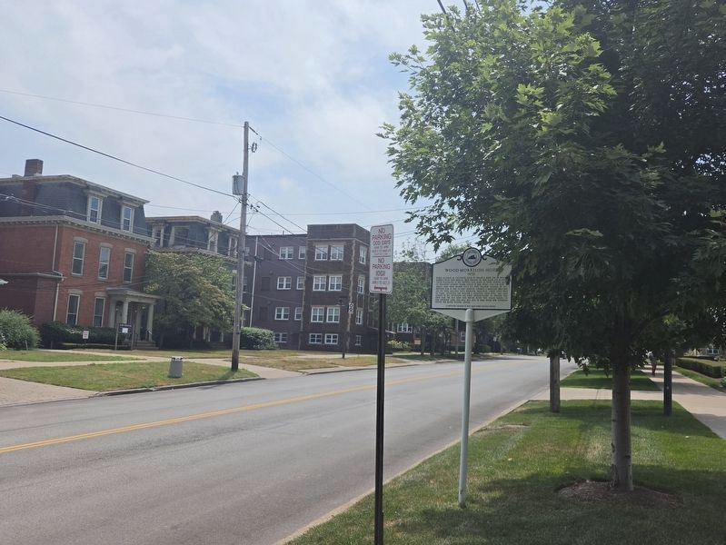
3. .
Photographed by Mark Parker, July 15, 2026
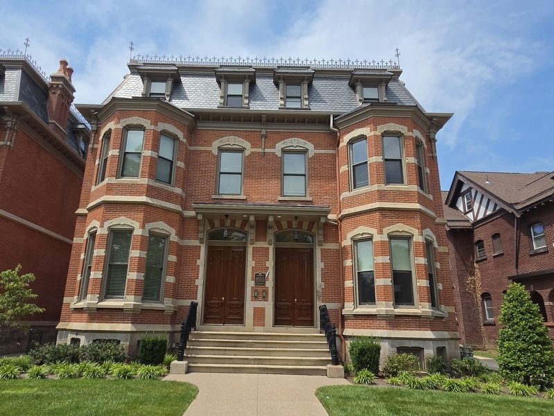
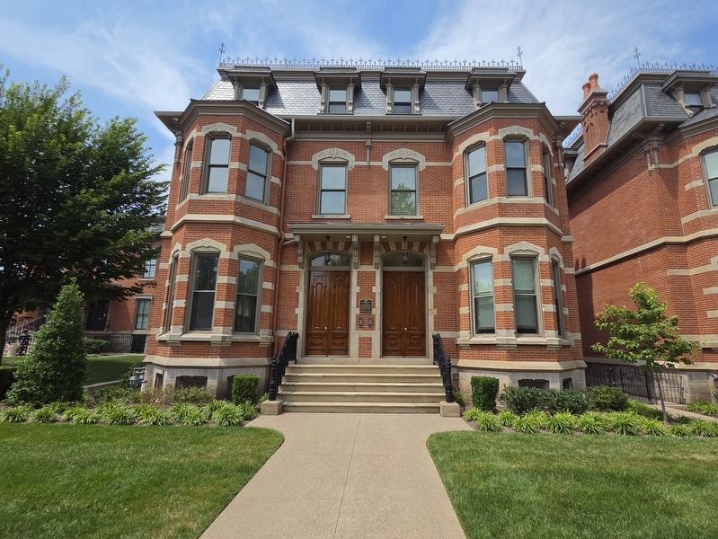
4. One of two Second Empire style Townhomes built in the Erie Extension Canal bed
Photographed by Mark Parker, July 15, 2026
5. One of two Second Empire style Townhomes built in the Erie Extension Canal bed
Credits. This page was last revised on September 13, 2026. It was originally submitted on September 9, 2026, by Mark Parker of Hickory, North Carolina. This page has been viewed 13 times since then. Photos: 1, 2, 3, 4, 5. submitted on September 9, 2026, by Mark Parker of Hickory, North Carolina. • Andrew Ruppenstein was the editor who published this page.
