Elm Creek in Buffalo County, Nebraska — The American Midwest (Upper Plains)
Elm Creek
Photographed by Larry Lee, September 7, 2026
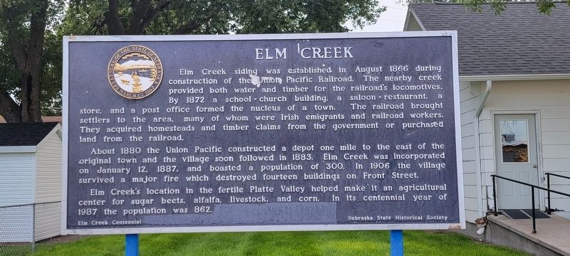
1. Elm Creek Marker
Elm Creek siding was established in August 1866 during construction of the Union Pacific Railroad. The nearby creek provided both water and timber for the railroad's locomotives. By 1872 a school-church building, a saloon-restaurant, a store, and a post office formed the nucleus of a town. The railroad brought settlers to the area, many of whom were Irish emigrants and railroad workers. They acquired homesteads and timber claims from the government or purchased land from the railroad. About 1880 the Union Pacific constructed a depot one mile to the east of the original town, and the village soon followed in 1883. Elm Creek was incorporated on January 12, 1887, and boasted a population of 300. In 1906 the village survived a major fire which destroyed fourteen buildings on Front Street. Elm Creek's location in the fertile Platte Valley helped make it an agricultural center for sugar beets, alfalfa, livestock, and corn. In its centennial year of 1987 the population was 862.
Erected by Elm Creek Centennial and Nebraska State Historical Society.
Topics. This historical marker is listed
this page online
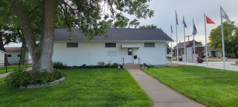
Location. 40° 43.138′ N, 99° 22.4′ W. Marker is in Elm Creek, Nebraska, in Buffalo County. It is on North Tyler Street, on the right when traveling south. The marker is in front of the Elm Creek Library building near the corner of W. Calkins Ave/N.Tyler St/E. Calkins Ave. Th nearest crossroads are 1.3 miles to US 30 at US 183. It is 1.5 blocks north of US 30 on the west side of N. Tyler Street. Touch for map. Marker is at or near this postal address: 241 N Tyler St, Elm Creek NE 68836, United States of America. Touch for directions.

Regionally, this marker is in Central Nebraska and in the Platte River Valley. It is also in the American Midwest, in the Corn Belt, and on the prairies. Globally, it is in North America, the Western Hemisphere, the Western World, and the Anglosphere. Historically, it finds itself in what was once the Louisiana Purchase.
Other nearby markers. At least 3 other markers are within 7 miles of this marker, measured as the crow flies: 1860 (approx. 4.9 miles
Photographed by Larry Lee, September 7, 2026
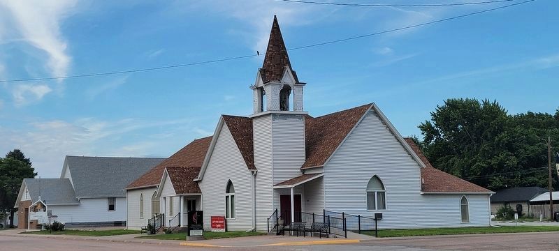
2. United Methodist Church
United Methodist Church located across North Tyler Street and just north of the marker.
Regarding Elm Creek. Elm Creek is part of the Kearney Nebraska Micropopulation Statistical Area, and its population in the 2020 census was 979.
Photographed by Larry Lee, September 7, 2026
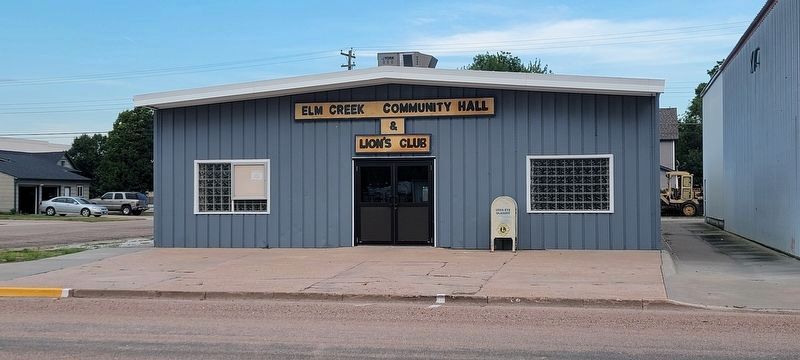
3. Elm Creek Community Hall and Lion's Club
The Elm Creek Community Hall and Lion's Club is directly across from the marker.
Photographed by Larry Lee, September 7, 2026
4. Elm Creek Library
Credits. This page was last revised on November 10, 2026. It was originally submitted on September 10, 2026, by Larry Lee of Midlothian, Virginia. This page has been viewed 7 times since then. Photos: 1, 2, 3, 4. submitted on September 10, 2026, by Larry Lee of Midlothian, Virginia. • J. Makali Bruton was the editor who published this page.
Editor’s want-list for this marker. A wide view photo of the marker and the surrounding area together in context. • Can you help?
