Grand Canyon National Park in Coconino County, Arizona — The American Mountains (Southwest)
Phantom Ranch
Photographed by Craig Baker
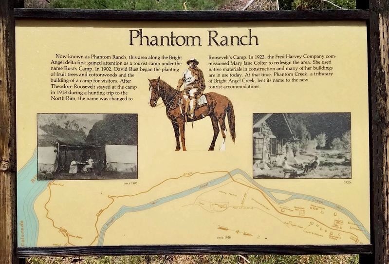
1. Phantom Ranch Marker
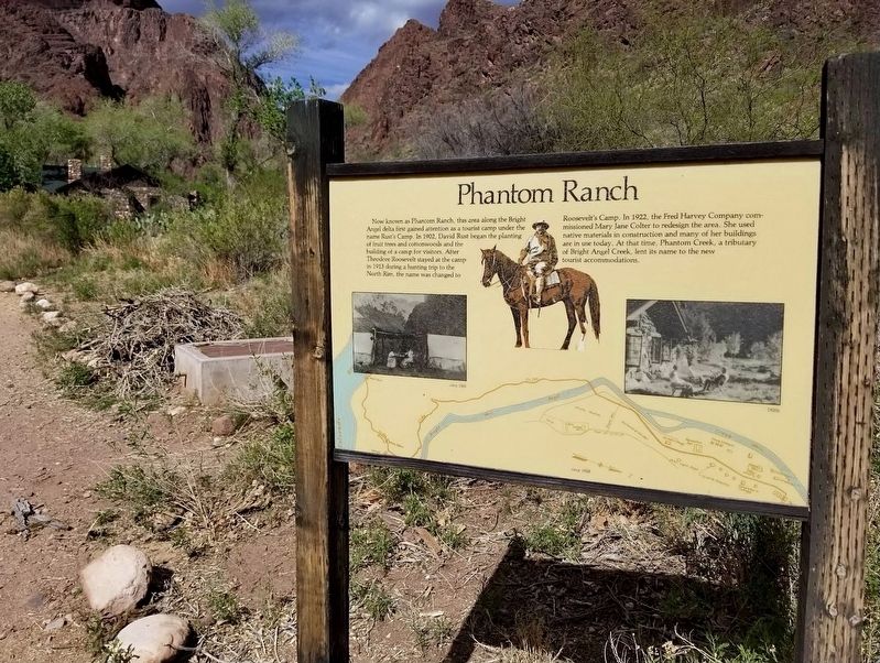
Now known as Phantom Ranch, this area along the Bright Angel delta first gained attention as a tourist camp under the name Rust's Camp. In 1902, David Rust began the planting of fruit trees and cottonwoods and the building of a camp for visitors. After Theodore Roosevelt stayed at the camp in 1913 during a hunting trip to the North Rim, the name was changed to Roosevelt's Camp. In 1922, the Fred Harvey Company commissioned Mary Jane Colter to redesign the area. She used native materials in construction and many of her buildings are in use today. At that time, Phantom Creek, a tributary of Bright Angel Creek, lent its name to the new tourist accommodations.
Topics. This historical marker is listed in these topic lists: Architecture • Industry & Commerce • Parks & Recreational Areas. A significant historical year for this entry is 1902.
Location. 36° 6.113′ N, 112° 5.74′ W. Marker is in Grand Canyon National Park, Arizona, in Coconino County. It is on North Kaibab Trail. Located in the bottom of the Grand Canyon. Touch for map. Marker is at or near this postal address: 40 N Kaibab Trail, North Rim
this page online

Regionally, this marker is in Flagstaff & High Country and in Hopi. It is also in the American Southwest, in the Mountain West, on the Colorado Plateau, and at the Four Corners. Globally, it is in North America, the Western Hemisphere, the Western World, and the Anglosphere. Historically, it finds itself in what was once New Spain and also Mexico’s Alta California.
Other nearby markers. At least 8 other markers are within 4 miles of this marker, measured as the crow flies: Kaibab Trail Suspension Bridge (approx. 2.8 miles away); How's the View? (approx. 2.8 miles away); The Mighty Colorado? (approx. 2.8 miles away); Stephen Tyng Mather (approx. 2.9 miles away); Two People. Two Parties. One Message (approx. 3 miles away); Early Explorer (approx. 3.7 miles away); Orphan Mine (approx. 3.7 miles away); Verkamp's Curios Store (approx. 3.8 miles away). Touch for a list and map of all markers in Grand Canyon National Park.
Another marker is no longer nearby. Verkamp's Curios (was approx. 3.8 miles away but has been replaced with another marker now near it).
Photographed by Craig Baker
2. Phantom Ranch Marker
Photographed by Craig Baker
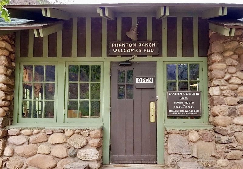
3. Phantom Ranch
Photographed by Craig Baker
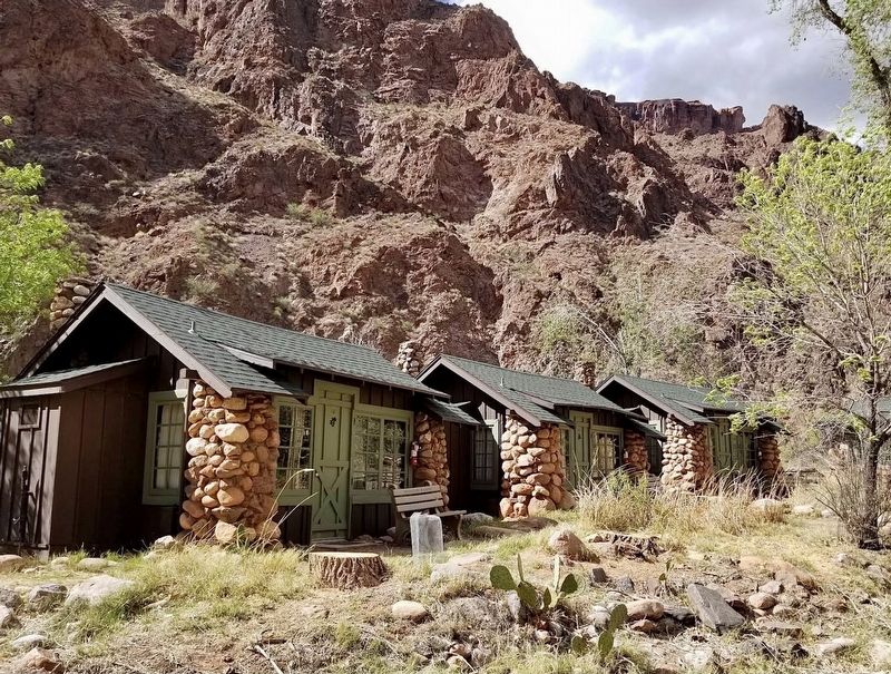
4. Phantom Ranch
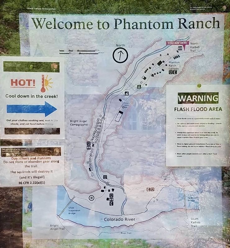
courtesy NPS
5. Phantom Ranch Map
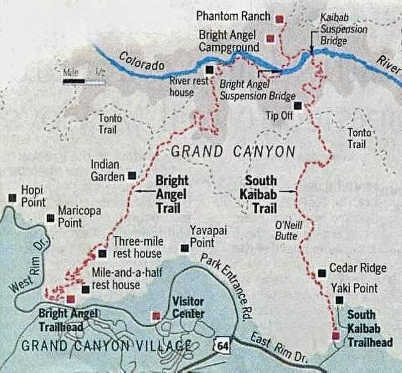
courtesy NPS
6. Trails Map
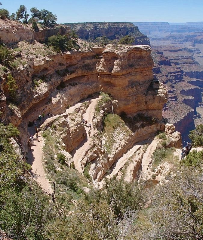
Photographed by Craig Baker
7. Trail Into Canyon
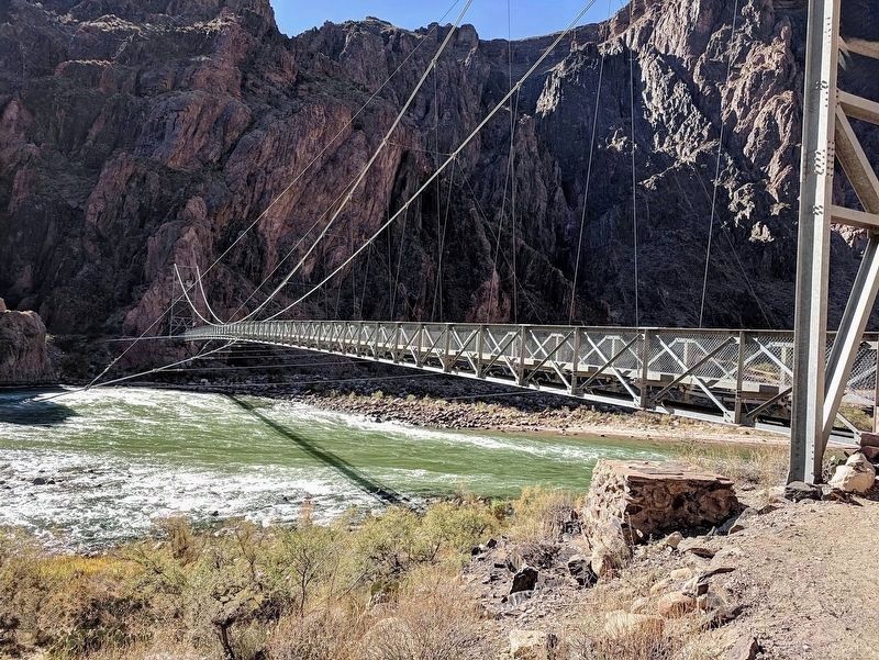
Photographed by Craig Baker
8. Bright Angel Trail Bridge
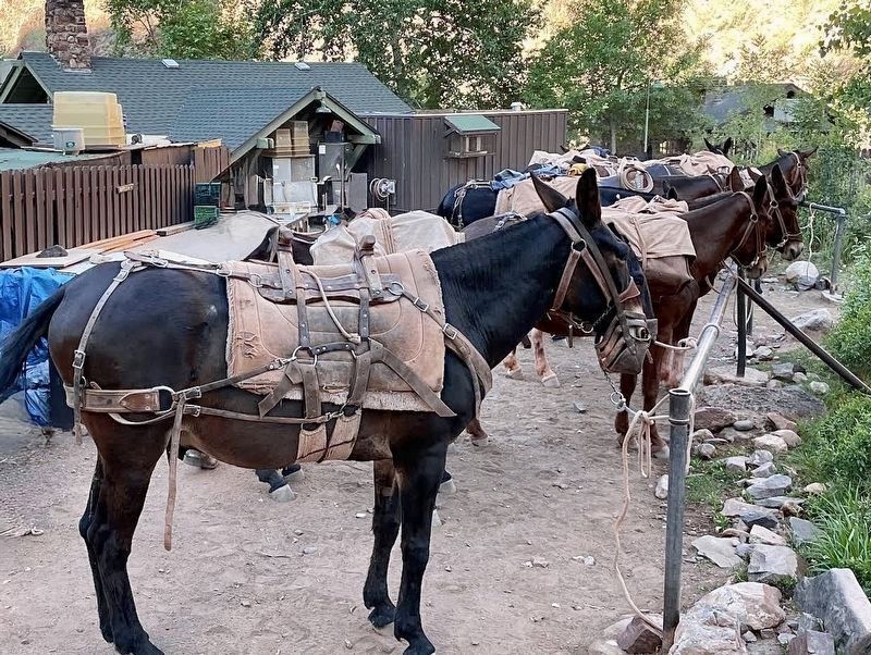
Photographed by Craig Baker
9. Transportation Services
Credits. This page was last revised on September 11, 2026. It was originally submitted on September 11, 2026, by Craig Baker of Sylmar, California. This page has been viewed 10 times since then. Photos: 1, 2, 3, 4, 5, 6, 7, 8, 9. submitted on September 11, 2026, by Craig Baker of Sylmar, California.
