
Alderwood in Toronto, Ontario — Central Canada (North America)
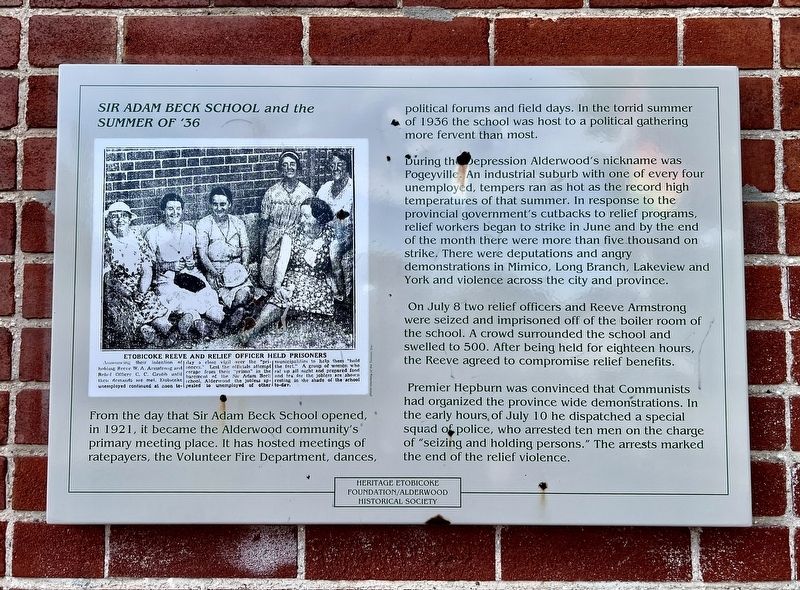
Sir Adam Beck School and the Summer of ‘36
Photographed by Tim Boyd, September 7, 2026
1. Sir Adam Beck School and the Summer of ‘36 Marker
During the Depression Alderwood's nickname was Pogeyville. An industrial suburb with one of every four unemployed, tempers ran as hot as the record high temperatures of that summer. In response to the provincial government's cutbacks to relief programs, relief workers began to strike in June and by the end of the month there were more than five thousand on strike. There were deputations and angry demonstrations in Mimico, Long Branch, Lakeview and York and violence across the city and province.
On July 8 two relief officers and Reeve Armstrong were seized and imprisoned off of the boiler room of the school. A crowd surrounded the school and swelled to 500. After being held for eighteen hours, the Reeve agreed to compromise relief benefits.
Premier Hepburn was convinced that Communists had organized
this page online
Erected by Heritage Etobicoke.
Topics. This historical marker is listed in these topic lists: Charity & Public Work • Law Enforcement. A significant historical year for this entry is 1936.
Location. 43° 36.071′ N, 79° 32.907′ W. Marker is in Toronto, Ontario. It is in Alderwood. It is at the intersection of Horner Avenue and Foch Avenue, on the right when traveling west on Horner Avenue. Touch for map. Marker is at or near this postal address: 544 Horner Avenue, Toronto ON M8W 4L9, Canada. Touch for directions.

Regionally, this marker is in Greater Toronto and on the Golden Horseshoe. It is also in Central Canada. Globally, it is in North America, on the Great Lakes, in the Western Hemisphere, in the Western World, and in the Anglosphere. Historically, it finds itself in what was once a British colony, the Viceroyalty of New France, the Haudenosaunee (Iroquois) Confederacy, and Rupert’s
Photographed by Tim Boyd, September 7, 2026
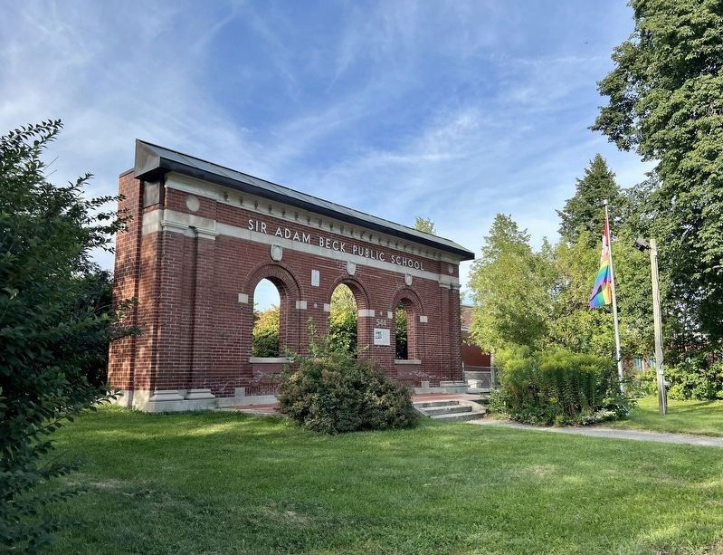
2. Sir Adam Beck School and the Summer of ‘36 Marker
Other nearby markers. At least 8 other markers are within 5 kilometers of this marker, measured as the crow flies: The O’Connor-Lafferty House (approx. 1.6 kilometers away); Hurricane Hazel (approx. 1.7 kilometers away); The Toronto Purchase (approx. 1.7 kilometers away); Marie Curtis Park (approx. 1.7 kilometers away); Long Branch Race Track (approx. 1.9 kilometers away); Canada’s First Aerodrome (approx. 2.6 kilometers away); Lakeshore Asylum Cemetery c.1890-1979 / Cimetière de l'asile du boulevard Lakeshore Vers 1890 a 1979 (approx. 3 kilometers away); Bell Telephone Company Building (approx. 3.5 kilometers away). Touch for a list and map of all markers in Toronto.
Photographed by Tim Boyd, September 7, 2026
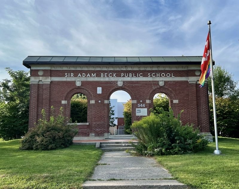
3. Sir Adam Beck School and the Summer of ‘36 Marker
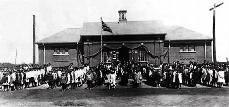
4. Sir Adam Beck School on its opening in 1921
etobicoke Historical Society (public domain)
Credits. This page was last revised on September 11, 2026. It was originally submitted on September 11, 2026, by Tim Boyd of Hamilton, Ontario. This page has been viewed 3 times since then. Photos: 1, 2, 3, 4. submitted on September 11, 2026, by Tim Boyd of Hamilton, Ontario. • Andrew Ruppenstein was the editor who published this page.
