
Long Branch in Toronto, Ontario — Central Canada (North America)
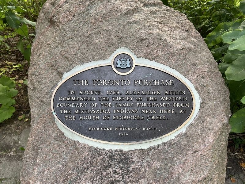
The Toronto Purchase
Photographed by Tim Boyd, September 7, 2026
1. The Toronto Purchase Marker
Erected 1988 by Etobicoke Historical Board.
Topics. This historical marker is listed in these topic lists: Indigenous Peoples and Communities • Political Subdivisions. A significant historical month for this entry is August 1788.
Location. 43° 35.194′ N, 79° 32.601′ W. Marker is in Toronto, Ontario. It is in Long Branch. It can be reached from Forty Second Street. The Marker is in Marie Curtis Park, near the main parking lot approx. 170 metres from the park entrance on Forty Second Street. Touch for map. Marker is at or near this postal address: 2 Forty Second Street, Toronto ON M8W 1C3, Canada. Touch for directions.

Regionally, this marker is in Greater Toronto and on the Golden Horseshoe. It is also in Central Canada. Globally, it is in North America, on the Great Lakes, in the Western Hemisphere, in the Western World, and in the Anglosphere. Historically, it finds itself in what was once a British colony, the Viceroyalty of New France, the Haudenosaunee (Iroquois) Confederacy, and Rupert’s Land.
Other nearby markers. At least 8 other markers are within 5 kilometers of this marker, measured as the crow flies: Hurricane Hazel
this page online
Also see . . . Toronto Purchase (Wikipedia). Overview:
The Toronto Purchase was the sale of lands in the Toronto area from the Mississaugas of New Credit to the British crown. An initial, disputed, agreement was made in 1787, in exchange for various items. The agreement was revisited in 1805, intended to clarify the area purchased. The agreement remained in dispute for over 200 years until 2010, when a settlement for the land was made between the Government of Canada and the Mississaugas for the land and other lands in the area.(Submitted on September 11, 2026.)
Photographed by Tim Boyd, September 7, 2026
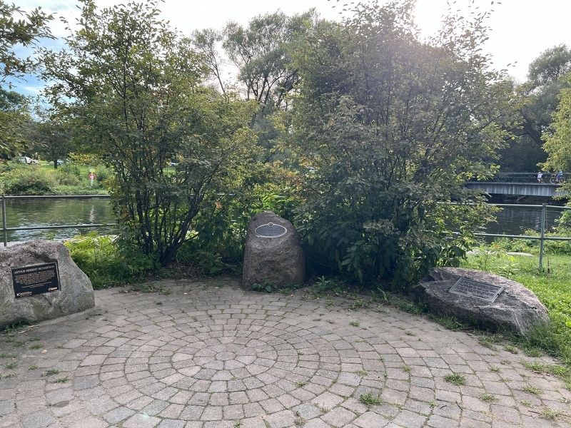
2. The Toronto Purchase Marker
Centre of photo
Photographed by Tim Boyd, September 7, 2026
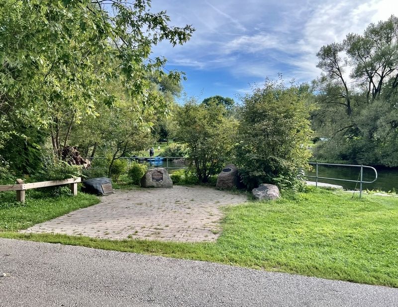
3. The Toronto Purchase Marker
The second marker from the right
September 11, 2026
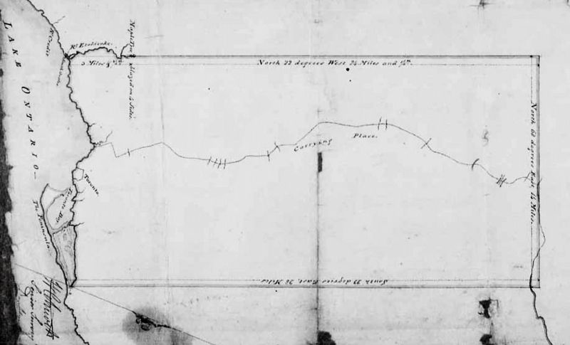
4. Plan of the Toronto Purchase, 1788
City of Toronto Archives (public domain)

Photographed by Tim Boyd, September 7, 2026
5. The mouth of Etobicoke Creek in 2026
Today part of Marie Curtis Park
Credits. This page was last revised on September 11, 2026. It was originally submitted on September 11, 2026, by Tim Boyd of Hamilton, Ontario. This page has been viewed 5 times since then. Photos: 1, 2, 3, 4, 5. submitted on September 11, 2026, by Tim Boyd of Hamilton, Ontario. • Andrew Ruppenstein was the editor who published this page.
