Thomasville in Thomas County, Georgia — The American South (South Atlantic)
Rufus Smith Log House
1870
Photographed by Cosmos Mariner, October 6, 2025
1. Rufus Smith Log House Marker
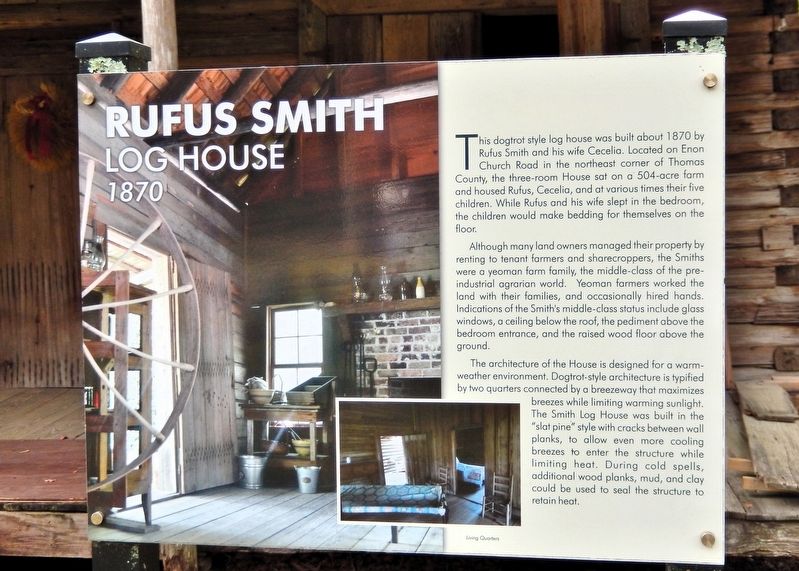
This dogtrot style log house was built about 1870 by Rufus Smith and his wife Cecelia. Located on Enon Church Road in the northeast corner of Thomas County, the three-room house sat on a 504-acre farm and housed Rufus, Cecelia, and at various times their five children. While Rufus and his wife slept in the bedroom, the children would make bedding for themselves on the floor.
Although many land owners managed their property by renting to tenant farmers and sharecroppers, the Smiths were a yeoman farm family, the middle-class of the preindustrial agrarian world. Yeoman farmers worked the land with their families, and occasionally hired hands. Indications of the Smith's middle-class status include glass windows, a ceiling below the roof, the pediment above the bedroom entrance, and the raised wood floor above the ground.
The architecture of the house is designed for a warm-weather environment. Dogtrot-style architecture is typified by two quarters connected by a breezeway that maximizes breezes while limiting warming sunlight. The Smith Log House was built in the “slat pine” style with cracks between wall planks, to allow
this page online
Erected by Thomasville History Center.
Topics. This historical marker is listed in these topic lists: Agriculture • Architecture • Settlements & Settlers. A significant historical year for this entry is 1870.
Location. 30° 50.738′ N, 83° 59.089′ W. Marker is in Thomasville, Georgia, in Thomas County. It can be reached from North Dawson Street just south of East Jerger Street, on the left when traveling north. The marker and Rufus Smith house are on the Thomasville History Center grounds. Touch for map. Marker is at or near this postal address: 725 North Dawson Street, Thomasville GA 31792, United States of America. Touch for directions.

Regionally, this marker is in Georgia’s Coastal Plain. It is also in the American South, specifically in the Deep South, and in the Wiregrass. Globally, it is in North America, the Western Hemisphere, the Western World, and the Anglosphere. Historically, it finds itself in what was once the territory

Photographed by Cosmos Mariner, October 6, 2025
2. Rufus Smith Log House Marker
Other nearby markers. At least 8 other markers are within walking distance of this marker: Welcome to the Smith Family Homestead (a few steps from this marker); Yeoman Tool Shed (a few steps from this marker); Flowers Playhouse (a few steps from this marker); How Did They Get Water? (a few steps from this marker); Oliver C. Ewart Bowling Alley (a few steps from this marker); O.C. Ewart Bowling Alley (within shouting distance of this marker); Roberts Family Garage (within shouting distance of this marker); Dixie Highway (within shouting distance of this marker). Touch for a list and map of all markers in Thomasville.
Related markers. Click here for a list of markers that are related to this marker. Smith Family Homestead

Photographed by Cosmos Mariner, October 6, 2025
3. Rufus Smith Log House

Photographed by Cosmos Mariner, October 6, 2025
4. Rufus Smith Log House
Credits. This page was last revised on September 12, 2026. It was originally submitted on September 11, 2026, by Cosmos Mariner of Cape Canaveral, Florida. This page has been viewed 6 times since then. Photos: 1, 2, 3, 4. submitted on September 12, 2026, by Cosmos Mariner of Cape Canaveral, Florida.
