Near Palmdale, California — The American West (Pacific Coastal)
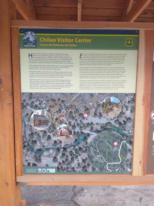
Chilao Visitor Center
Photographed by Tom Bosse, September 9, 2026
1. Chilao Visitor Center Marker
Find a shady spot and stay awhile. Nearby, a picnic area beneath Jeffrey pines and black oaks offers cool summer shade – and, in winter, a blanket of snow. (Closed November through April.)
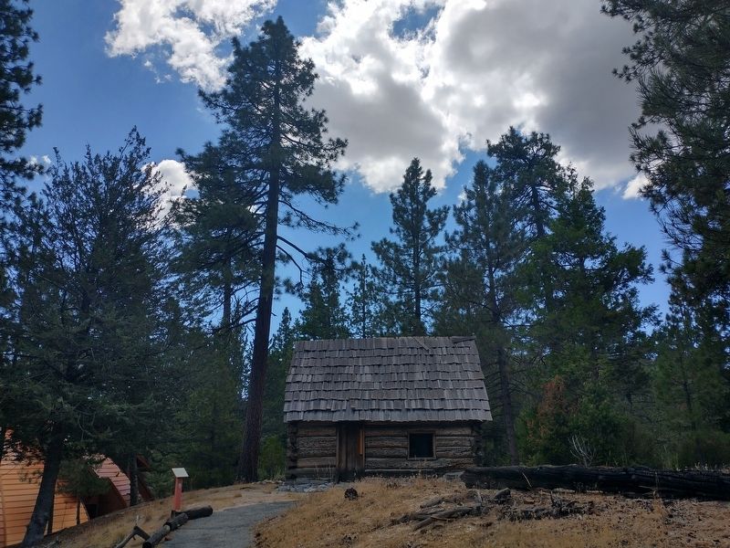
Behind the building stands the West Fork Ranger Station Cabin, built in 1900 – the first ranger station in the San Gabriel Mountains and the second in the nation. Once located where Shortcut Canyon meets the West Fork, it was moved and restored here in the 1980s.
Adventure continues just down the road. Chilao Campground lies a mile southwest, and the rugged Devil’s Canyon Trail begins nearby, following a willow-lined creek through a winding canyon carved by water and time. Two famous trails – the Pacific Crest Trail and the
this page online
Erected by U.S. Forest Service - Department of Agriculture.
Topics. This historical marker is listed in these topic lists: Horticulture & Forestry • Parks & Recreational Areas. A significant historical year for this entry is 1900.
Location. 34° 19.611′ N, 118° 0.304′ W. Marker is near Palmdale in , California. It can be reached from Angeles Crest Highway (California Route 2), on the left when traveling north. Marker is located near the Chilao Visitor Center. Touch for map. Touch for directions.

Regionally, it is in North America, the Pacific Rim, the Western Hemisphere, the Western World, and the Anglosphere. Historically, it finds itself in what was once New Spain and also Mexico’s Alta California.
Other nearby markers. At least 8 other markers are within 8 miles of this marker, measured as the crow flies: West Fork Ranger Station (about 300 feet away, measured in a direct line); D.A.R. Society’s Fiftieth Anniversary (approx. 1.9 miles away); Vetter Mountain Fire Lookout (approx. 2½ miles away);
Photographed by Tom Bosse, September 9, 2026
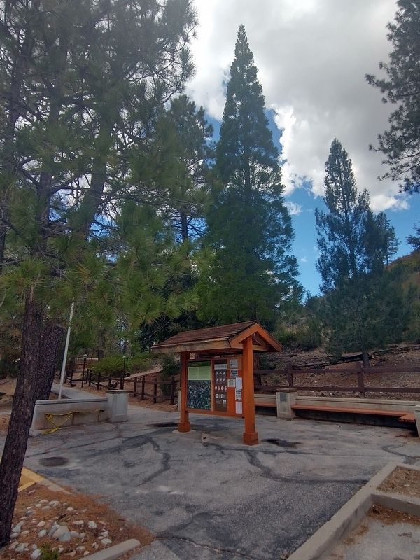
2. Chilao Visitor Center Marker
Related marker. Click here for another marker that is related to this marker.
Photographed by Tom Bosse, September 9, 2026
3. West Fork Ranger Station

Photographed by Tom Bosse, September 9, 2026
4. West Fork Ranger Station
Credits. This page was last revised on September 12, 2026. It was originally submitted on September 12, 2026, by Tom Bosse of Jefferson City, Tennessee. This page has been viewed 5 times since then. Photos: 1, 2, 3, 4. submitted on September 12, 2026, by Tom Bosse of Jefferson City, Tennessee. • Andrew Ruppenstein was the editor who published this page.
