Grantsville in Garrett County, Maryland — The American Northeast (Mid-Atlantic)
Grantsville
A Heritage of Hospitality
| — | The Road that Built The Nation | — |
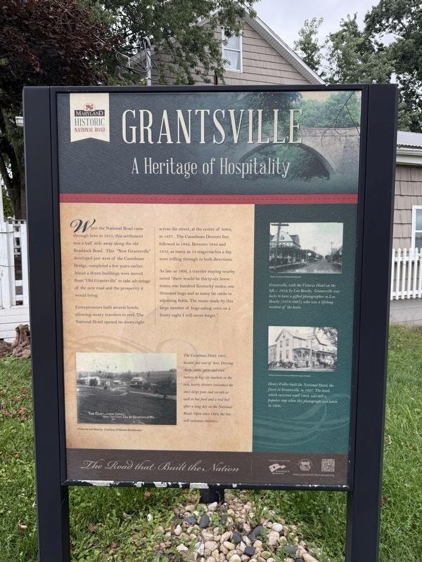
When the National Road came through here in 1815, this settlement was a half mile away along the old Braddock Road. This "New Grantsville" developed just west of the Casselman Bridge, completed a few years earlier. About a dozen buildings were moved from "Old Grantsville" to take advantage of the new road and prosperity it would bring..
Entrepreneurs built several hotels, allowing weary travelers to rest. The National Hotel opened its doors right across the street, at the center of town in 1837. The Casselman Drovers Inn followed in 1842. Between 1843 and 1852, as many as 14 stagecoaches a day were rolling through in both directions.
As late as 1892, a traveler staying nearby noted "there would be thirty-six horse teams, one hundred Kentucky mules, one thousand hogs and as many fat cattle in adjoining fields. The music made by this large number of hogs eating corn on a frosty night I will not forget."
[Captions:]
The Casselman Hotel, 1907, located just east of here. Driving sheep, cattle, geese and even turkeys to big city markets in the east, hearty drovers welcomed the inn's large pens and corrals as well as hot food and a real bed after a long day on the National Road. Open since 1824, the Inn still welcomes travelers.
Grantsville, with the Victoria Hotel on the left, c. 1912, by Leo Beachy. Grantsville was lucky to have a gifted photographer in Leo Beachy (1874-1927), who was a lifelong resident of the town.
Henry Fuller built the National Hotel, the finest in Grantsville, in 1837. The hotel, which survived until 1984, was still a popular shop when this photograph was taken in 1909.
Erected by Maryland
this page online
Topics and series. This historical marker is listed in these topic lists: Arts, Letters, Music • Industry & Commerce • Roads & Vehicles. In addition, it is included in the The Historic National Road series list. A significant historical year for this entry is 1815.
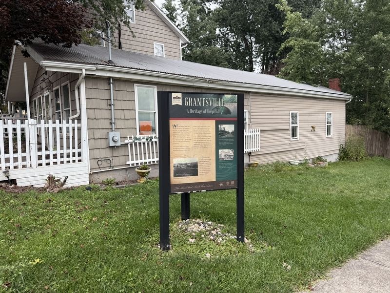
Location. 39° 41.836′ N, 79° 9.488′ W. Marker is in Grantsville, Maryland, in Garrett County. It is at the intersection of Main Street (Alternate U.S. 40) and Hershberger Lane, on the right when traveling west on Main Street. Touch for map. Marker is at or near this postal address: 173 Main St, Grantsville MD 21536, United States of America. Touch for directions.

Regionally, this marker is in Western Maryland. It is also in the American Mid-Atlantic, in Appalachia, and specifically in Northern Appalachia. Globally, it is in North America, the Western Hemisphere, the Western World, and the Anglosphere. Historically, it finds itself in what was once one of the original Thirteen Colonies.
Other nearby markers. At least 8 other markers are within walking distance of this marker:
Other markers no longer nearby. Grantsville (was about 300 feet away but has been replaced with another marker now near it); Leo J. Beachy (was about 600 feet away but has been replaced with another marker now near it).
Credits. This page was last revised on September 13, 2026. It was originally submitted on September 13, 2026, by Devry Becker Jones of Washington, District of Columbia. This page has been viewed 9 times since then. Photos: 1, 2. submitted on September 13, 2026, by Devry Becker Jones of Washington, District of Columbia.
