Pride near Tuscumbia in Colbert County, Alabama — The American South (East South Central)
Caney Creek Chickasaw School
Photographed by Deborah Spencer, September 12, 2026
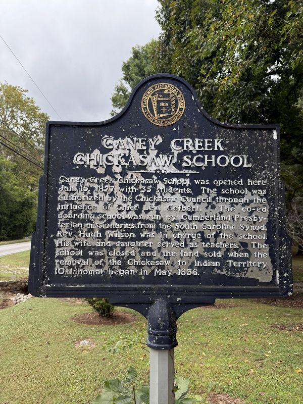
1. Caney Creek Chickasaw School Marker
Caney Creek Chickasaw School was opened here Jan 15, 1827 with 35 students. The school was authorized by the Chickasaw Council through the influence of Chief Levi Colbert. The co-ed boarding school was run by Cumberland Presbyterian missionaries from the South Carolina Synod. Rev. Hugh Wilson was in charge of the school. His wife and daughter served as teachers. The school was closed and the land sold when the removal of the Chickasaw to Indian Territory (Oklahoma) began in May 1836.
Erected by Florence Historical Board.
Topics. This historical marker is listed in these topic lists: Education • Indigenous Peoples and Communities. A significant historical month for this entry is May 1836.
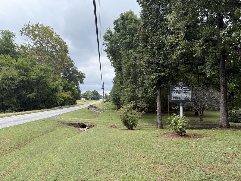
Location. 34° 42.585′ N, 87° 51.85′ W. Marker is near Tuscumbia, Alabama, in Colbert County. It is in Pride. It is on Red Rock Road 1½ miles south of U.S. 72, on the left when traveling south. Marker is located about 1.5 miles south of US Highway 72 on Red Rock Road, on the left just past the bridge over Cornelius Creek. Touch for map. Marker is at or near this postal address: 2190 Red Rock Rd, Tuscumbia AL 35674, United States
this page online

Regionally, this marker is in North Alabama and in the Shoals. It is also in the American South, specifically in the Deep South, in Appalachia, and specifically in Southern Appalachia. Globally, it is in North America, a Gulf of Mexico state, the Western Hemisphere, the Western World, and the Anglosphere. Historically, it finds itself in what was once the territory of the Mississippian Culture, one of the Confederate States of America, and the Antebellum South.
Other nearby markers. At least 8 other markers are within 9 miles of this marker, measured as the crow flies: Civil War Skirmish at The Barton Cemetery / Civil War Skirmishes at Barton (approx. 2.1 miles away); Chickasaw Indian Agency (approx. 6 miles away); Cherokee High School (approx. 6.2 miles away); History of Cherokee (approx. 7 miles away); Barton Hall (approx. 8.4 miles away); Village One (approx. 8.7 miles away); The Blues Trail: Mississippi to Alabama (approx. 8.9 miles away); Mhoontown Cemetery (approx. 9 miles away). Touch for a list and map of all markers in Tuscumbia.
Another marker is no longer nearby. Engagement at Little Bear Creek
Photographed by Deborah Spencer, September 12, 2026
2. Caney Creek Chickasaw School Marker
Credits. This page was last revised on September 14, 2026. It was originally submitted on September 13, 2026, by Deborah Spencer of Huntsville, Alabama. This page has been viewed 11 times since then. Photos: 1, 2. submitted on September 13, 2026, by Deborah Spencer of Huntsville, Alabama. • James Hulse was the editor who published this page.
