Ashford in Pierce County, Washington — The American West (Northwest)
Narada Falls
Photographed by Bill Coughlin, September 7, 2026
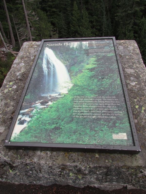
1. Narada Falls Marker
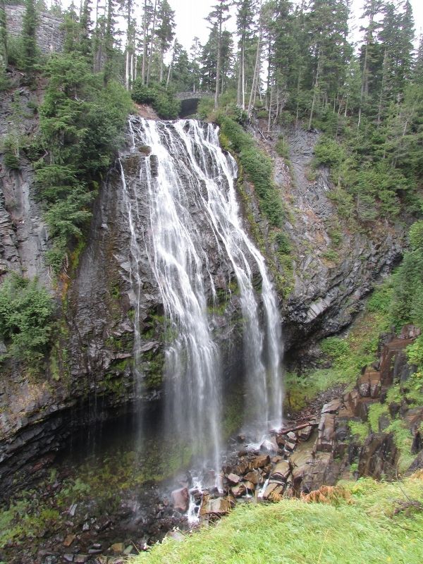
At the end of the short trail. the entire 168-foot-high waterfall is visible. The vista is not only about dramatically falling water but also the rock that creates the steep drop. Here the Paradise River plunges over the edge of a relatively recent flow of hard andesite lava that abuts much older rock. This lava’s cooling was accelerated by contact with the icy surface of the glacier that once filled this valley.
Topics. This historical marker is listed in this topic list: Natural Features.
Location. 46° 46.499′ N, 121° 44.785′ W. Marker is in Ashford, Washington, in Pierce County. It is on Paradise Valley Road E, on the left when traveling south. Marker is located in the Narada Falls parking lot. Touch for map. Marker is in this post office area: Ashford WA 98304, United States of America. Touch for directions.

Regionally, this marker is in the Puget Sound Region and in Greater Seattle. It is also on the American Pacific Coast, in the Pacific Northwest, and in the Lewis & Clark Corridor. Globally, it is in North America, in the Cascade Range, in the Inside Passage,
this page online
Other nearby markers. At least 8 other markers are within walking distance of this marker: A different marker also named Narada Falls (within shouting distance of this marker); Historic Paradise Camp Lodge (approx. 0.9 miles away); An Ancient Community (approx. 0.9 miles away); Exploring Paradise (approx. 0.9 miles away); Paradise Ranger Station (approx. 0.9 miles away); Climbers’ Guide House (approx. one mile away); Rescuing Reflection Lakes (approx. one mile away); Extreme Snowfall (approx. one mile away). Touch for a list and map of all markers in Ashford.
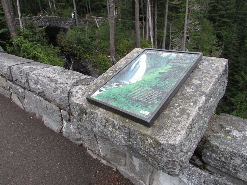
More about this marker. The marker features a picture of Narada Falls.
Photographed by Bill Coughlin, September 7, 2026
2. Narada Falls Marker
Photographed by Bill Coughlin, September 7, 2026
3. Narada Falls
Credits. This page was last revised on September 13, 2026. It was originally submitted on September 13, 2026, by Bill Coughlin of Woodland Park, New Jersey. This page has been viewed 9 times since then. Photos: 1, 2, 3. submitted on September 13, 2026, by Bill Coughlin of Woodland Park, New Jersey.
