Ridgeley in Mineral County, West Virginia — The American South (Appalachia)
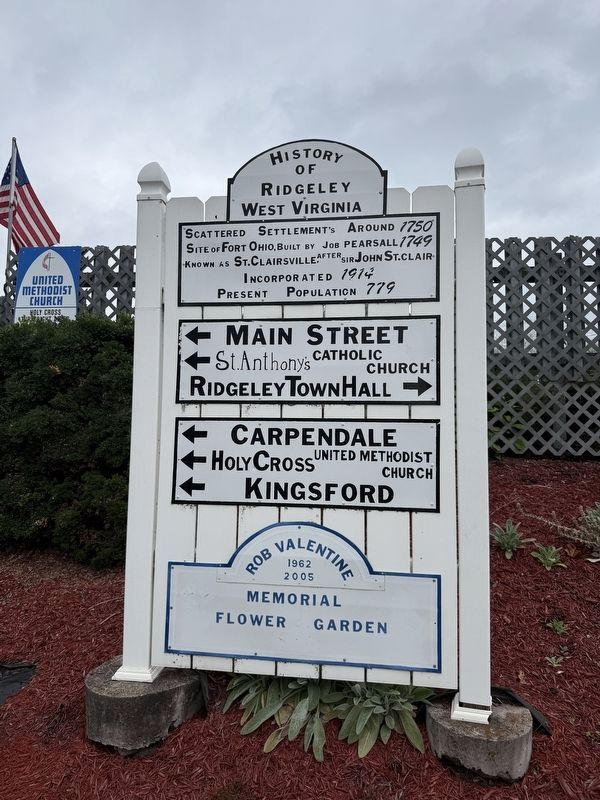
History of Ridgeley West Virginia
Photographed by Devry Becker Jones (CC0), September 12, 2026
1. History of Ridgeley West Virginia Marker
Site of Fort Ohio, built by Job Pearsall 1749
Known as St. Clairsville, after Sir John St. Clair
Incorporated 1914
Present population 779
← Main Street
← St. Anthony's Catholic Church
Ridgeley Town Hall →
← Carpendale
← Holy Cross United Methodist Church
← Kingsford
Rob Valentine
1962
2005
Memorial
Flower Garden
Topics. This historical marker is listed in these topic lists: Colonial Era • Settlements & Settlers. A significant historical year for this entry is 1750.
Location. 39° 38.703′ N, 78° 46.151′ W. Marker is in Ridgeley, West Virginia, in Mineral County. It is at the intersection of Main Street and Mineral Street, on the right when traveling west on Main Street. Touch for map. Marker is at or near this postal address: 21 Knobley St, Ridgeley WV 26753, United States of America. Touch for directions.

Regionally, this marker is in the Eastern Panhandle. It is also in the American South, specifically in the Upper South, in Appalachia, and specifically in Northern Appalachia. Globally, it is in North America, the Western
this page online
Other nearby markers. At least 8 other markers are within walking distance of this marker: Ridgeley Honor Roll (a few steps from this marker); William E. Shuck Jr. Memorial (within shouting distance of this marker); In Memory (about 600 feet away, measured in a direct line); Combined Veterans Memorial (approx. 0.2 miles away); William Edward Shuck, Jr. (approx. ¼ mile away); Fort Ohio (approx. ¼ mile away); Explore a Trail Network (approx. 0.3 miles away in Maryland); A Home on the Boat—The Captain's Cabin (approx. 0.3 miles away in Maryland). Touch for a list and map of all markers in Ridgeley.
Photographed by Devry Becker Jones (CC0), September 12, 2026
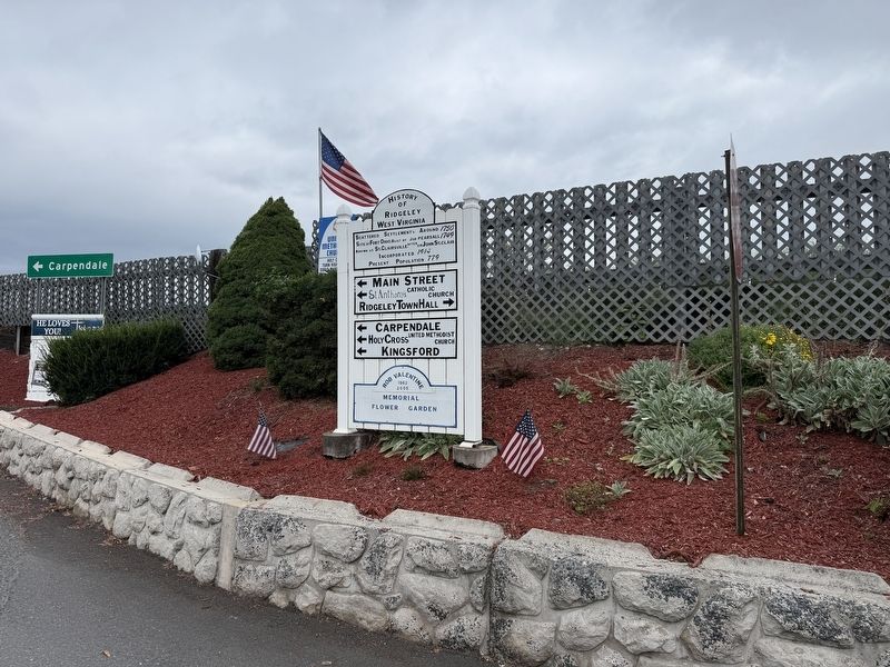
2. History of Ridgeley West Virginia Marker
Credits. This page was last revised on September 13, 2026. It was originally submitted on September 13, 2026, by Devry Becker Jones of Washington, District of Columbia. This page has been viewed 6 times since then. Photos: 1, 2. submitted on September 13, 2026, by Devry Becker Jones of Washington, District of Columbia.
