Boswell in Somerset County, Pennsylvania — The American Northeast (Mid-Atlantic)
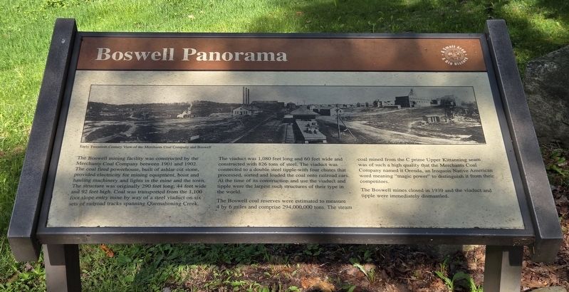
Boswell Panorama
Photographed by Bradley Owen, August 26, 2026
1. Boswell Panorama Marker
The Boswell mining facility was constructed by the Merchants Coal Company between 1901 and 1902. The coal fired powerhouse, built of ashlar cut stone, provided electricity for mining equipment, hoist and hauling machinery and lights in the mine and the town. The structure was originally 290 feet long, 44 feet wide and 92 feet high. Coal was transported from the 1,100 foot slope entry mine by way of a steel viaduct on six sets of railroad tracks spanning Quemahoning Creek. The viaduct was 1,080 feet long and 60 feet wide and constructed with 826 tons of steel. The viaduct was connected to a double steel tipple with four chutes that processed, sorted and loaded the coal onto railroad cars. At the time of its construction and use the viaduct and tipple were the largest such structures of their type in the world.
The Boswell coal reserves were estimated to measure 4 by 6 miles and comprise 294,000,000 tons. The steam coal mined from the C prime Upper Kittanning seam was of such a high quality that the Merchants Coal Company named it Orenda, an Iroquois Native American word meaning "magic power" to distinguish it from their
this page online
The Boswell mines closed in 1939 and the viaduct and tipple were immediately dismantled.
(Caption):
Early Twentieth Century View of the Merchants Coal Company and Boswell
Erected by Boswell Area Historical Society.
Topics. This historical marker is listed in these topic lists: Indigenous Peoples and Communities • Industry & Commerce. A significant historical year for this entry is 1901.
Location. 40° 9.92′ N, 79° 1.808′ W. Marker is in Boswell, Pennsylvania, in Somerset County. It can be reached from Penn Avenue (Pennsylvania Route 601) north of Blacks Hill Road (Local Route 735), on the right when traveling north. Marker is located in Orenda Park. Touch for map. Marker is at or near this postal address: 3421 Penn Avenue, Boswell PA 15531, United States of America. Touch for directions.

Regionally, this marker is in Pennsylvania’s Laurel Highlands. It is also in the American Northeast, in the Mid-Atlantic, in Appalachia, and specifically in Northern Appalachia. Globally, it is in North America, the Western Hemisphere, the Western World, and the Anglosphere. Historically, it finds itself
Photographed by Bradley Owen, August 26, 2026
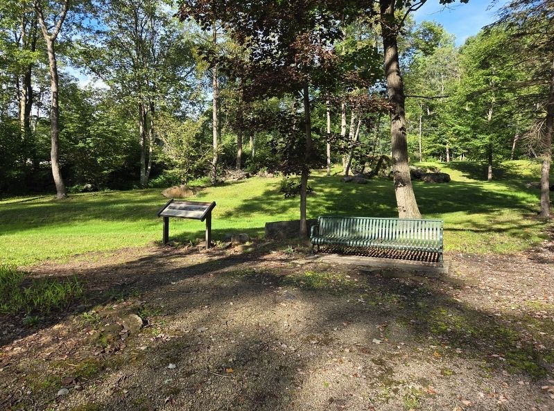
2. Boswell Panorama Marker
Other nearby markers. At least 8 other markers are within 2 miles of this marker, measured as the crow flies: Town of Boswell (within shouting distance of this marker); Thomas Boswell (within shouting distance of this marker); Boswell Brick Plant (within shouting distance of this marker); Jenner Brewing Company Bricks (within shouting distance of this marker); Industrial Heritage Along the Lincoln Highway (within shouting distance of this marker); Boswell Legion Veterans Memorial (approx. 0.2 miles away); Highway Attractions (approx. 1.6 miles away); Log Grist Mill (approx. 1.6 miles away). Touch for a list and map of all markers in Boswell.
Photographed by Bradley Owen, August 26, 2026
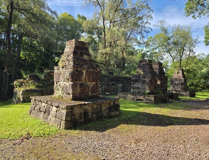
3. Reconstructed Tipple Supports in Orenda Park
Credits. This page was last revised on September 14, 2026. It was originally submitted on September 14, 2026, by Bradley Owen of Morgantown, West Virginia. This page has been viewed 8 times since then. Photos: 1, 2, 3. submitted on September 14, 2026, by Bradley Owen of Morgantown, West Virginia.
