Juneau in Juneau Borough, Alaska — Northwest (North America)
Patterns in a Changing Landscape
Photographed by Bill Coughlin, September 1, 2026
1. Patterns in a Changing Landscape Marker
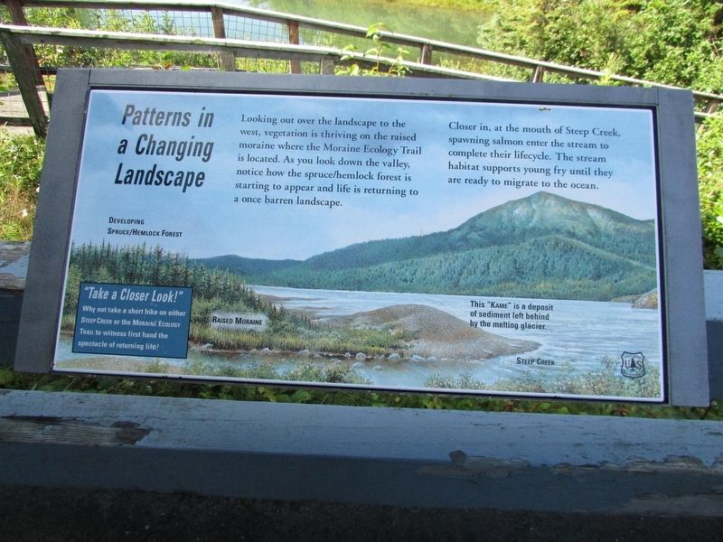
Looking out over the landscape to the west, vegetation is thriving on the raised moraine where the Moraine Ecology Trail is located. As you look down the valley, notice how the spruce/hemlock forest is starting to appear and life is returning to a once barren landscape.
Closer in, at the mouth of Steep Creek, spawning salmon enter the stream to complete their lifecycle. The stream habitat supports young fry until they are ready to migrate to the ocean.
Topics. This historical marker is listed in this topic list: Natural Features.
Location. 58° 25.023′ N, 134° 32.862′ W. Marker is in Juneau, Alaska, in Juneau Borough. It can be reached from Glacier Spur Road, on the left when traveling north. Marker is located in the Mendenhall Glacier Terrace View area. Touch for map. Marker is at or near this postal address: 6000 Glacier Spur Road, Juneau AK 99801, United States of America. Touch for directions.

Regionally, this marker is in Southeast Alaska, in Tlingit and Haida & Tsimshian Region. It is also on the American Pacific Coast. Globally, it is in North America, in the
this page online
Other nearby markers. At least 8 other markers are within walking distance of this marker: Features in a Glacial Landscape (a few steps from this marker); A Valley Air Conditioned by Ice (a few steps from this marker); Recolonizing Plants Create Patterns of Change (about 500 feet away, measured in a direct line); Naturally Designed for Salmon (about 600 feet away); A Flat Spot in the Forest (approx. 0.3 miles away); Presidential Party Visits Glacier (approx. 0.3 miles away); Water from a Rock (approx. 0.3 miles away); A View in Time (approx. 0.3 miles away). Touch for a list and map of all markers in Juneau.
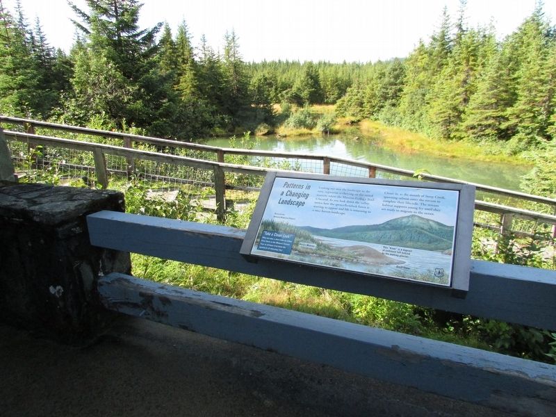
More about this marker. The marker contains a picture of the view from the marker and features mentioned on the marker, including Developing Spruce/Hemlock Forest; Raised Moraine; This “Kame” is a deposit of sediment left behind by the melting glacier; and Steep Creek.
Photographed by Bill Coughlin, September 1, 2026
2. Patterns in a Changing Landscape Marker

Photographed by Bill Coughlin, September 1, 2026
3. Mendenhall Glacier and vicinity
Credits. This page was last revised on September 14, 2026. It was originally submitted on September 14, 2026, by Bill Coughlin of Woodland Park, New Jersey. This page has been viewed 7 times since then. Photos: 1, 2, 3. submitted on September 14, 2026, by Bill Coughlin of Woodland Park, New Jersey.
