Liberty Township near North Liberty in St. Joseph County, Indiana — The American Midwest (Great Lakes)
The Naragon Barn
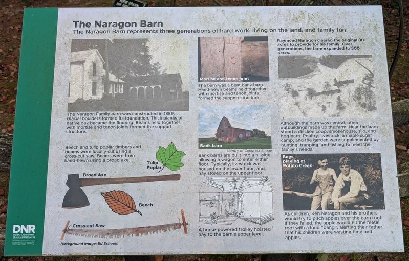
The Naragon Barn represents three generations of hard work, living on the land, and family fun.
Photographed by Daniel Barriball, September 12, 2026
1. The Naragon Barn Marker
Raymond Naragon cleared the original 80 acres to provide for his family. Over generations, the farm expanded to 500 acres.
The Naragon Family barn was constructed in 1889. Glacial boulders formed its foundation. Thick planks of native oak became the flooring. Beams held together with mortise and tenon joints formed the support structure.
Beech and tulip poplar timbers and beams were locally cut using a cross-cut saw. Beams were then hand-hewn using a broad axe.
The barn was a bent bank barn. Hand-hewn beams held together with mortise and tenon joints formed the support structure.
Bank barns are built into a hillside allowing a wagon to enter either floor. Typically, livestock was housed on the lower floor, and hay stored on the upper floor.
A horse-powered trolley hoisted hay to the barn's upper level.
Although the barn was central, other outbuildings made up the farm. Near the barn stood a chicken coop, smokehouse, silo, and hog barn. Poultry, livestock, a maple sugar camp, and the garden were supplemented by hunting, trapping, and fishing to meet the family's needs.
As children, Ken Naragon and his brothers would
this page online
Erected 2026 by Indiana Department of Natural Resources, Indiana State Parks.
Topics. This historical marker is listed in these topic lists: Agriculture • Settlements & Settlers. A significant historical year for this entry is 1889.
Location. 41° 33.263′ N, 86° 21.415′ W. Marker is near North Liberty, Indiana, in St. Joseph County. It is in Liberty Township. It is on West Worster Parkway near Primrose Road, on the right when traveling east. This marker stands outside the nature center in Potato Creek State Park. Touch for map. Marker is at or near this postal address: 25350 W Worster Pkwy, North Liberty IN 46554, United States of America. Touch for directions.

Regionally, this marker is in Northern Indiana and in Greater South Bend. It is also in the American Midwest and in the Corn Belt. Globally, it is in North America, the Western Hemisphere, the Western World, and the Anglosphere. Historically, it finds itself in what was once the
Photographed by Daniel Barriball, September 12, 2026
2. The Naragon Barn Marker in context
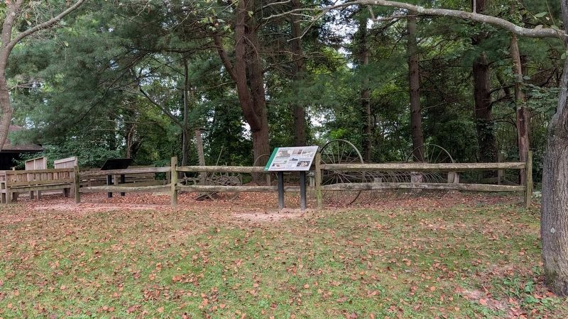
The back of the Farming Potato Creek marker can be seen on the left side of the photo.
Other nearby markers. At least 8 other markers are within 3 miles of this marker, measured as the crow flies: Farming Potato Creek (here, next to this marker); The Springhouse (approx. 0.4 miles away); Porter (Rea) Cemetery (approx. half a mile away); Shuppert/Shupert Family (approx. ¾ mile away); People Make the Difference (approx. 1.3 miles away); A Champion of Farmland to Parkland (approx. 1.3 miles away); Indiana State Parks: the First 100 Years 1916-2016 (approx. 1.3 miles away); Huggart Settlement (approx. 2.7 miles away). Touch for a list and map of all markers in North Liberty.
Another marker is no longer nearby. Farm Equipment (was here, next to this marker but has been permanently removed).
Credits. This page was last revised on September 16, 2026. It was originally submitted on September 15, 2026, by Daniel Barriball of Chesterton, Indiana. This page has been viewed 8 times since then. Photos: 1, 2. submitted on September 15, 2026, by Daniel Barriball of Chesterton, Indiana. • Andrew Ruppenstein was the editor who published this page.
