Johnstown in Cambria County, Pennsylvania — The American Northeast (Mid-Atlantic)
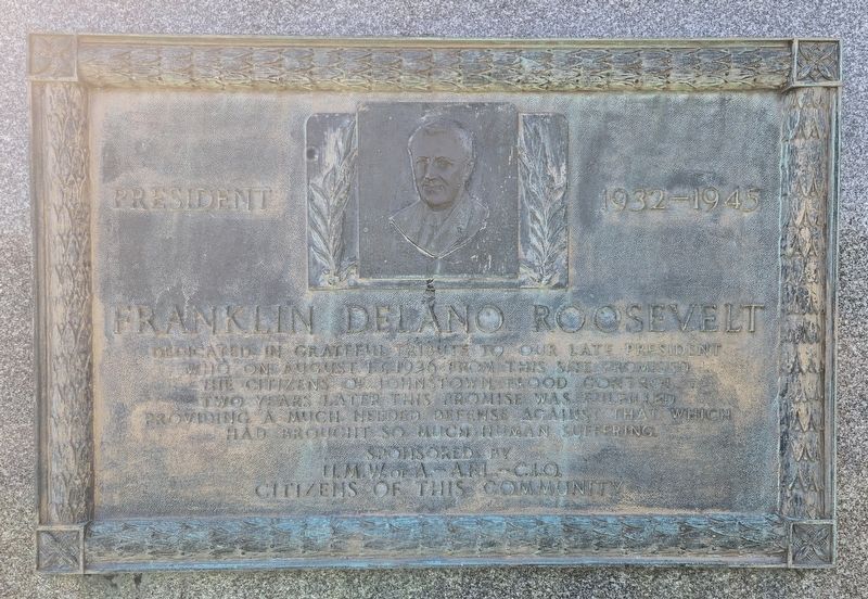
Franklin Delano Roosevelt
President 1932 - 1945
Photographed by Bradley Owen, August 26, 2026
1. Franklin Delano Roosevelt Marker
Dedicated in grateful tribute to our late President who on August 13, 1936 from this site promised the citizens of Johnstown, flood control. Two years later this promise was fulfilled providing a much needed defense against that which had brought so much human suffering.
Erected by United Mine Workers of America, AFL-CIO and the Citizens of Johnstown, PA.
Topics and series. This historical marker is listed in these topic lists: Disasters • Notable Events. In addition, it is included in the Former U.S. Presidents: #32 Franklin D. Roosevelt series list. A significant historical date for this entry is August 13, 1936.
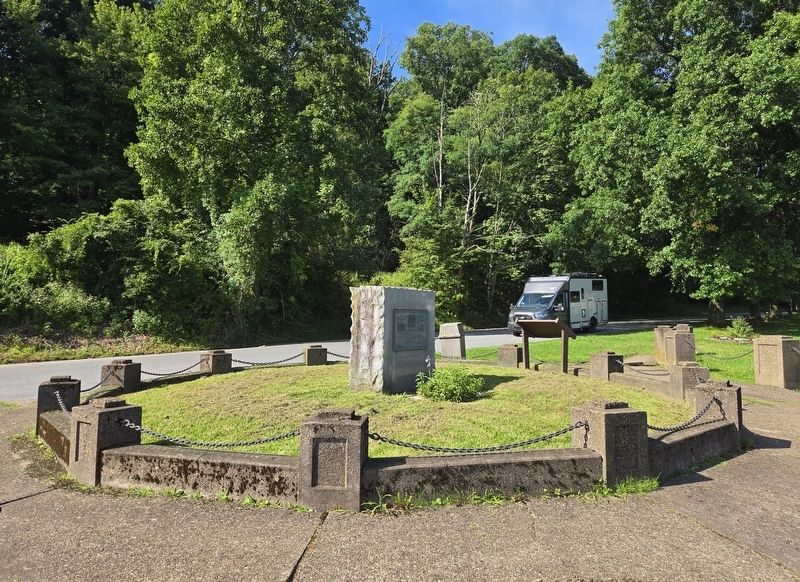
Location. 40° 17.65′ N, 78° 55.52′ W. Marker is in Johnstown, Pennsylvania, in Cambria County. It is on Park Drive 0.1 miles east of Berkley Road, on the left when traveling east. Park Drive is a one-way street that only heads east at this location. Touch for map. Marker is at or near this postal address: 152 Park Drive, Johnstown PA 15905, United States of America. Touch for directions.

Regionally, this marker is in Pennsylvania’s Laurel Highlands. It is also in the American Northeast, in the Mid-Atlantic,
this page online
Other nearby markers. At least 8 other markers are within 2 miles of this marker, measured as the crow flies: Roxbury (here, next to this marker); Jim Mayer Trail Park (approx. 0.4 miles away); George Lucas (approx. 1.1 miles away); Union Cemetery Marker (approx. 1.1 miles away); Samuel Cole (approx. 1.1 miles away); Chapin Arch (approx. 1.4 miles away); 1889 Johnstown Flood Unidentified Dead (approx. 1½ miles away); Johnstown Civil War Memorial (approx. 1½ miles away). Touch for a list and map of all markers in Johnstown.
Regarding Franklin Delano Roosevelt. True to his word to the more than 20,000 people in attendance, Roosevelt's visit catalyzed massive federal intervention. Under the newly signed Flood Control Act of 1936, his administration authorized the U.S. Army Corps of Engineers to undertake the Johnstown Local Flood Protection
Photographed by Bradley Owen, August 26, 2026
2. Franklin Delano Roosevelt Marker
Credits. This page was last revised on September 15, 2026. It was originally submitted on September 15, 2026, by Bradley Owen of Morgantown, West Virginia. This page has been viewed 12 times since then. Photos: 1, 2. submitted on September 15, 2026, by Bradley Owen of Morgantown, West Virginia.
