Moxham in Johnstown in Cambria County, Pennsylvania — The American Northeast (Mid-Atlantic)
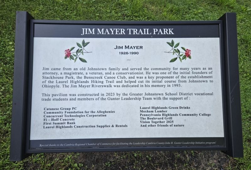
Jim Mayer Trail Park
Photographed by Bradley Owen, August 26, 2026
1. Jim Mayer Trail Park Marker
1926-1990
Jim came from an old Johnstown family and served the community for many years as an attorney, a magistrate, a veteran, and a conservationist. He was one of the initial founders of Stackhouse Park, the Benscreek Canoe Club, and was a key proponent of the establishment of the Laurel Highlands Hiking Trail and helped cut its initial course from Johnstown to Ohiopyle. The Jim Mayer Riverswalk was dedicated in his memory in 1993.
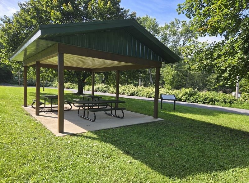
This pavilion was constructed in 2023 by the Greater Johnstown School District vocational trade students and members of the Gunter Leadership Team with the support of:
Erected by The Cambria Regional Chamber of Commerce.
Topics. This historical marker is listed in these topic lists: Charity & Public Work
this page online
Location. 40° 17.586′ N, 78° 55.051′ W. Marker is in Johnstown, Pennsylvania, in Cambria County. It is in Moxham. It is on Clover Street north of Thorn Place, on the left when traveling west. Touch for map. Marker is at or near this postal address: 81 Clover Street, Johnstown PA 15902, United States of America. Touch for directions.

Regionally, this marker is in Pennsylvania’s Laurel Highlands. It is also in the American Northeast, in the Mid-Atlantic, in Appalachia, and specifically in Northern Appalachia. Globally, it is in North America, the Western Hemisphere, the Western World, and the Anglosphere. Historically, it finds itself in what was once the Haudenosaunee (Iroquois) Confederacy and also one of the original Thirteen Colonies.
Other nearby markers. At least 8 other markers are within 3 miles of this marker, measured as the crow flies: Franklin Delano Roosevelt (approx. 0.4 miles away); Roxbury (approx. 0.4 miles away); Chapin Arch (approx. 1.4 miles away); 1889 Johnstown Flood Unidentified Dead (approx. 1.6
Photographed by Bradley Owen, August 26, 2026
2. Jim Mayer Trail Park Marker
Credits. This page was last revised on September 15, 2026. It was originally submitted on September 15, 2026, by Bradley Owen of Morgantown, West Virginia. This page has been viewed 6 times since then. Photos: 1, 2. submitted on September 15, 2026, by Bradley Owen of Morgantown, West Virginia.
