Pipe Creek Township in Grissom Air Force Base in Miami County, Indiana — The American Midwest (Great Lakes)
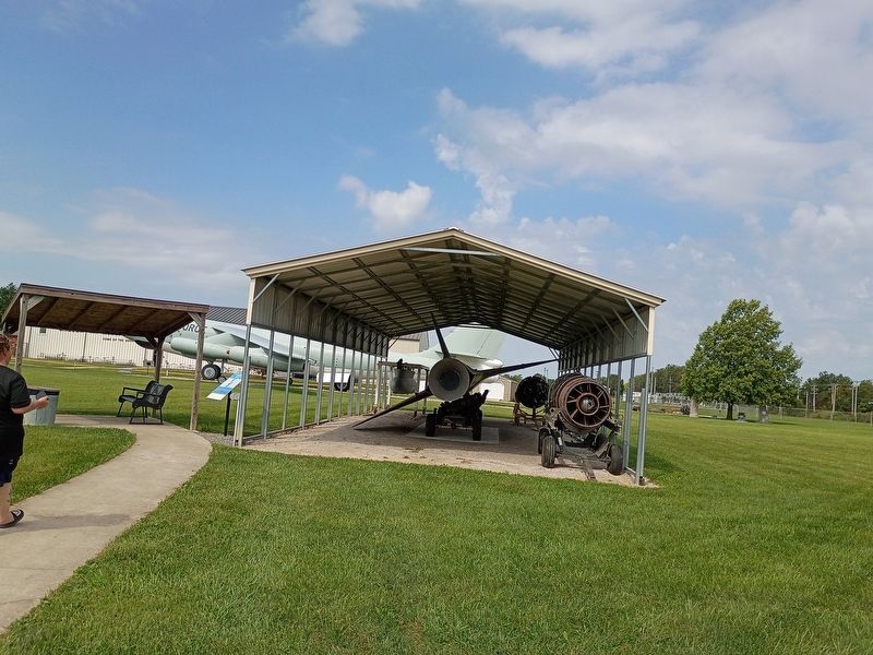
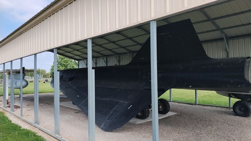
Lockheed D-21
D21B #528
| — | Grissom Air Museum | — |
Photographed by Craig Doda, September 5, 2026
1. Lockheed D-21 Marker
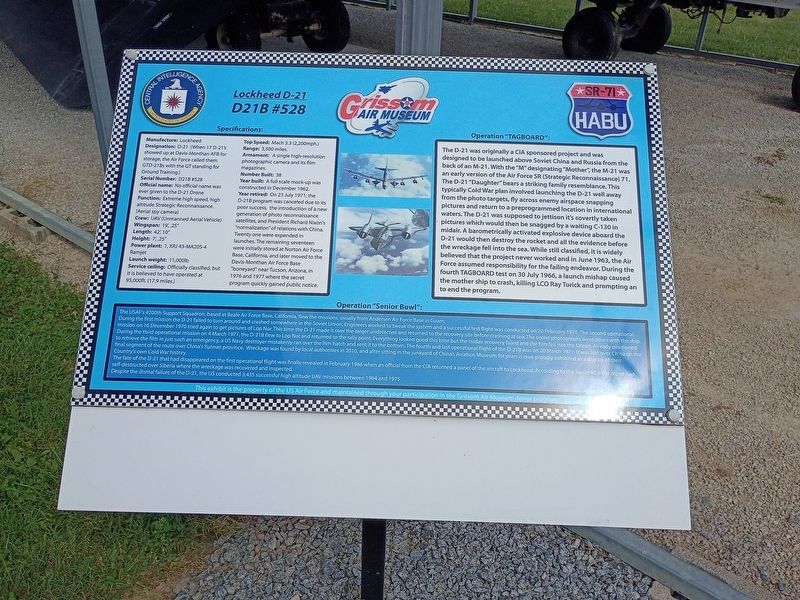
Manufacture: Lockheed
Designation: D-21 (When 17 D-21's showed up at Davis-Monthan AFB for storage, the Air Force called them GTD-21Bs with the GT standing for Ground Training.)
Serial Number: D21B #528
Official name: No official name was ever given to the D-21 Drone
Function: Extreme high speed, high altitude Strategic Reconnaissance. (Aerial spy camera)
Crew: UAV (Unmanned Aerial Vehicle) Wingspan: 19,.25"
Length: 42, 10"
Height: 7,.25"
Power plant: 1, XRJ 43-MA20S-4 Ramjet
Launch weight: 11,000lb
Service ceiling: Officially classified, but it is believed to have operated at 95,000ft. (17.9 miles.)
Top Speed: Mach 3.3 (2,200mph.)
Range: 3,500 miles.
Armament: A single high-resolution photographic camera and its film magazines.
Number Built: 38
Year built: A full scale mock-up was constructed in December 1962. Year retired: On 23 July 1971, the D-21B program was canceled due to its poor success, the introduction of a new generation of photo reconnaissance satellites, and President Richard Nixon's "normalization" of relations with China. Twenty one were expended in launches. The remaining
this page online
Operation "TAGBOARD":
The D-21 was originally a CIA sponsored project and was designed to be launched above Soviet China and Russia from the back of an M-21. With the "M" designating "Mother", the M-21 was an early version of the Air Force SR (Strategic Reconnaissance) 71. The D-21 "Daughter" bears a striking family resemblance. This typically Cold War plan involved launching the D-21 well away from the photo targets, fly across enemy airspace snapping pictures and return to a preprogrammed location in international waters. The D-21 was supposed to jettison it's covertly taken pictures which would then be snagged by a waiting C-130 in midair. A barometrically activated explosive device aboard the D-21 would then destroy the rocket and all the evidence before the wreckage fell into the sea. While still classified, it is widely believed that the project never worked and in June 1963, the Air Force assumed responsibility
Photographed by Craig Doda, September 5, 2026
2. Lockheed D-21 Marker
Operation "Senior Bowl":
The USAF's 4200th Support Squadron, based at Beale Air Force Base, California, flew the missions, usually from Andersen Air Force Base in Guam.
During the first mission the D-21 failed to turn around and crashed somewhere in the Soviet Union. Engineers worked to tweak the system and a successful test flight was conducted on 20 February 1970. The second operational mission on 16 December 1970 tried again to get pictures of Lop Nor. This time the D-21 made it over the target undetected and returned to the recovery site before crashing at sea. The secret photographs went down with the ship. During the third operational mission on 4 March 1971, the D-218 flew to Lop Nor and returned to the rally point. Everything looked good this time but the midair recovery failed and the film fell into the Ocean. Already positioned to retrieve the film in just such an emergency, a US Navy destroyer mistakenly ran over the film hatch and sent it
Photographed by Craig Doda, September 5, 2026
3. Lockheed D-21 Marker
The fate of the D-21 that had disappeared on the first operational flight was finally revealed in February 1986 when an official from the CIA returned a panel of the aircraft to Lockheed. According to the Soviet KGB the drone had self-destructed over Siberia where the wreckage was recovered and inspected.
Despite the dismal failure of the D-21, the US conducted 3,435 successful high altitude UAV missions between 1964 and 1975.
This exhibit is the property of the US Air Force and maintained through your participation in the Grissom Air Museum donor program.
Erected by Grissom Air Museum.
Topics. This historical marker is listed in these topic lists: Air & Space • Military • War, Cold. A significant historical date for this entry is February 20, 1970.
Location. 40° 40.176′ N, 86° 7.796′ W. Marker is in Grissom Air Force Base, Indiana, in Miami County. It is in Pipe Creek Township. It is at the intersection of West Hoosier Boulevard and U.S. 31, on the right when traveling west on West Hoosier Boulevard. Touch for map. Marker is at or near this postal address: 1000 W Hoosier Boulevard, Peru IN 46970, United States of America. Touch for directions.

Regionally, this marker is in Northern Indiana. It is also in the American Midwest and in the Corn Belt. Globally, it is in North America, the Western Hemisphere, the Western World, and the Anglosphere. Historically, it finds itself in what was once the territory of the Mississippian Culture and also the Northwest Territory.
Other nearby markers. At least 8 other markers are within walking distance of this marker: North American Aviation B-25J (a few steps from this marker); Douglas Aircraft C-47D and C-47B (within shouting distance of this marker); Boeing KC-97L (within shouting distance of this marker); Fairchild C-119G (within shouting distance of this marker); Fairchild Republic A-10A (within shouting distance of this marker); Republic Aircraft F-84F (within shouting distance of this marker); Boeing B-47B (within shouting distance of this marker); Cessna U-3A (within shouting distance of this marker). Touch for a list and map of all markers in Grissom Air Force Base.
Credits. This page was last revised on September 16, 2026. It was originally submitted on September 16, 2026, by Craig Doda of Napoleon, Ohio. This page has been viewed 10 times since then. Photos: 1, 2, 3. submitted on September 16, 2026, by Craig Doda of Napoleon, Ohio. • Andrew Ruppenstein was the editor who published this page.
