Enkhuizen, North Holland, Netherlands — Northwestern Europe
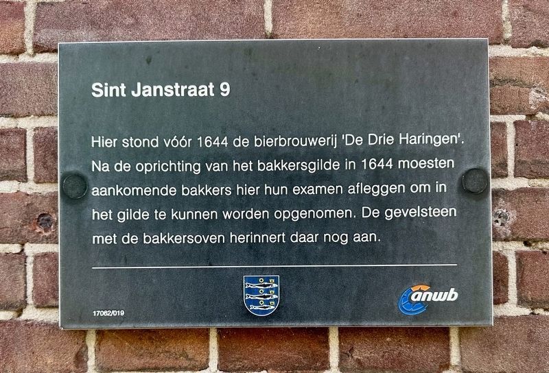
Sint Janstraat 9
Photographed by Andrew Ruppenstein, September 7, 2026
1. Sint Janstraat 9 Marker

Erected by Gemeente Enkhuizen, ANWB, VVV. (Marker Number 17082/019.)
Topics. This historical marker is listed in these topic lists: Industry & Commerce • Labor Unions. A significant historical year for this entry is 1644.
Location. 52° 42.146′ N, 5° 17.492′ E. Marker is in Enkhuizen, Noord-Holland (North Holland). It is on Sint Janstraat north of Dijk, on the left. Touch for map. Marker is at or near this postal address: Sint Janstraat 9, Enkhuizen, Noord-Holland 1601 NC, Netherlands. Touch for directions.

Regionally, it is in Europe, the
this page online
Other nearby markers. At least 8 other markers are within walking distance of this marker: Vermaning (Doopsgezinde kerk) / Vermaning (Mennonite Church) (about 90 meters away, measured in a direct line); St. Pancras- of Zuidertoren / St. Pancras- or Southern Tower (about 150 meters away); Synagoge / Synagogue (about 180 meters away); Zuiderpoort of Drommedaris / South Gate or Drommedaris (about 210 meters away); Enkhuizen Harbor Bombardment Memorial (about 210 meters away); Oude Weeshuis / Old Orphanage (approx. 0.3 kilometers away); Stadhuis / Town Hall (approx. 0.3 kilometers away); Gevangenis / Prison (approx. 0.3 kilometers away). Touch for a list and map of all markers in Enkhuizen.
Photographed by Andrew Ruppenstein, September 7, 2026
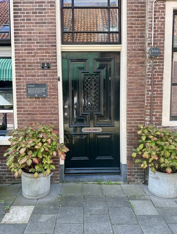
2. Sint Jansstraat 9 Marker - wide view
Photographed by Andrew Ruppenstein, September 7, 2026
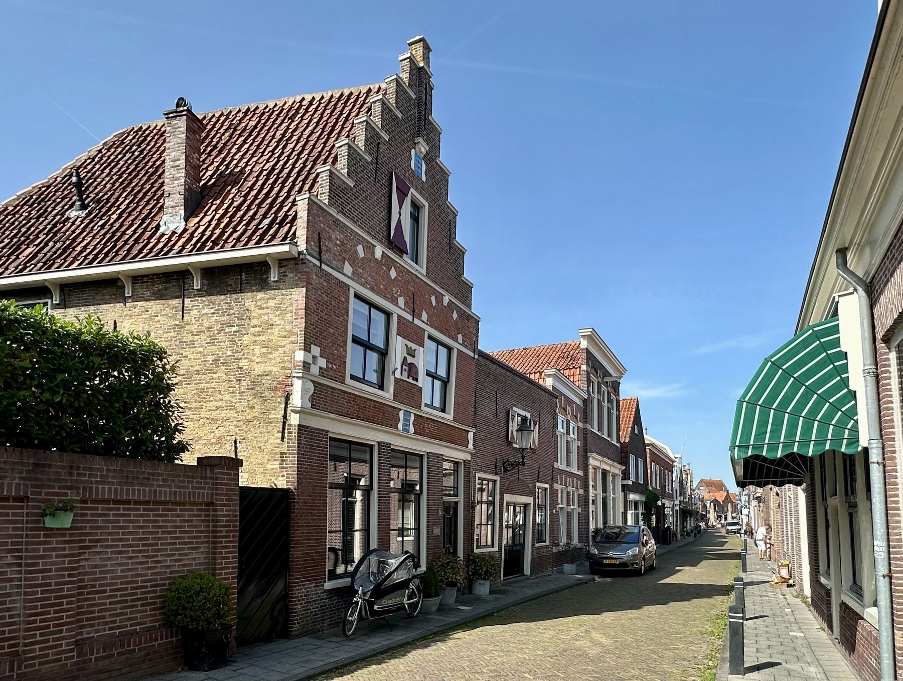
3. Sint Janstraat 9 and marker - looking north on Sint Janstraat
Credits. This page was last revised on September 16, 2026. It was originally submitted on September 16, 2026, by Andrew Ruppenstein of Lamorinda, California. This page has been viewed 3 times since then. Photos: 1, 2, 3. submitted on September 16, 2026, by Andrew Ruppenstein of Lamorinda, California.
