Westfield in Union County, New Jersey — The American Northeast (Mid-Atlantic)
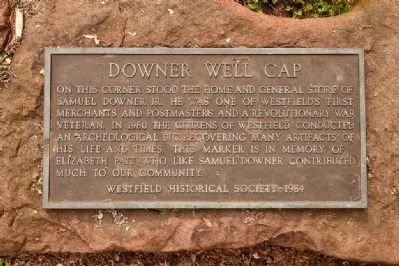
Downer Well Cap
Erected 1984 by Westfield Historical Society.
Topics. This historical marker is listed in these topic lists: Colonial Era • Patriots & Patriotism • War, US Revolutionary. A significant historical year for this entry is 1980.
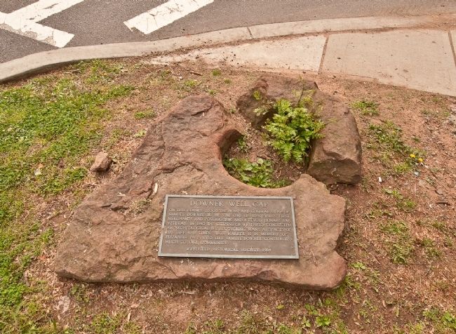
Location. 40° 39.172′ N, 74° 20.831′ W. Marker is in Westfield, New Jersey, in Union County. Marker is at the intersection of E. Broad Street and Mountain Ave on E. Broad Street. Marker is flat on the ground and is easily missed. Touch for map. Marker is in this post office area: Westfield NJ 07090, United States of America. Touch for directions.
Other nearby markers. At least 8 other markers are within walking distance of this marker. Presbyterian Church in Westfield (within shouting distance of this marker); Meeting House (within shouting distance of this marker); Men of Westfield (about 300 feet away, measured in a direct line); Westfield Church (about 300 feet away); Revolutionary War Soldiers (about 400 feet away); Revolutionary Cemetery (about 500 feet away); Westfield (approx. ¼ mile away); Gallows Hill (approx. one mile away). Touch for a list and map of all markers in Westfield.
Credits. This page was last revised on June 16, 2016. It was originally submitted on May 24, 2010, by Ronald Claiborne of College Station, Texas. This page has been viewed 1,070 times since then and 11 times this year. Photos: 1, 2. submitted on May 24, 2010, by Ronald Claiborne of College Station, Texas. • Bill Pfingsten was the editor who published this page.

