Valdez in Chugach Census Area, Alaska — Northwest (North America)
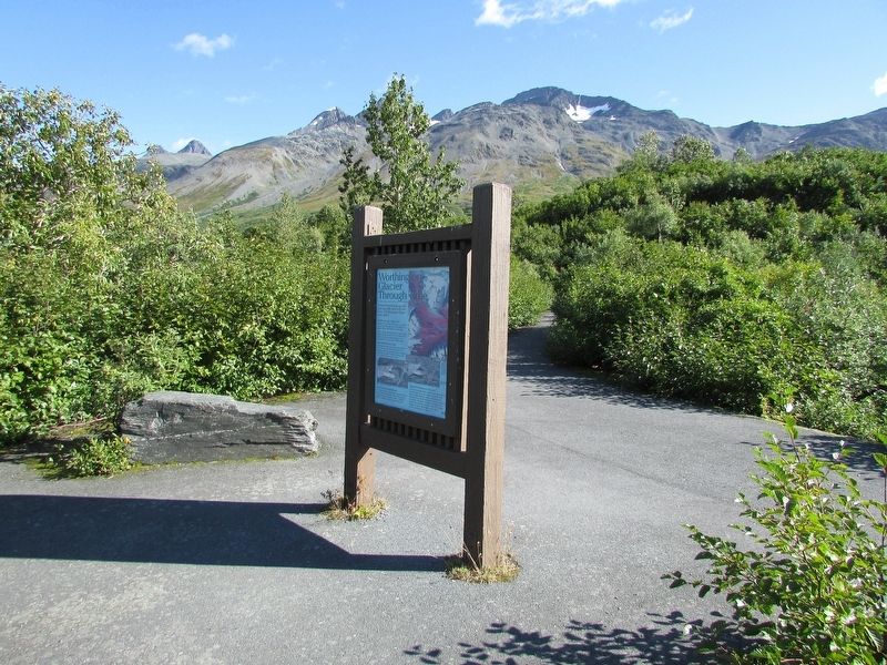
Worthington Glacier Through Time
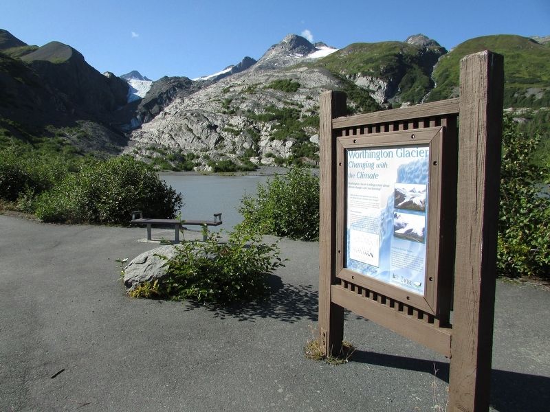
Worthington Glacier Changing with the Climate
Photographed by Bill Coughlin, August 29, 2026
1. Worthington Glacier Through Time Marker
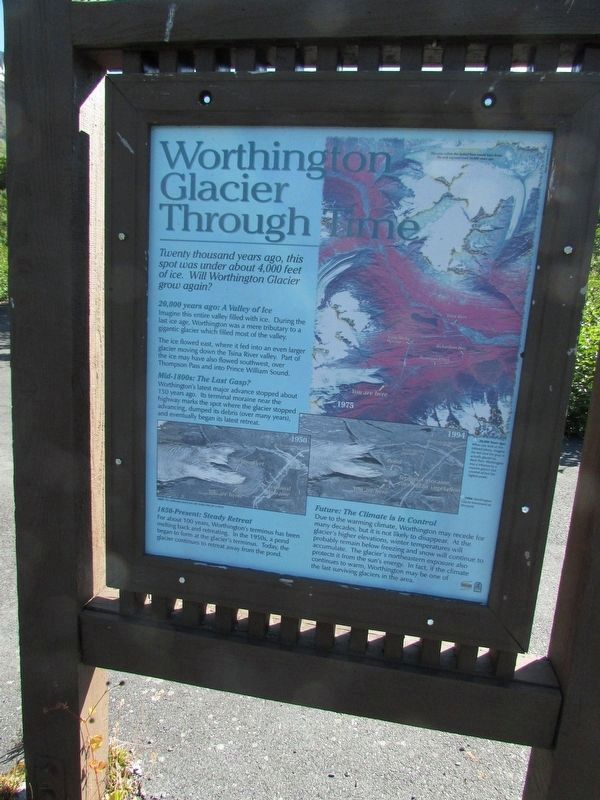
2,000 years ago: A Valley of Ice
Imagine this entire valley filled with ice. During the last ice age, Worthington was a mere tributary to a gigantic glacier which filled most of the valley.
The ice flowed east, where it fed into an even larger glacier moving down the Tsina River valley. Part of the ice may have also flowed southwest, over Thompson Pass and into Prince William Sound.
Mid-1800s: The Last Gasp?
Worthington’s latest major advance stopped about 150 years ago. Its terminal moraine near the highway marks the spot where the glacier stopped advancing, dumped its debris (over many years), and eventually began its latest retreat.
1850-Present: Steady Retreat
For about 100 years, Worthington’s terminus has been melting back and retreating. In the 1950s, a pond began to form at the glacier’s terminus. Today, the glacier continues to retreat away from the pond.
Future: The Climate is in Control
Due to the warming climate, Worthington may recede for many decades, but it is not likely to disappear.
this page online
< Reverse Side: >
Worthington Glacier Changing with the Climate
Worthington Glacier is telling a story about climate change – are you listening?
Did you know that glaciers can tell is a lot about climate variation and change?
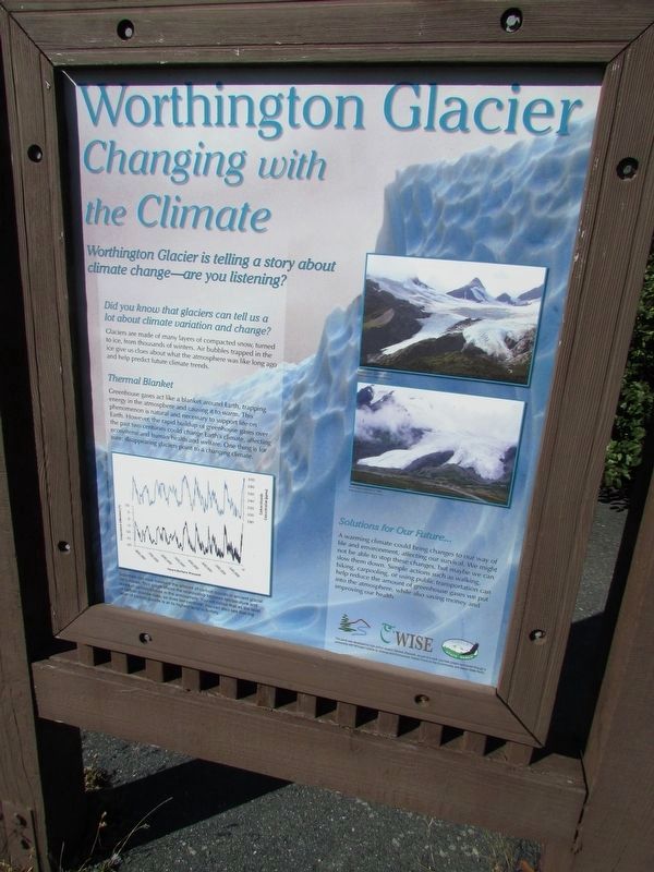
Glaciers are made of many layers of compacted snow, turned to ice, from thousands of winters. Air bubbles trapped in the ice gives us clues about what the atmosphere was like long ago and help predict future climate trends.
Thermal Blanket
Greenhouse gases act like a blanket around Earth, trapping energy in the atmosphere and causing it to warm. This phenomenon is natural and necessary to support life on Earth. However, the rapid buildup greenhouse gasses over the past two centuries could change Earth’s climate, affecting ecosystems and human health and welfare. One thing is for sure: disappearing glaciers
Photographed by Bill Coughlin, August 29, 2026
2. Worthington Glacier Changing with the Climate Marker
Marker is on the other side of Worthington Glacier Through Time marker.
Solutions for Our Future . . .
A warming climate could bring changes to our way of life and environment, affecting our survival. We might not be able to stop these changes, but maybe we can slow them down. Simple actions such as walking, biking, carpooling, or using public transportation can help reduce the amount of greenhouse gases we put into the atmosphere, while also saving money and improving our health.
Location. 61° 10.077′ N, 145° 42.864′ W. Marker is in Valdez in Chugach Census Area, Alaska. It can be reached from Worthington Glacier Road, on the right when traveling south. Marker is at the Worthington Glacier State Recreation Site. Touch for map. Marker is at or near this postal address: 28.7 Richardson Hwy, Valdez AK 99686, United States of America. Touch for directions.

Regionally, this marker is in Southcentral Alaska. It is also on the American Pacific Coast. Globally, it is in North America, on the Ring of Fire, on the Pacific Rim, in the Western Hemisphere, in the Western World, and in the Anglosphere. Historically, it finds itself in
Photographed by Bill Coughlin, August 29, 2026
3. Worthington Glacier Through Time Marker
Other nearby markers. At least 8 other markers are within 9 miles of this marker, measured as the crow flies: Cracked Ice (within shouting distance of this marker); Ice Creatures?! (about 300 feet away, measured in a direct line); 2100 Pounds of Gold Abandoned on Thompson Pass (about 300 feet away); Worthington Glacier (about 300 feet away); Where to Find a Glacier (about 300 feet away); Gold Rush Pioneer Trail: The Richardson Highway, Oldest Highway in Alaska (approx. 5.2 miles away); Horse and Sled Trail (approx. 8.3 miles away); Old Railroad Tunnel (approx. 8.3 miles away). Touch for a list and map of all markers in Valdez.
More about this marker. On the Worthington Glacier Through Time marker is an infrared map with the caption “20,000 years ago: When you look at this infrared photo, imagine the red (and the gray) is actually glacial ice. Back then, Worthington was a tributary to a massive glacier that covered all but the highest peaks.” Below this is a 1994 photo showing that Worthington Glacier terminated at the pond.
On the Worthington Glacier Changing with the Climate marker is a chart
Photographed by Bill Coughlin, August 29, 2026
4. Worthington Glacier Changing with the Climate Marker
Photographed by Bill Coughlin, August 29, 2026
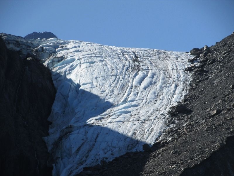
5. Worthington Glacier
Credits. This page was last revised on September 16, 2026. It was originally submitted on September 16, 2026, by Bill Coughlin of Woodland Park, New Jersey. This page has been viewed 7 times since then. Photos: 1, 2, 3, 4, 5. submitted on September 16, 2026, by Bill Coughlin of Woodland Park, New Jersey.
