Milford Mine Memorial Park near Wolford in Crow Wing County, Minnesota — The American Midwest (Upper Plains)
Looking North
Photographed by McGhiever, June 27, 2025
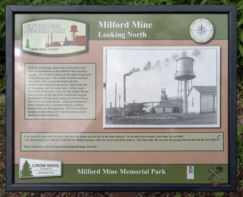
1. Looking North Marker
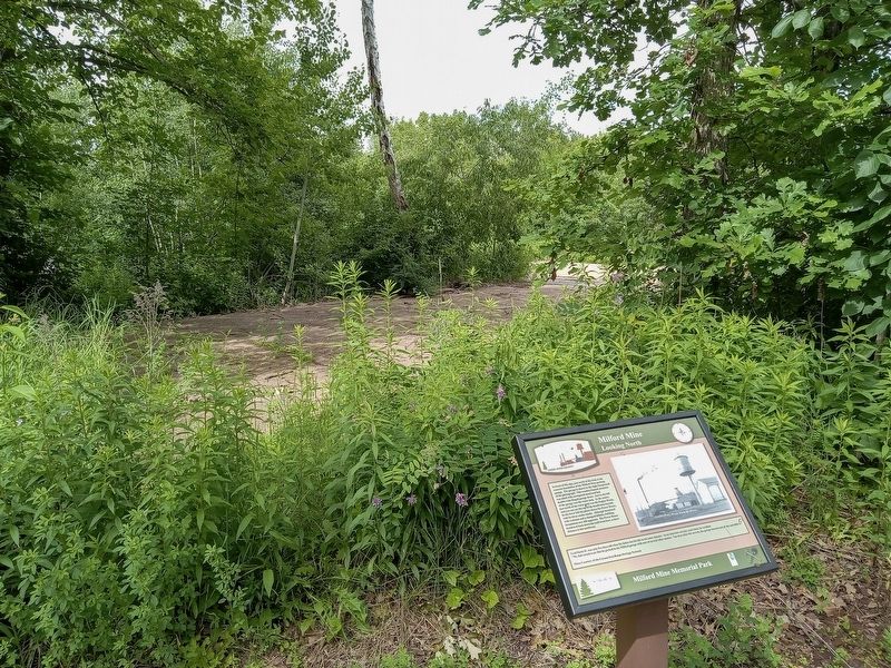
In front of this sign, just north of the trail, is the concrete foundation of the Milford Mine parking garage. The garage is shown in the right foreground of the photograph. This wooden framed structure was sided with corrugated metal and had double-wide hinged garage doors. Just to the left of the garage was the water tank. In the center, just north of the water tank was the Engine House, and you can see the top of the headframe beyond. In the lower left the photo shows the Power House, with its three smoke stacks. Although inundated with wetlands and a slumped hillside, building foundations are still apparent. The Power House location is back down the trail from here, a short distance to the northwest.
Fred Harte Jr. was only five days old when his father lost his life in the mine disaster. In an interview seventy years later, he recalled: "My dad owned a car that he parked in the Milford garage with cars of several other miners. Ten days after the cave-in, the garage burned and all the cars with it."
Photo Courtesy of the Cuyuna Iron Range Heritage Network
Erected by Crow Wing County.
Topics. This
this page online
Location. 46° 32.052′ N, 93° 58.344′ W. Marker is near Wolford, Minnesota, in Crow Wing County. It is in Milford Mine Memorial Park. It can be reached from Milford Lake Drive. The marker is just northwest of trail intersection #3. Touch for map. Marker is in this post office area: Crosby MN 56441, United States of America. Touch for directions.

Regionally, this marker is in the Northland. It is also in the American Midwest, in the Corn Belt, and in the Great River Road Region. Globally, it is in North America, the Great North Woods, the Western Hemisphere, the Western World, and the Anglosphere. Historically, it finds itself in what was once Rupert’s Land, the territory of the Mississippian Culture, and the Northwest Territory.
Other nearby markers. At least 8 other markers are within walking distance of this marker: Dry House (a few steps from this marker); Water Tank (a few steps from this marker); Engine House (within shouting distance of this marker); Milford Miners
Photographed by McGhiever, June 27, 2025
2. Looking North marker and garage foundation
Credits. This page was last revised on September 17, 2026. It was originally submitted on September 17, 2026, by McGhiever of Minneapolis, Minnesota. This page has been viewed 4 times since then. Photos: 1, 2. submitted on September 17, 2026, by McGhiever of Minneapolis, Minnesota.
