Ouderkerk aan de Amstel in Ouder-Amstel, North Holland, Netherlands — Northwestern Europe
Brugstraat, Lange brug en Ponteveer
⎯⎯⎯
Brugstraat, “Long Bridge”, and Ferry
Photographed by Andrew Ruppenstein, September 1, 2026
1. Brugstraat, “Long Bridge”, and Ferry Marker

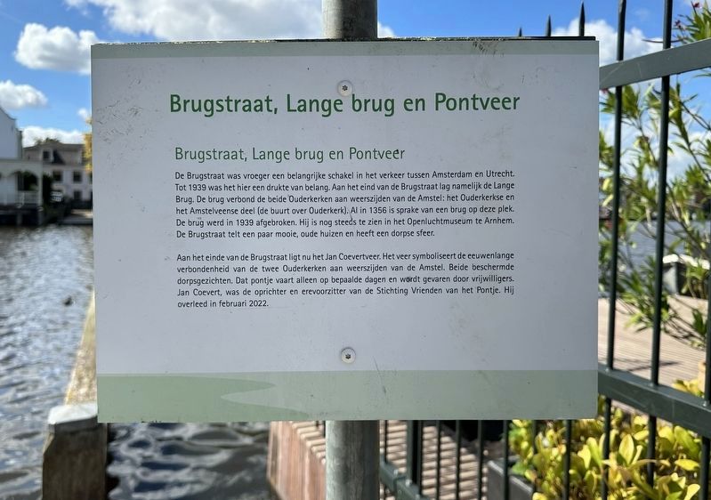
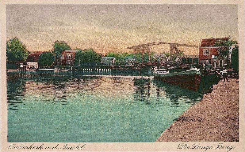
De Brugstraat was vroeger een belangrijke schakel in het verkeer tussen Amsterdam en Utrecht. Tot 1939 was het hier een drukte van belang. Aan het eind van de Brugstraat lag namelijk de Lange Brug. De brug verbond de beide Ouderkerken aan weerszijden van de Amstel: het Ouderkerkse en het Amstelveense deel (de buurt over Ouderkerk). Al in 1356 is sprake van een brug op deze plek. De brug werd in 1939 afgebroken. Hij is nog steeds te zien in het Openluchtmuseum te Arnhem. De Brugstraat telt een paar mooie, oude huizen en heeft een dorpse sfeer.
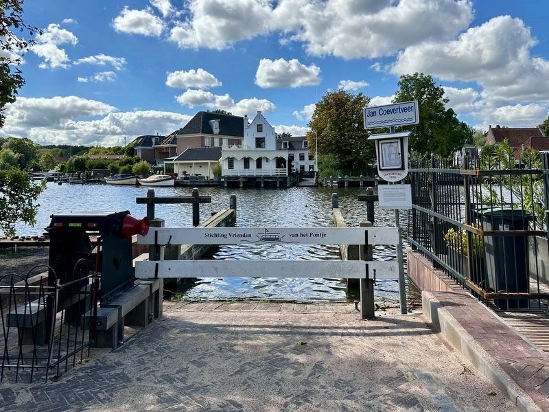
Aan het einde van de Brugstraat ligt nu het Jan Coevertveer. Het veer symboliseert de eeuwenlange verbondenheid van de twee Ouderkerken aan weerszijden van de Amstel. Beide beschermde dorpsgezichten. Dat pontje vaart alleen op bepaalde dagen en wordt gevaren door vrijwilligers. Jan Coevert, was de oprichter en erevoorzitter van de Stichting Vrienden van het Pontje. Hij overleed in februari 2022.
Brugstraat, “Long Bridge”, and Ferry
Brugstraat was once a vital link in the traffic between Amsterdam and
this page online
The Jan Coevert Ferry is now located at the end of Brugstraat. The ferry symbolizes the centuries-old connection between the two parts of Ouderkerk on either side of the Amstel—both of which are designated protected village areas. The small ferry operates only on specific days and is crewed by volunteers. Jan Coevert was the founder and honorary chairman of the Stichting Vrienden van het Pontje (“Friends of the Ferry Foundation”); he passed away in February 2022.
Topics. This historical marker is listed in these topic lists: Bridges & Viaducts • Waterways & Vessels. A significant historical year for this entry is 1939.
Location. 52° 17.835′ N,
Photographed by Andrew Ruppenstein, September 1, 2026
2. Brugstraat, Lange brug en Ponteveer Marker - wide view, looking across the Amstel towards Amstelveen

Regionally, it is in Europe, the European Union, Atlantic Europe, the Benelux Low Countries, the Schengen Area, Western Europe, and the Western World. Historically, it finds itself in what was once the Holy Roman Empire.
Other nearby markers. At least 8 other markers are within walking distance of this marker: Hooger-Lust (within shouting distance of this marker); Schoonzicht/Amstel-dael (about 120 meters away, measured in a direct line); D’Corendrager / “The Grain Carrier” (about 150 meters away); Huis met de kettingen / House with the Chains (about 150 meters away); Huize Nicolette / Nicolette House (about 150 meters away); Café De Vrije handel (about 150 meters away); Amstelkerk (about 150 meters away); Ouderkerk sinds het jaar 1000 / Ouderkerk Since the Year 1000 (about 180 meters away).
Photographed by Wed. G. van Ameide (courtesy Noord-Hollands Archief, Inventaris 34355), circa 1915
3. The Lange Brug
The marker site would be on the far right of the picture, in front of the red house.
Credits. This page was last revised on September 18, 2026. It was originally submitted on September 17, 2026, by Andrew Ruppenstein of Lamorinda, California. This page has been viewed 7 times since then. Photos: 1, 2, 3. submitted on September 17, 2026, by Andrew Ruppenstein of Lamorinda, California.
